La Brenne
- Country:
- France
- Site number:
- 518
- Area:
- 140,000.0 ha
- Designation date:
- 05-04-1991
- Coordinates:
- 46°43'21"N 01°15'06"E
Map
Photos
Overview
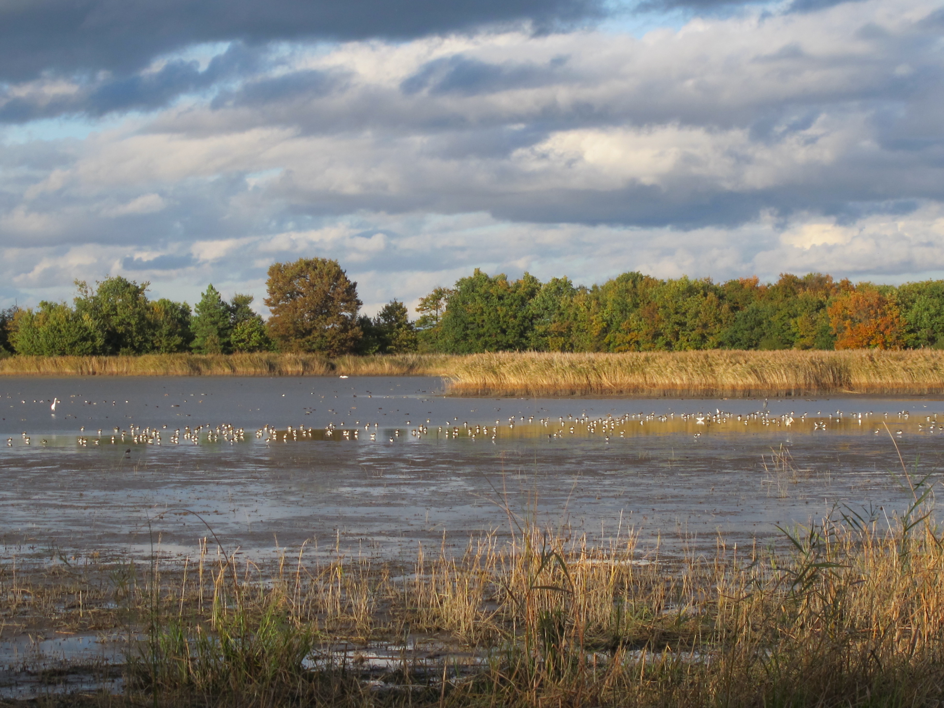
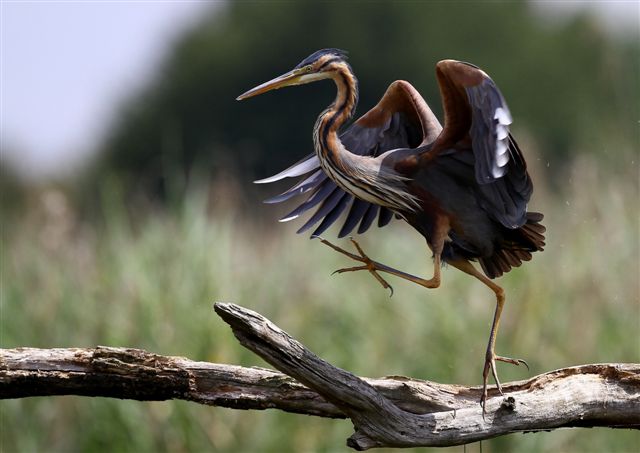
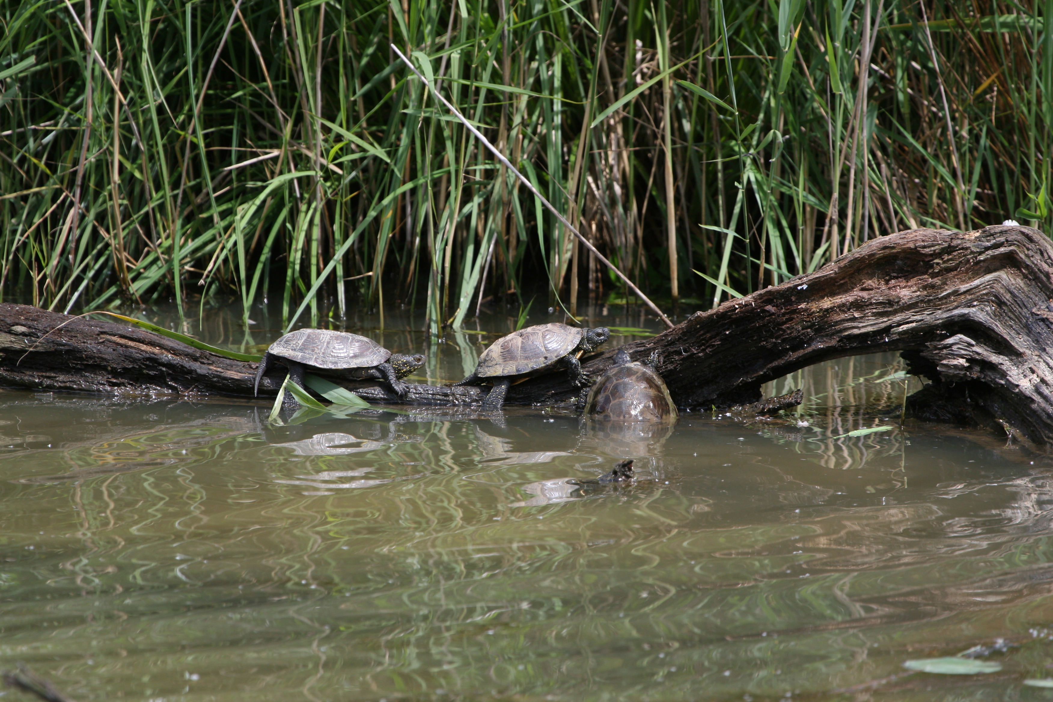
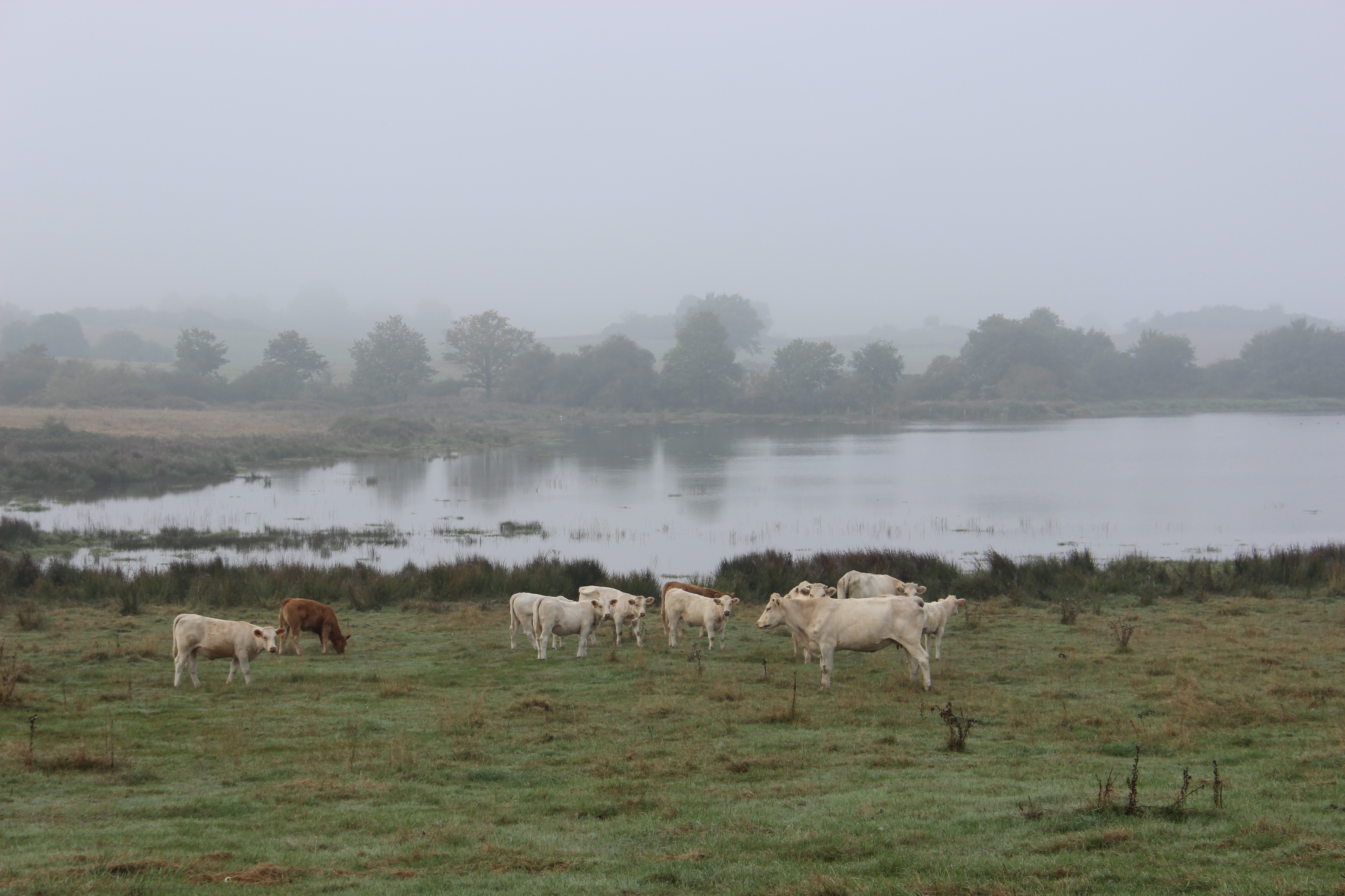
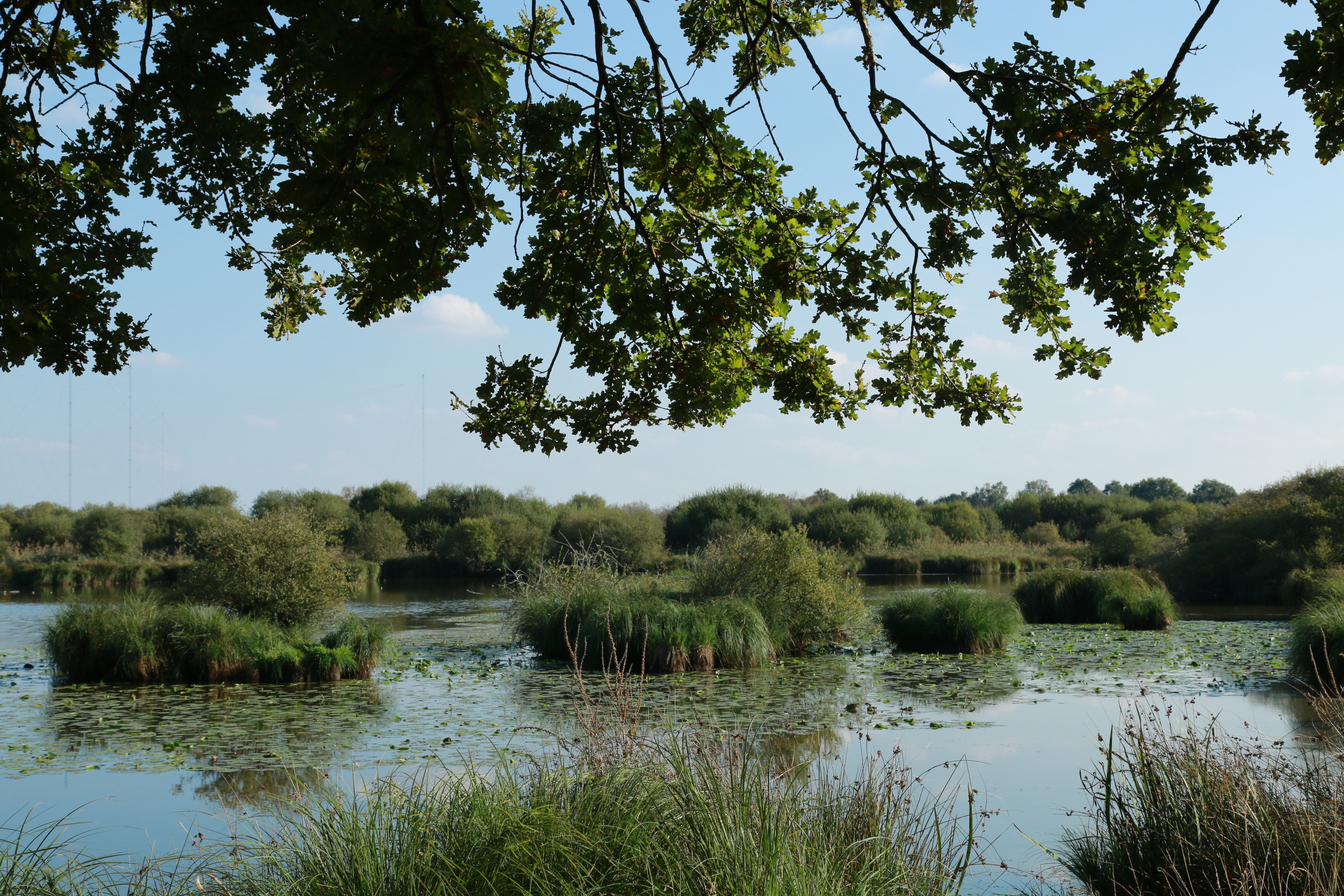
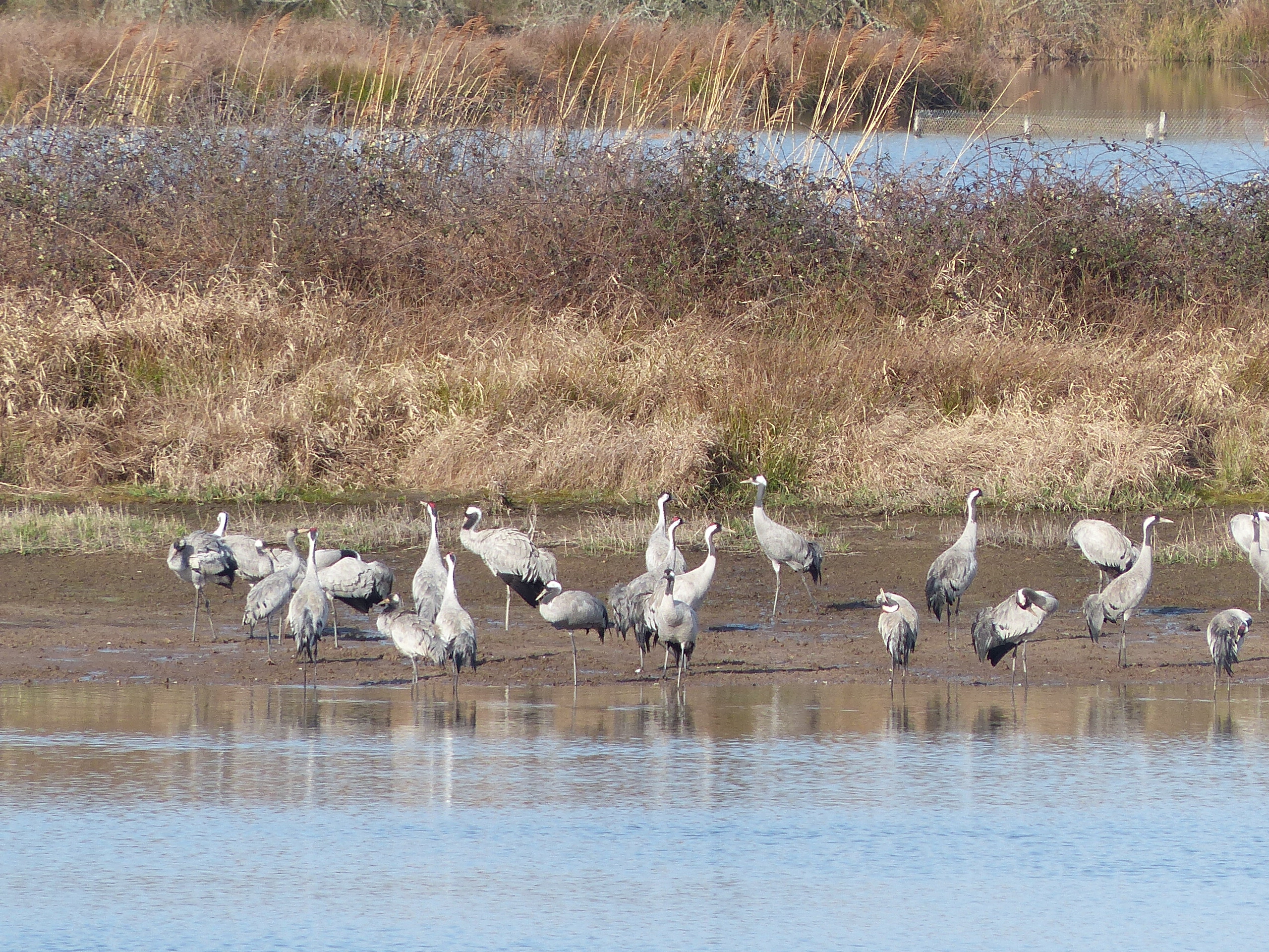
La Brenne consists of a plateau with moors, meadows, wasteland, woodland, dry grassland, and many lakes and ponds; in 2016 around 3,000 ponds were counted within its boundaries. This high variety of habitats supports great biodiversity, including several species of birds, dragonflies, amphibians, and reptiles such as the European pond turtle, one of the main symbols of the Site. The Site also supports more than 1% of the biogeographical populations of whiskered tern Chlidonias hybrida and the globally vulnerable common pochard Aythya ferina. It attracts more than 23,000 wintering birds during January. Human activities include agriculture, forestry, fish farming, game hunting and nature tourism. Fish farming and agriculture have long been of great importance for the Site, as the existing waterbodies were created during the Middle Ages for irrigation and fishing purposes. Livestock farming has an impact on the open environment, while development projects in surrounding areas and new construction within the Site are seen as potential threats.
Administrative region
National legal designation
- Parc naturel régional
- Réserve naturelle - Chérine /Saint-Michel en Brenne
- Réserve naturelle régionale - Massé-Foucault/Rosnay
- Réserve naturelle régionale - Roches/Pouligny Saint-Pierre
Regional (international) legal designations
- EU Natura 2000
Last publication date:
Download
Ramsar Information Sheet (RIS)
- FR518RIS_1906_fr.pdf
- FR518RISformer1990_FR.pdf
- FR518RISformer1990_EN.pdf
- FR518RISformer_170606.pdf
- FR518map-loc.pdf
- FR518map-site.pdf