Jaeren wetland system
- Country:
- Norway
- Site number:
- 309
- Area:
- 3,085.0 ha
- Designation date:
- 24-07-1985
- Coordinates:
- 58°44'26"N 05°38'11"E
Map
Photos

Overview
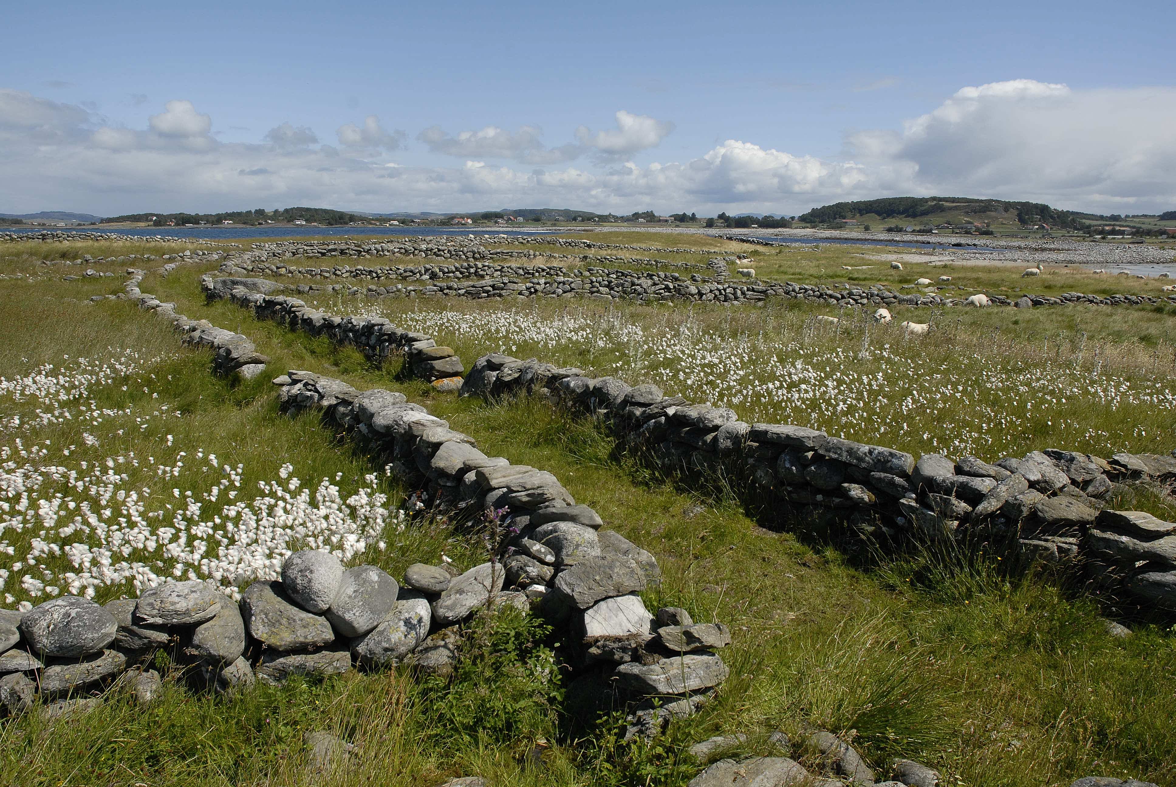
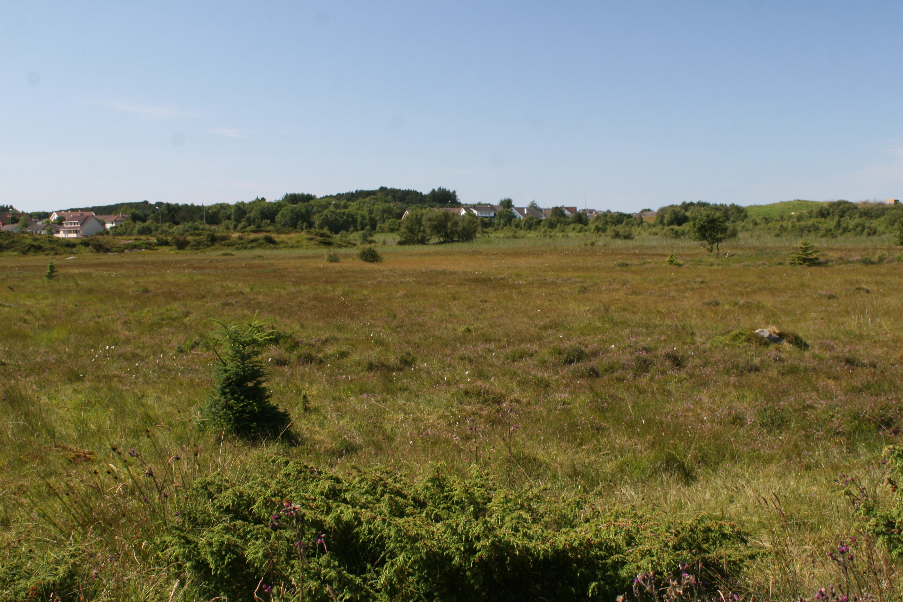
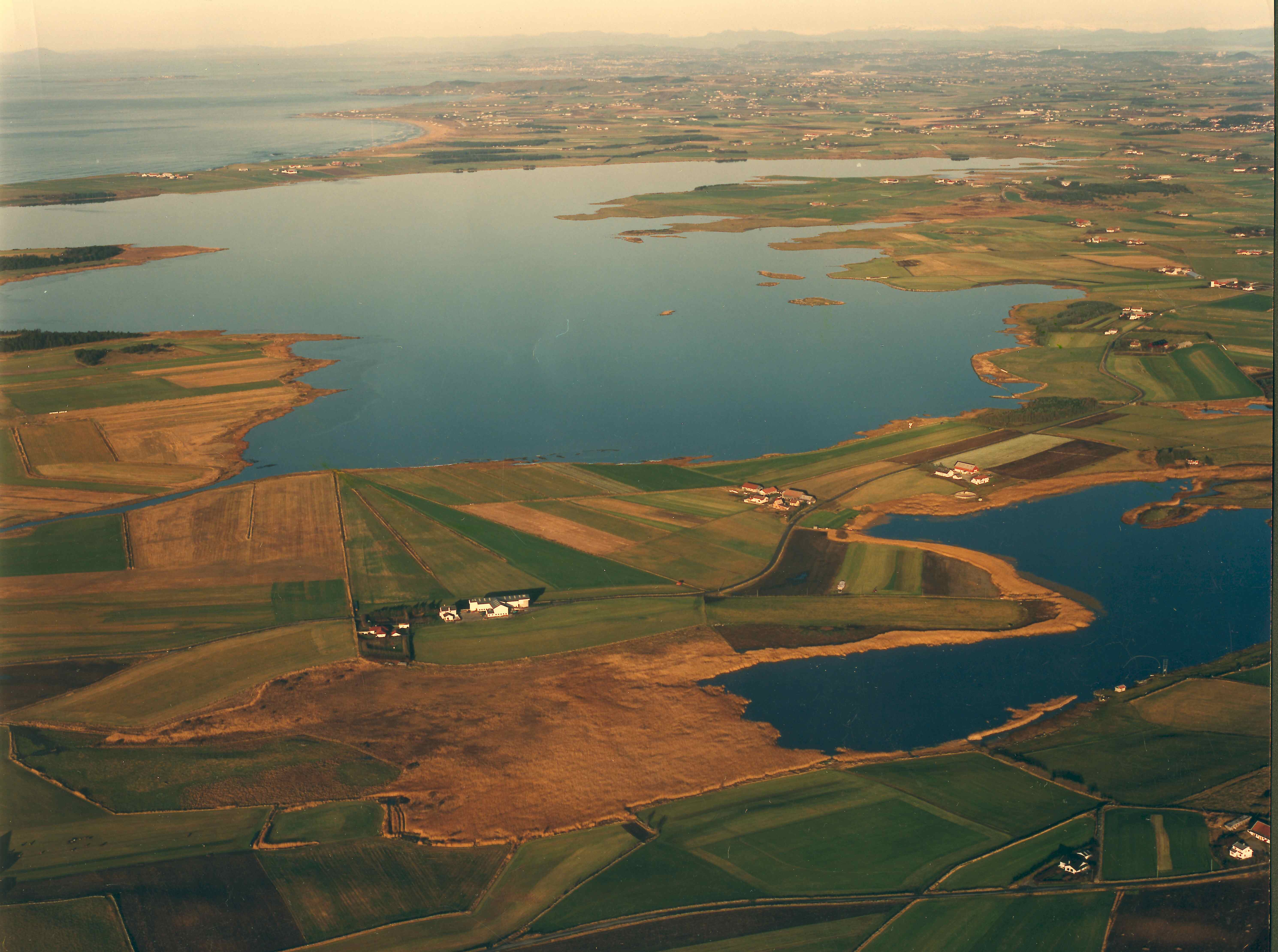
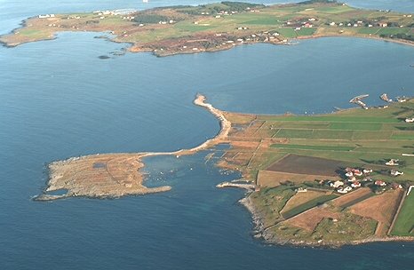
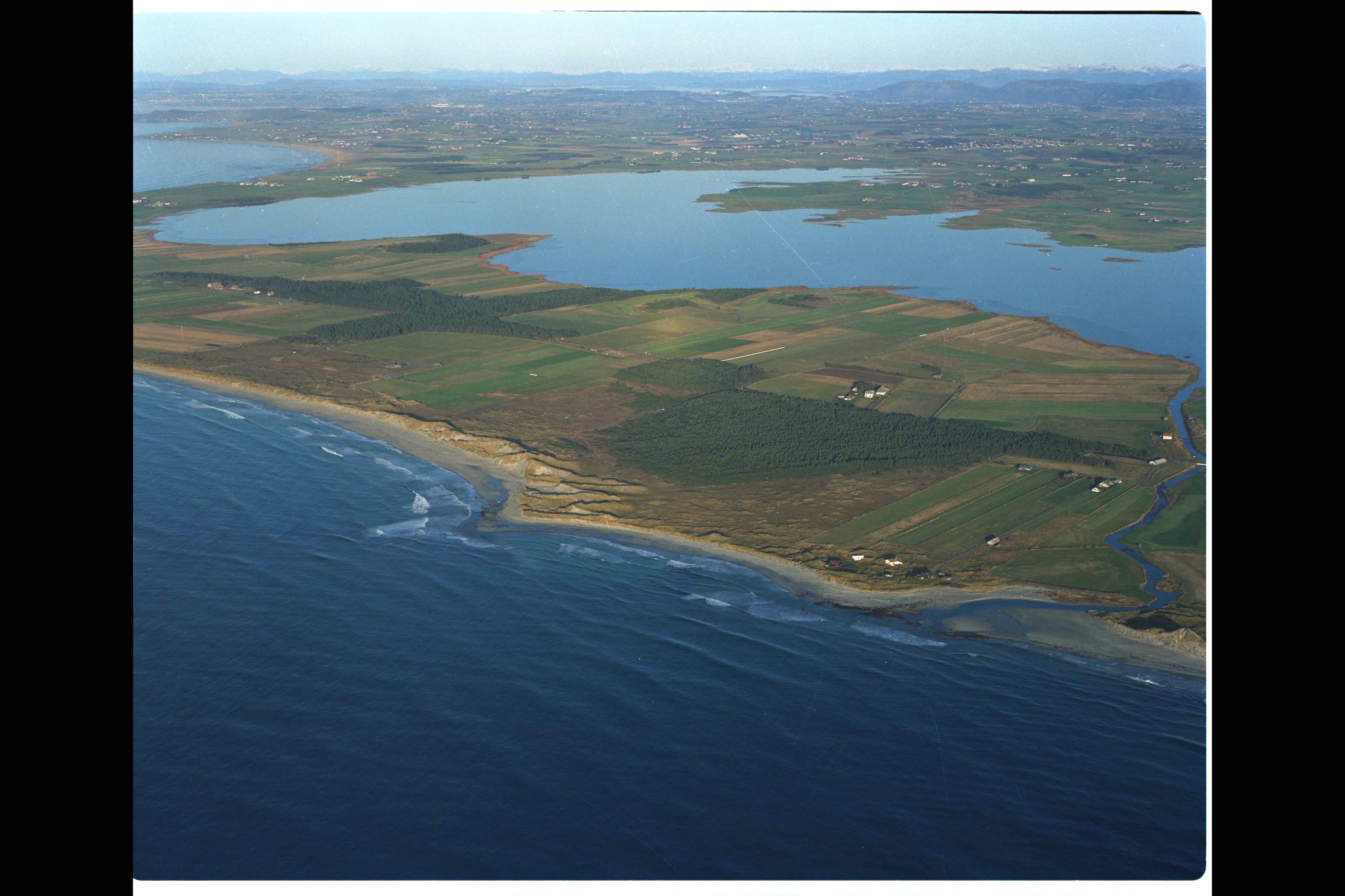
The Site lies in an agriculture-dominated area of south-western Norway which once featured extensive wetlands; its coastal wetlands remain largely intact, but freshwater sites have been drained on a large scale. This Site features marine areas dominated by sand, mud, pebble and stone shores, with large areas of dune systems, and freshwater areas in which shallow lakes and extensive stands of Phragmites communis dominate. Three smaller mire systems have also been included. The coastline of Jaeren is one of the most important resting and breeding areas in Norway for migratory and wintering seabirds, waterfowl and shorebirds, and species such as red knot (Calidris canutus), black-headed gull (Chroicocephalus ridibundus) and dunlin (Calidris alpina) can appear in great numbers. Given the influence of agriculture and the high levels of nitrogen pollution in the area, its remaining wetlands are extraordinarily important as sediment traps and for water purification. The shorelines host the densest collection of archaeological sites in Norway, with grave mounds dating back a thousand years or more. The beaches in the area are popular with local residents for leisure activities, and the freshwater lakes for fishing. Many tourists come for birdwatching. Action plans to decrease agricultural run-off were showing promise as of 2022, and buffer zones were being considered.
Administrative region
National legal designation
- bird protection area - Børaunen, Kvassheim, Nærlandstangen-Obrestad, Grudavatn
- landscape protection area - Kolnes, Orre-Reve, Skeie
- nature reserve - Alvevatn, Bjårvatn, Harvalandsvatn, Lonavatn, Orrevatn, Smokkevatn, Søylandsvatn, Øksnevadtjønn, Grannesbukta, Hagavågen, Strandnesvågen, Linemyr, Storamyr, Vigremyr
- plant protection area - Brusand and Ogna
Last publication date:
Download
Ramsar Information Sheet (RIS)
- NO309RIS_2404_en.pdf
- NO309RISformer_171010.pdf
- NO309RISformer_220713_1807_en.pdf
- NO309_map171204.pdf
- NO309_map180227.pdf
- NO309_map180227_1.pdf
- NO309_mgt171206_2.pdf
- NO309_mgt171201.pdf
- NO309_mgt171201_1.pdf
- NO309_mgt171206_7__Øksnavadtjørn.pdf
- NO309_mgt171206__Alvevatnet_Nat_Res.pdf
- NO309_mgt171206_1__Bjårvatnet_Nat_Res.pdf
- NO309_mgt171206_3__Storamyr_Nat_Res.pdf
- NO309_mgt171206_4__Lonavatnet_Nat_Res.pdf
- NO309_mgt171206_5__Smokkevatnet_Nat_Res.pdf
- NO309_mgt171206_6__Søylandsvatnet.pdf