Weser barrage
- Country:
- Germany
- Site number:
- 278
- Area:
- 1,612.0 ha
- Designation date:
- 28-10-1983
- Coordinates:
- 52°27'09"N 09°01'53"E
Map
Photos
Overview
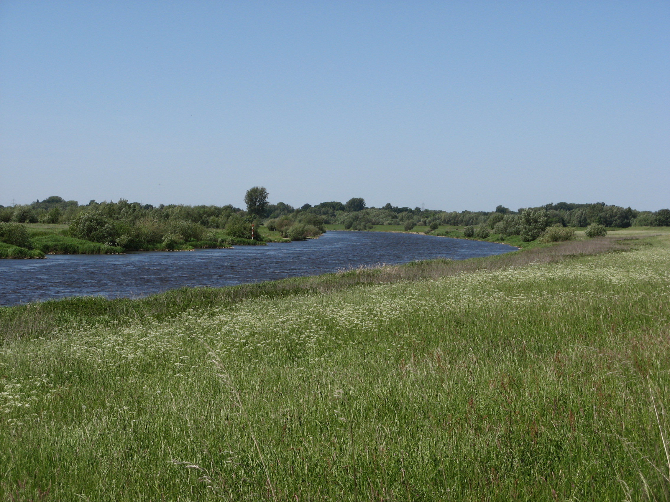
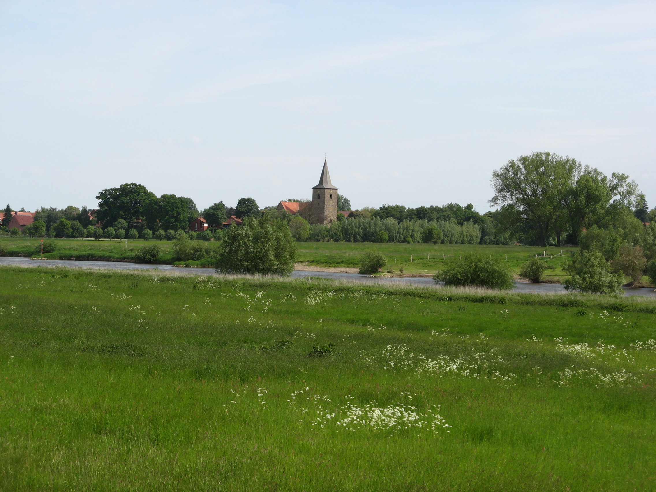
The Site extends along the River Weser from the Weser Barrage in the north to Windheim in the south west. It includes the riverbed and a floodplain area as well as adjacent farm land. The Site is one of the most important staging and wintering sites in the federal state of North Rhine-Westphalia for waterbirds such as whooper swan (Cygnus cygnus), greater white-fronted goose (Anser albifrons) and common goldeneye (Bucephala clangula). There have been changes in the farming of the land, with increased cultivation of maize and a general increase in farming intensity. Significant disturbance is also caused by recreational activities, hunting, fishing and military training, and intense shipping on the River Weser. The management plan that is being implemented includes some restoration measures.
Administrative region
National legal designation
- nature reserve - Staustufe Schlüsselburg
- nature reserve - Häverner Marsch
- nature reserve - Grube Baltus
- nature reserve - Mittelweser
- nature reserve - Weseraue
Regional (international) legal designations
- EU Natura 2000
Last publication date:
Download
Ramsar Information Sheet (RIS)
- DE278RIS_2409_en.pdf
- DE278RISformer_150210.pdf
- DE278_map240409.pdf