Lough Oughter
- Country:
- Ireland
- Site number:
- 853
- Area:
- 1,463.5 ha
- Designation date:
- 07-06-1996
- Coordinates:
- 54°01'21"N 07°26'05"W
Map
Photos
Overview
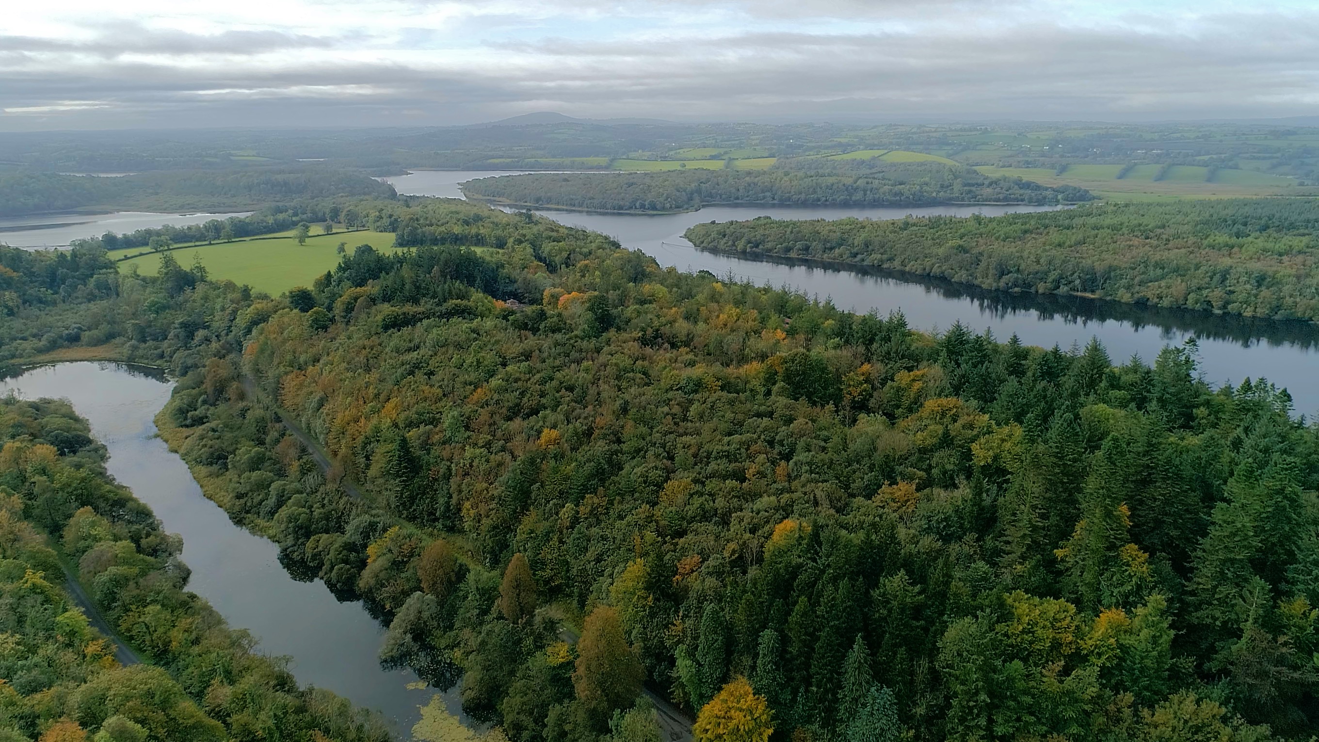
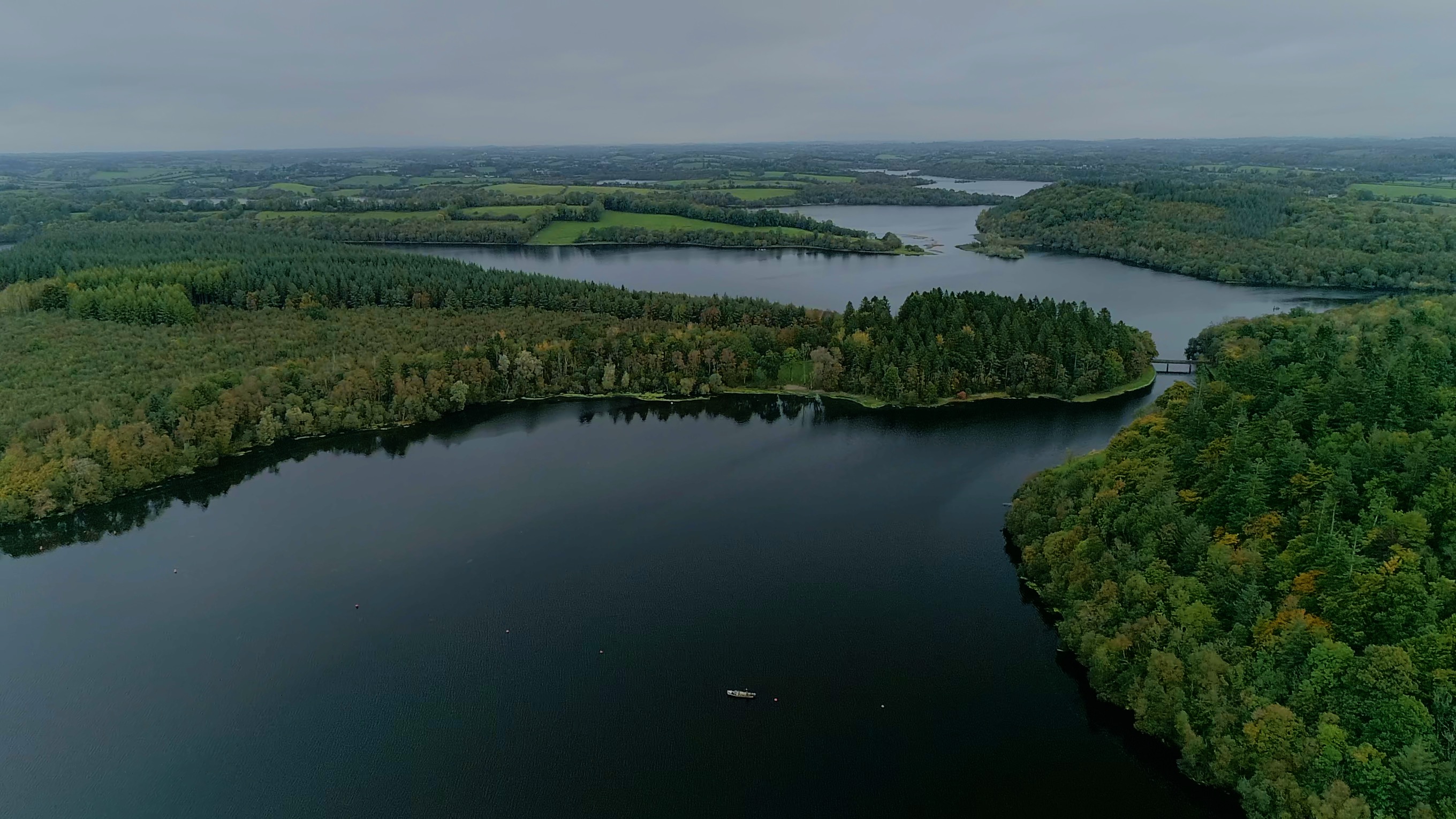
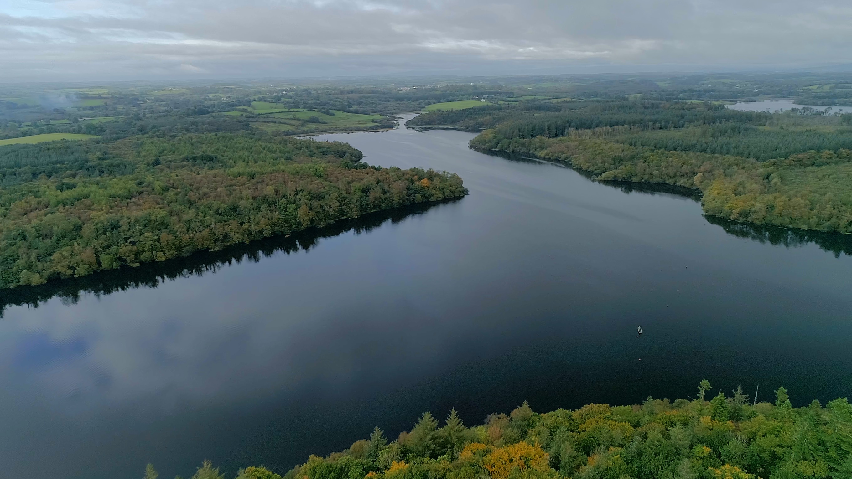
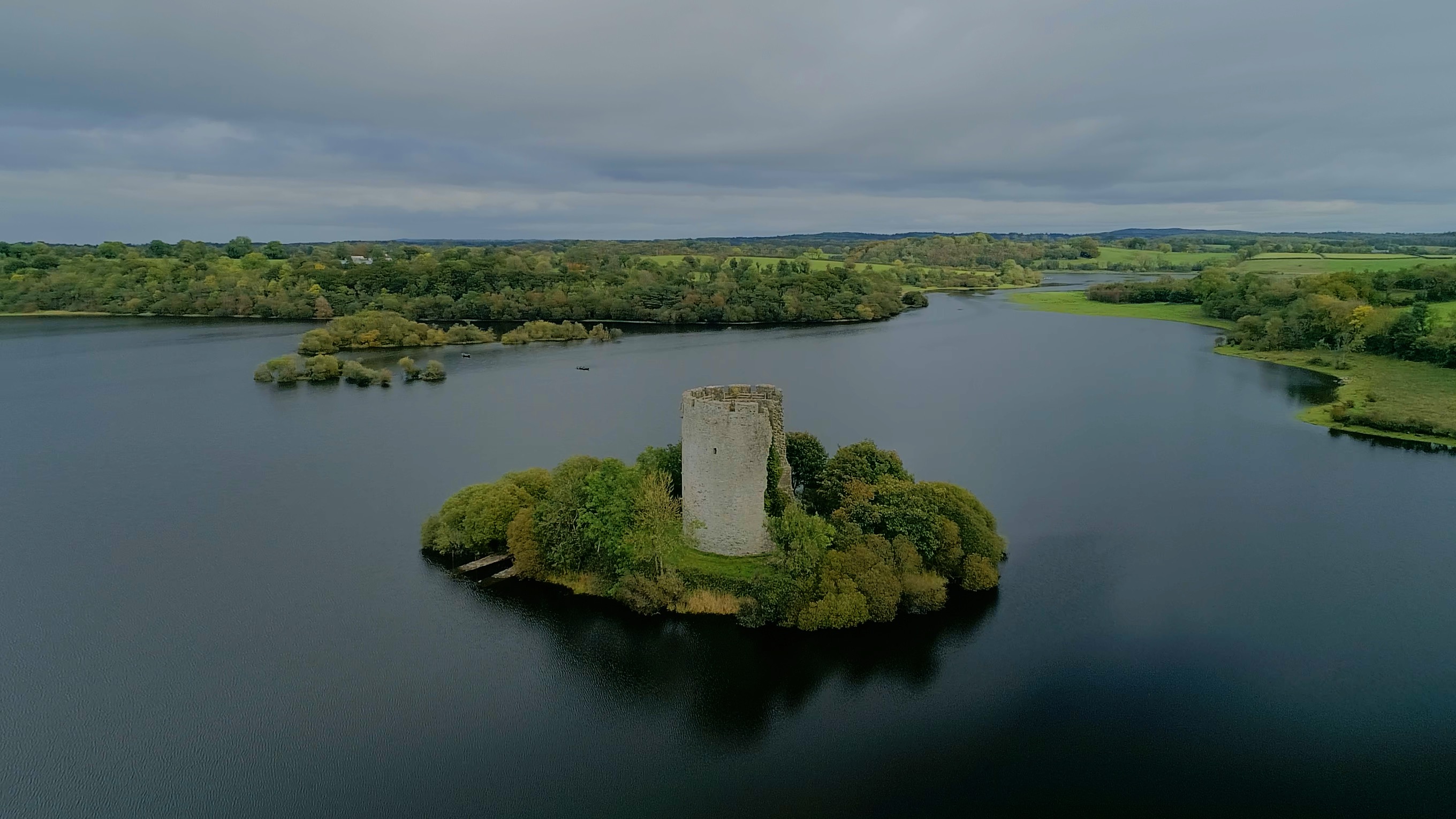
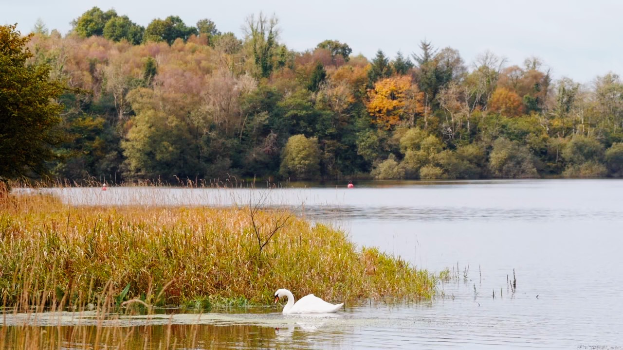
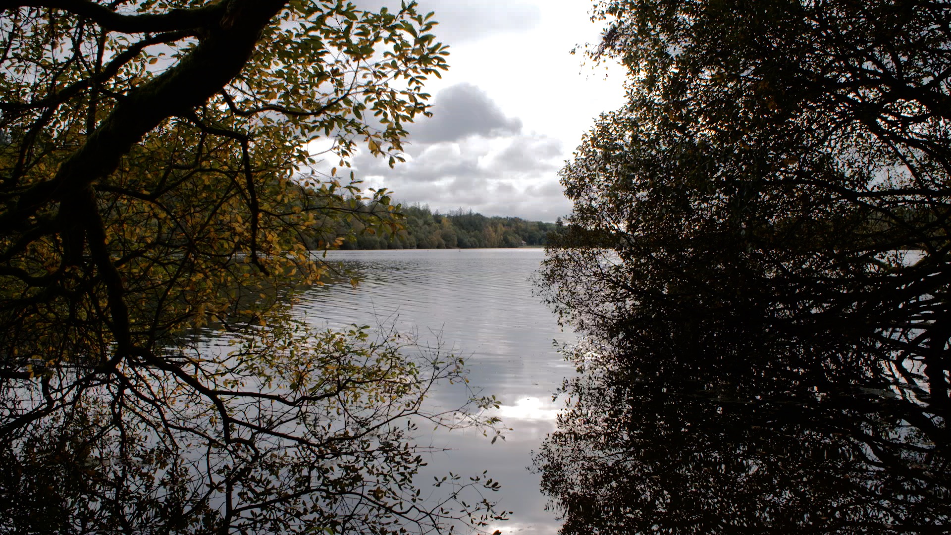
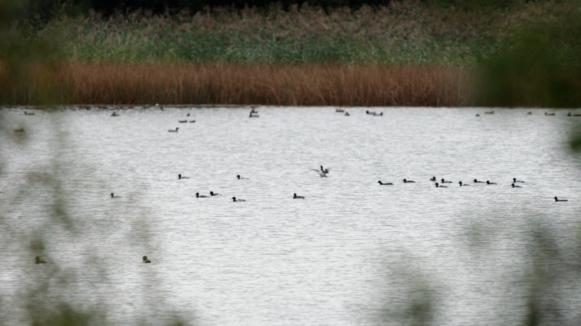
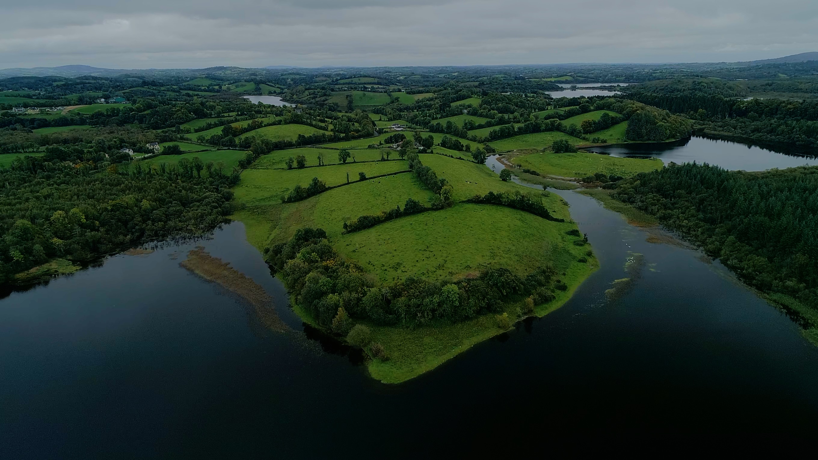
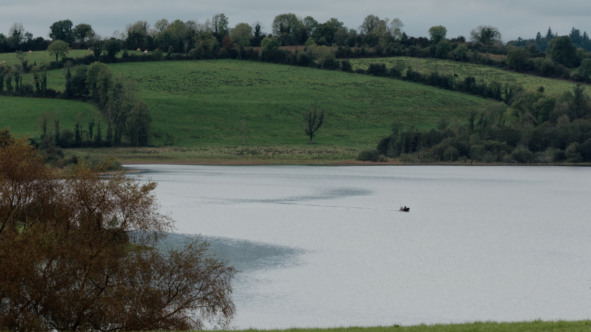
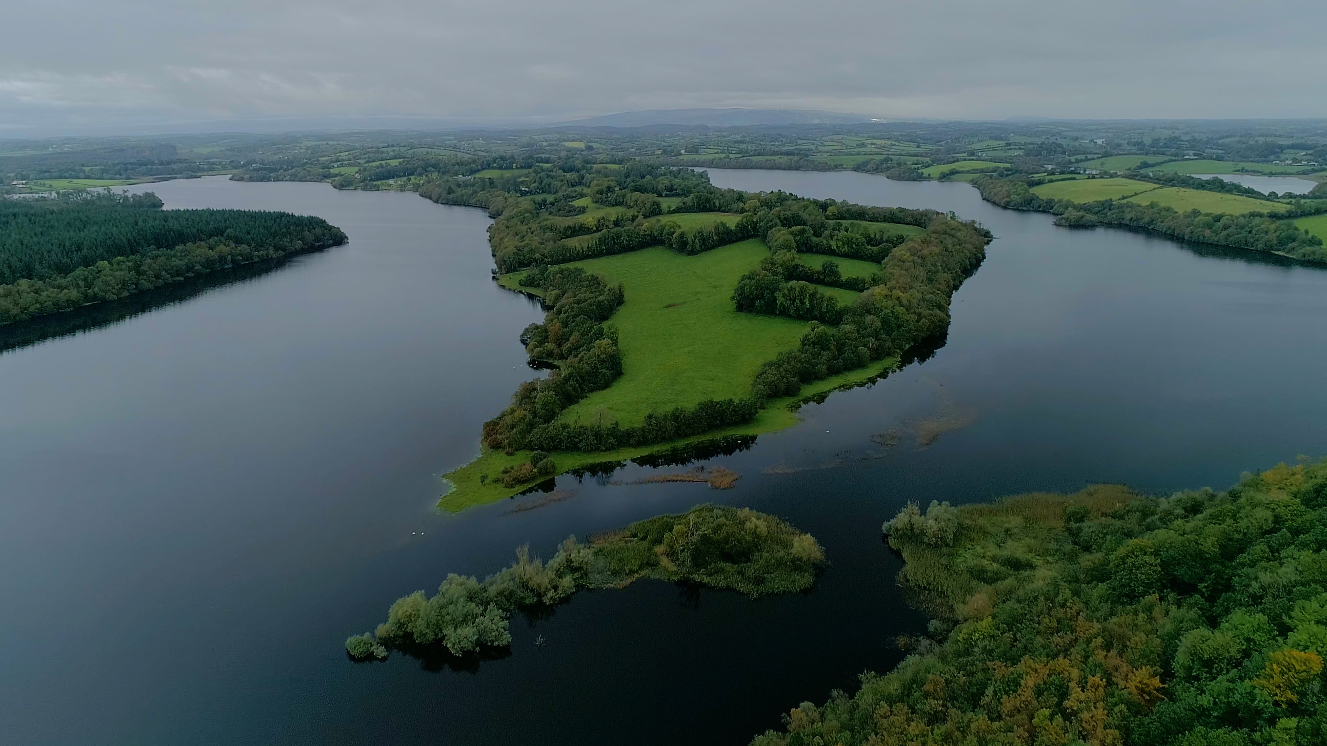
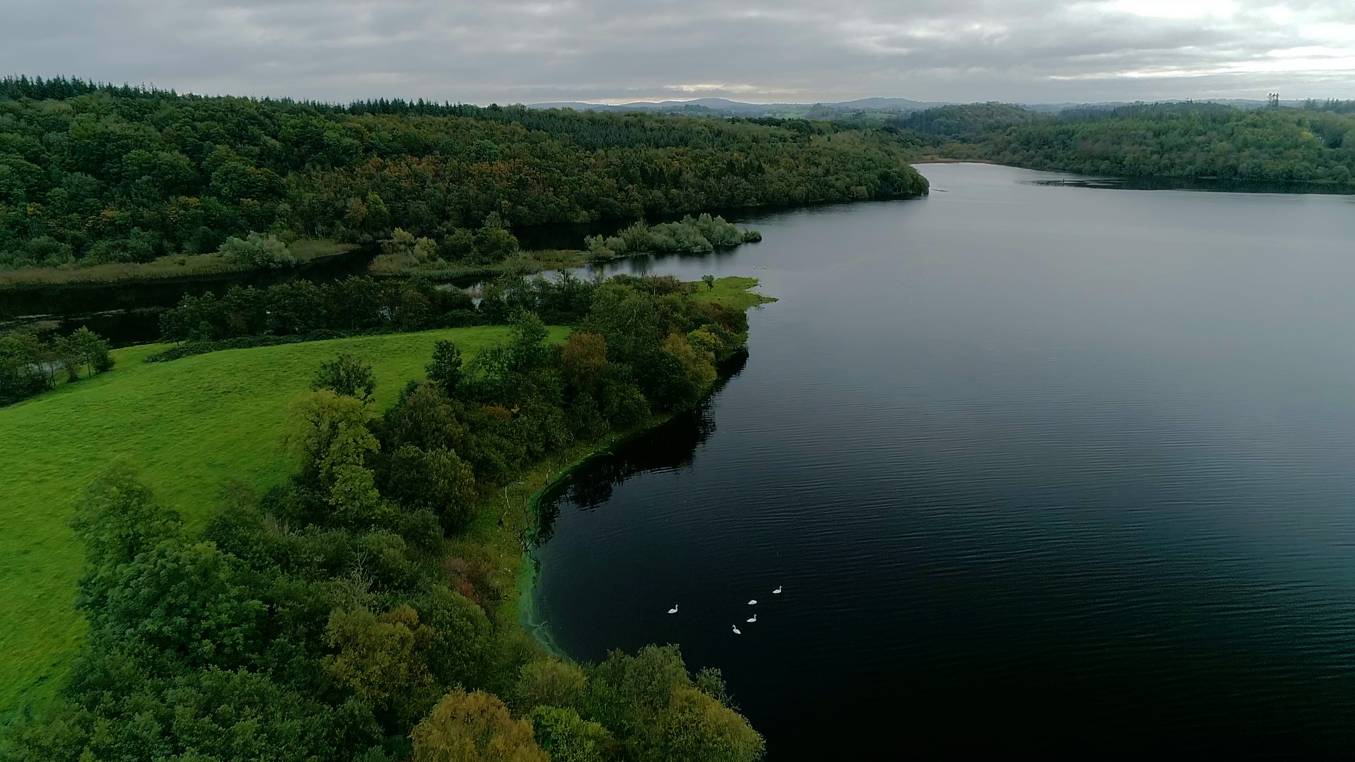
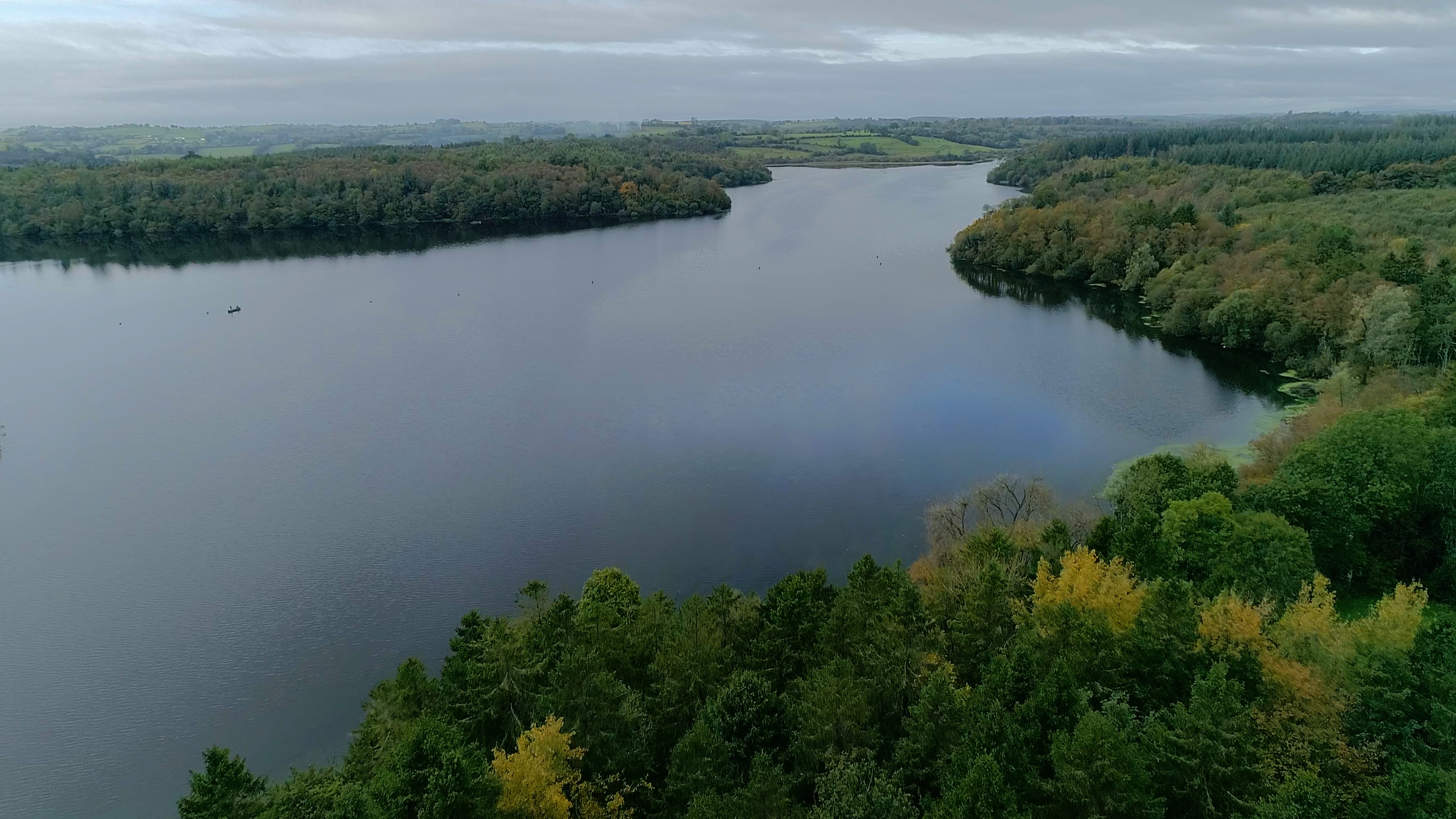
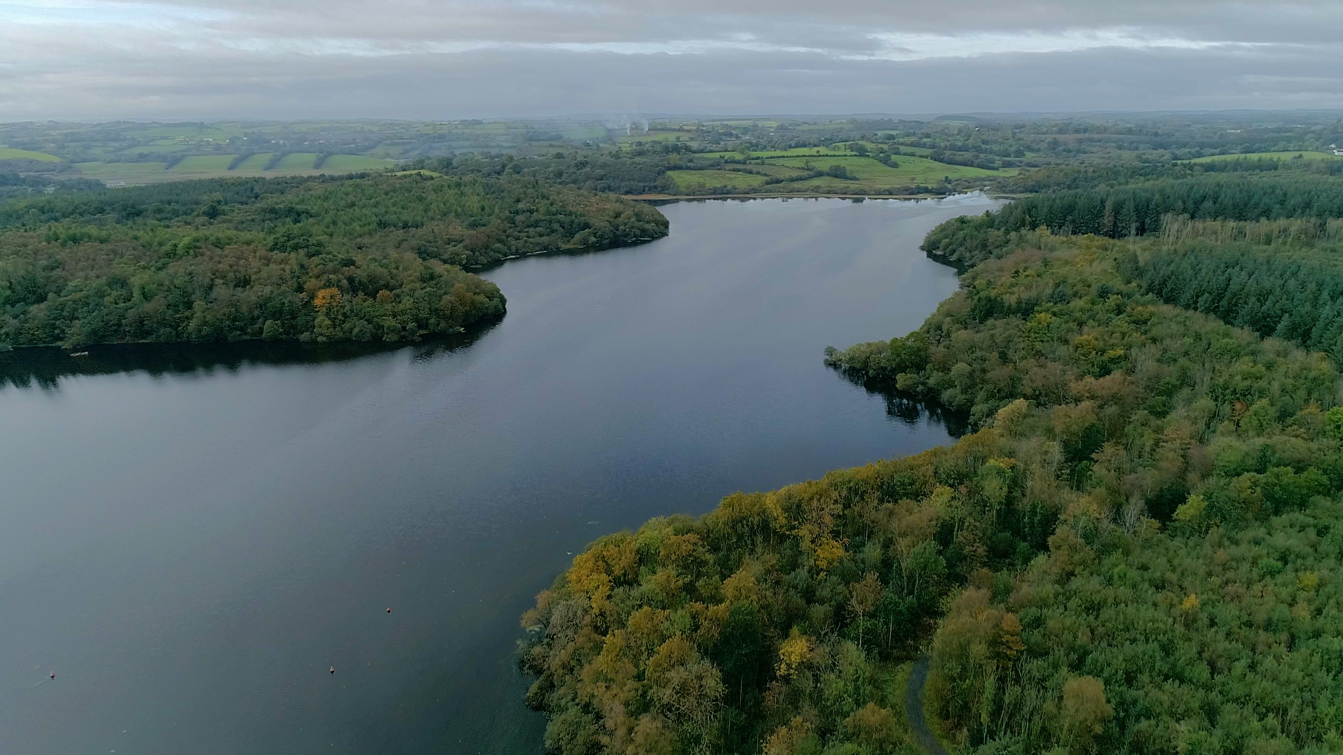
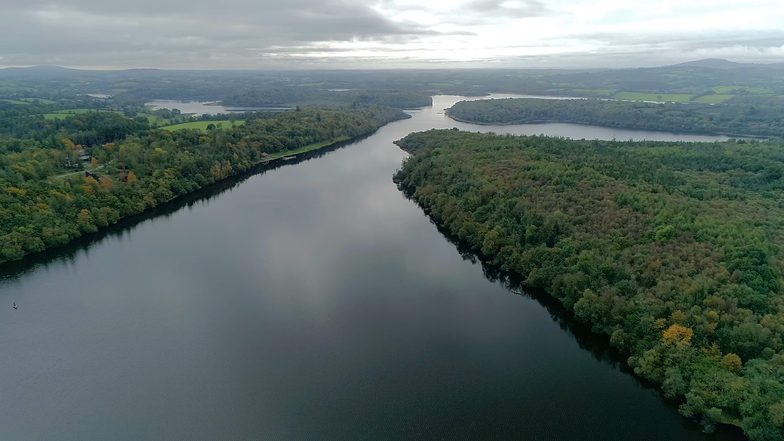
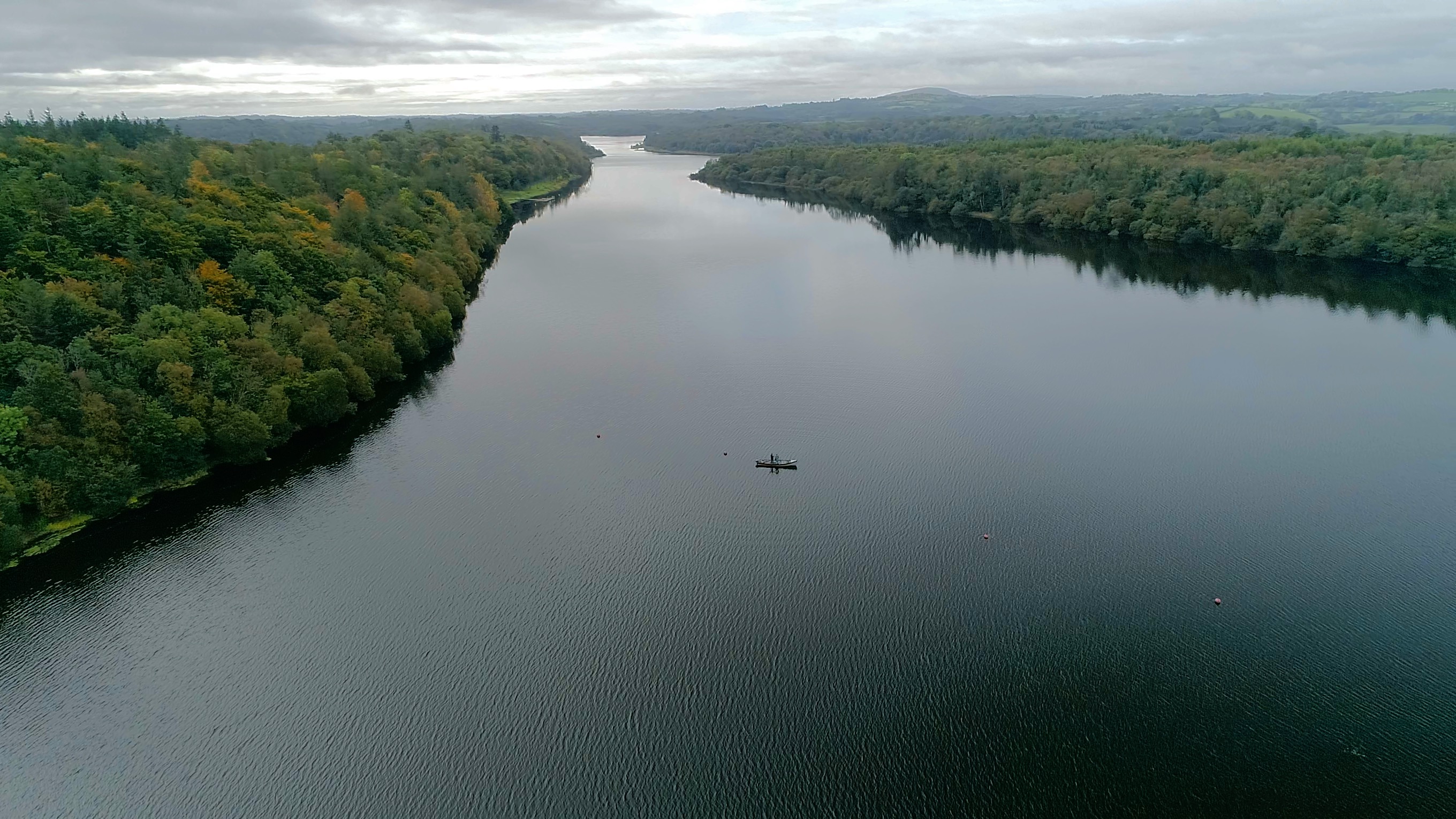
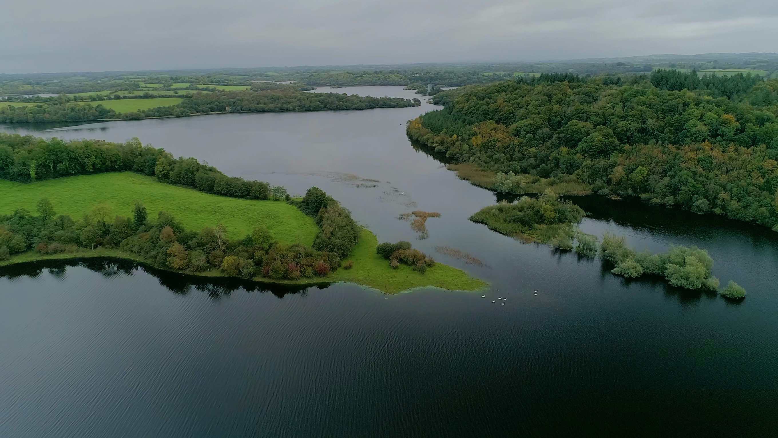
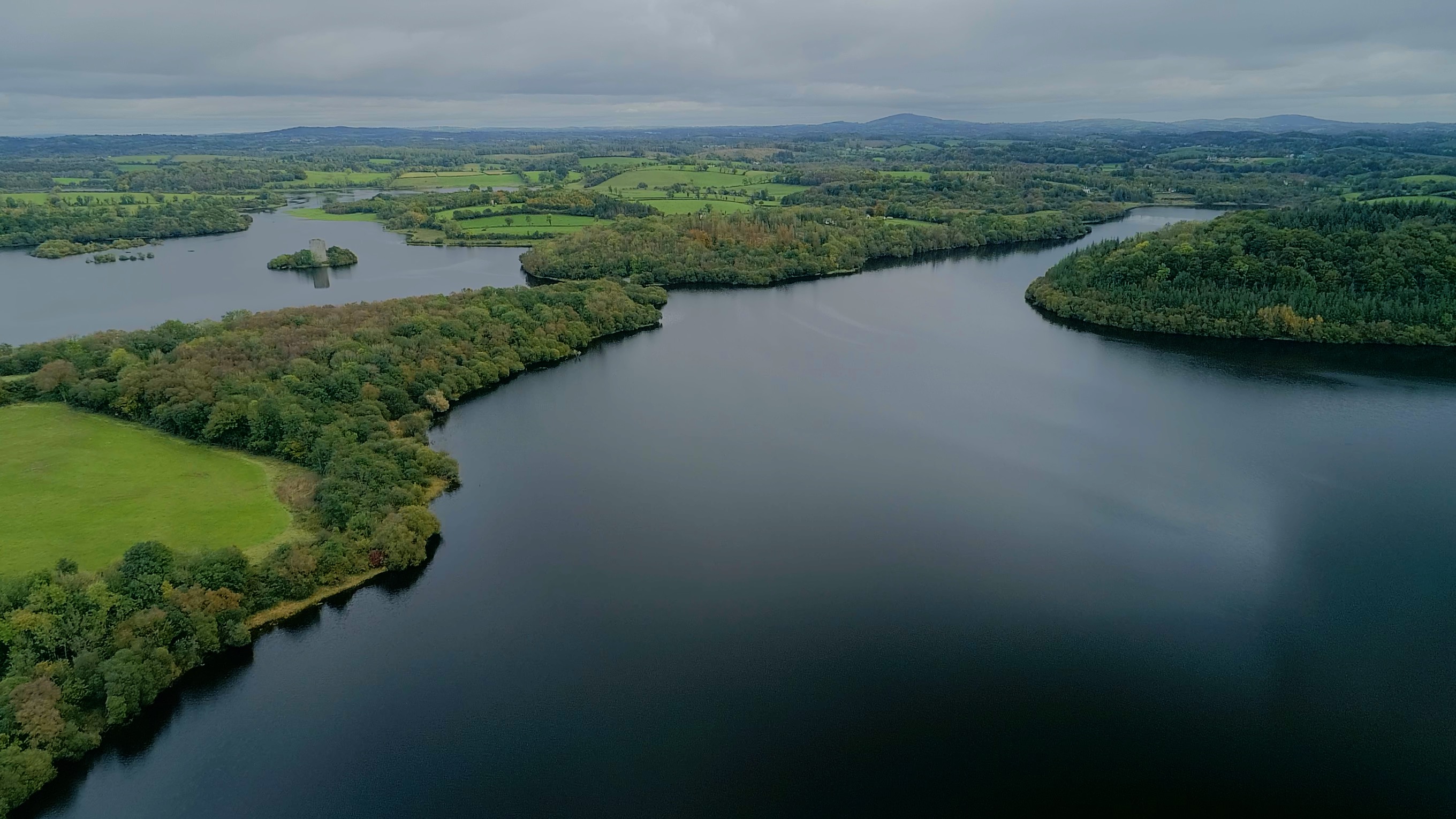
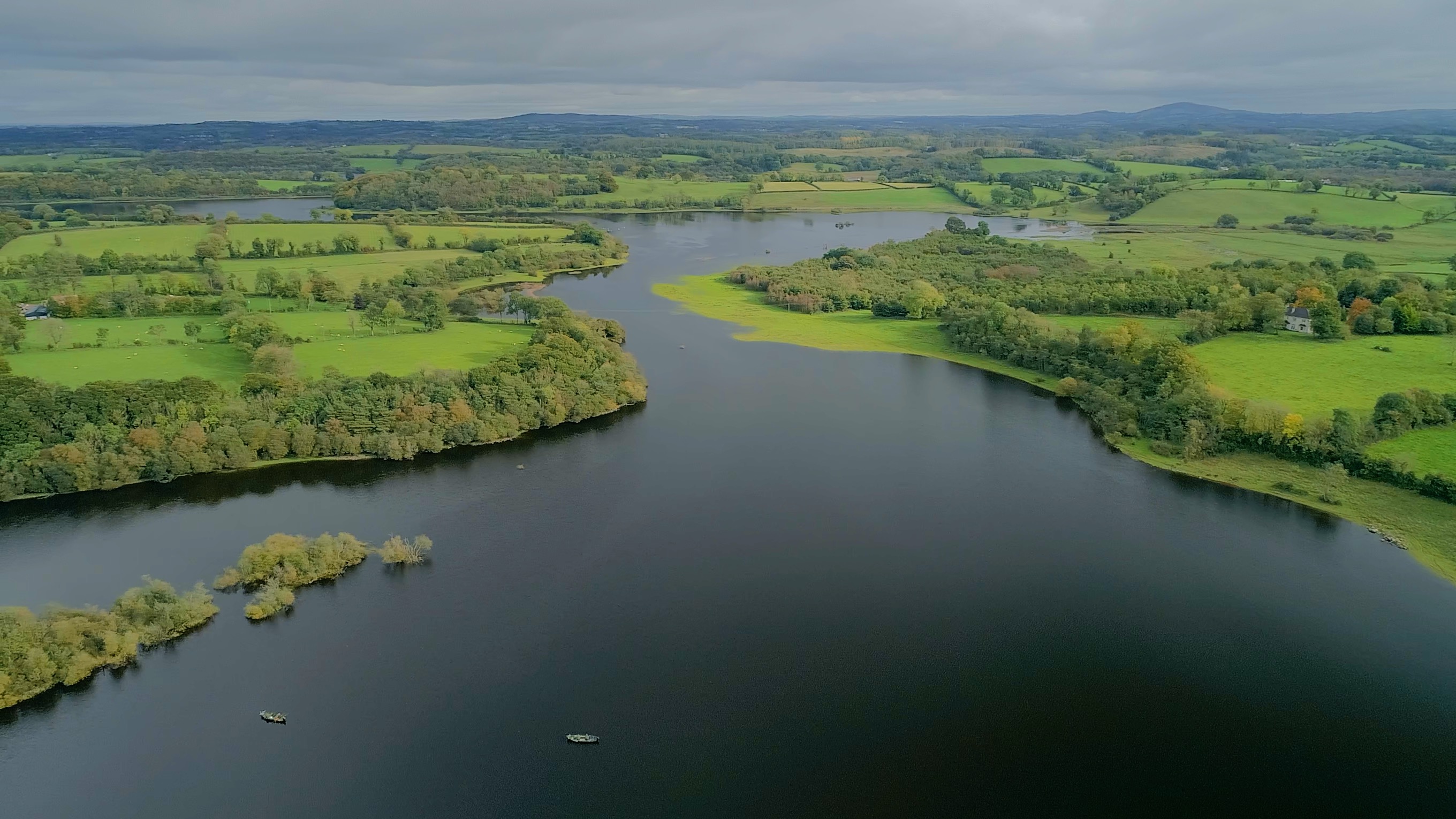
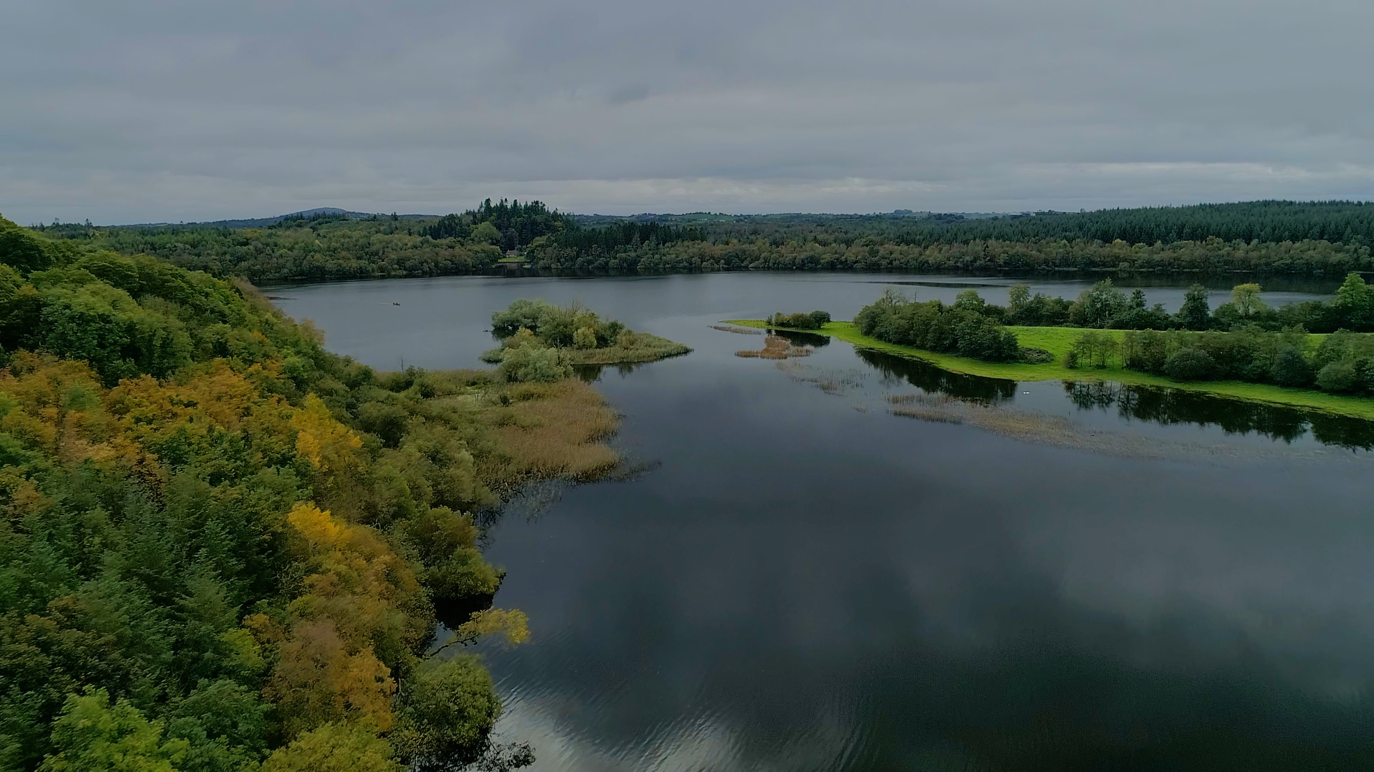
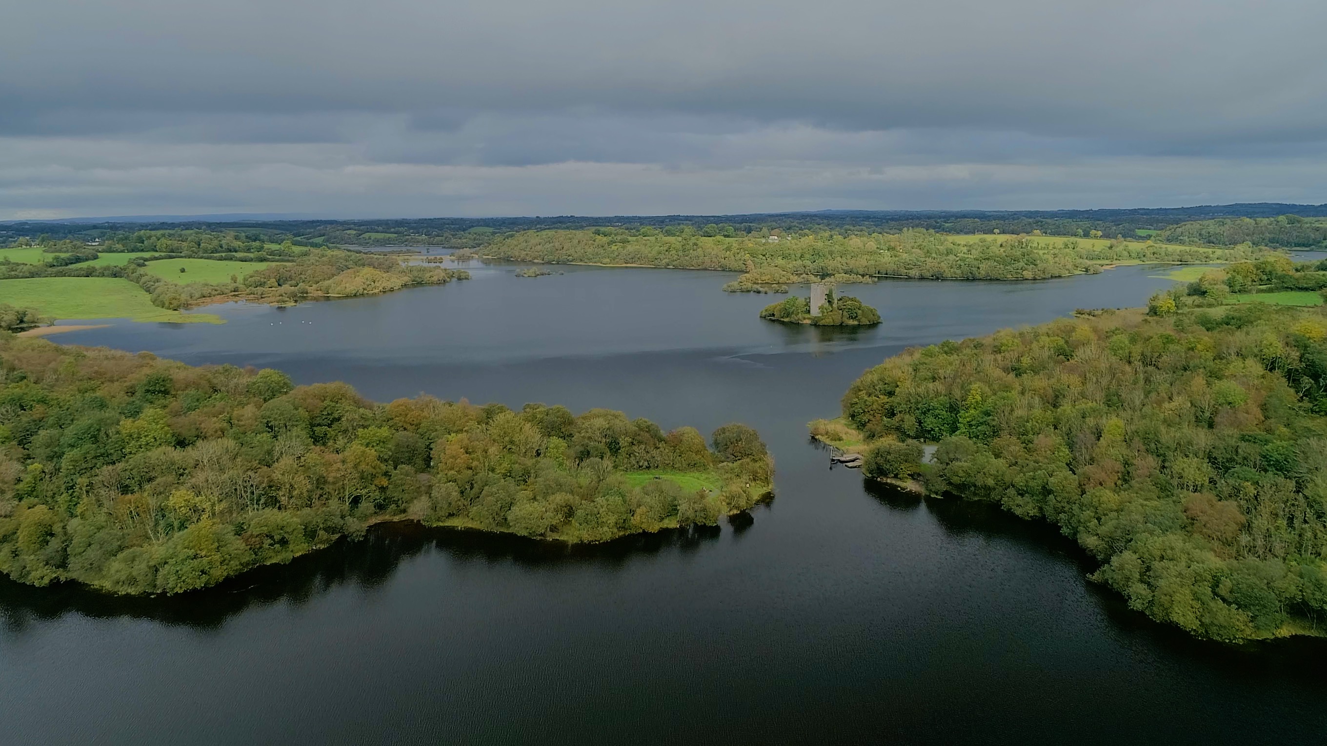
The Site comprises Lough Oughter, a large lake, along with a maze of waterways, islands, small lakes and peninsulas. The Site as a whole is the best inland example of a flooded drumlin landscape in Ireland and has many rich and varied biological communities. Nowhere else in the country does such an intimate mixture of land and water occur over a comparable area. Lough Oughter is relatively shallow and considered to be a naturally eutrophic system. The extensive network of waterways feeds a range of marsh, fen, reed swamp, wet woodland, wet grassland and scrub. The Site is important for wintering whooper swan (Cygnus cygnus), great crested grebe (Podiceps cristatus), wigeon (Anas Penelope) and tufted duck (Aythya fuligula). A small colony of common tern (Sterna hirundo) breeds there. Historically the Site was important for greenland white-fronted goose; however there have been few recordings in recent decades. Lough Oughter is a popular coarse fishing venue with good stocks of bream, roach, perch and pike. It is also important for other tourism activities such as watersports. Threats to the Site include flooding, invasive species and livestock farming activities.
Administrative region
National legal designation
- Wildfowl Sanctuary - Lough Oughter Group
Regional (international) legal designations
- EU Natura 2000