Dundalk Bay
- Country:
- Ireland
- Site number:
- 834
- Area:
- 4,768.0 ha
- Designation date:
- 07-06-1996
- Coordinates:
- 53°57'14"N 06°20'07"W
Map
Photos
Overview
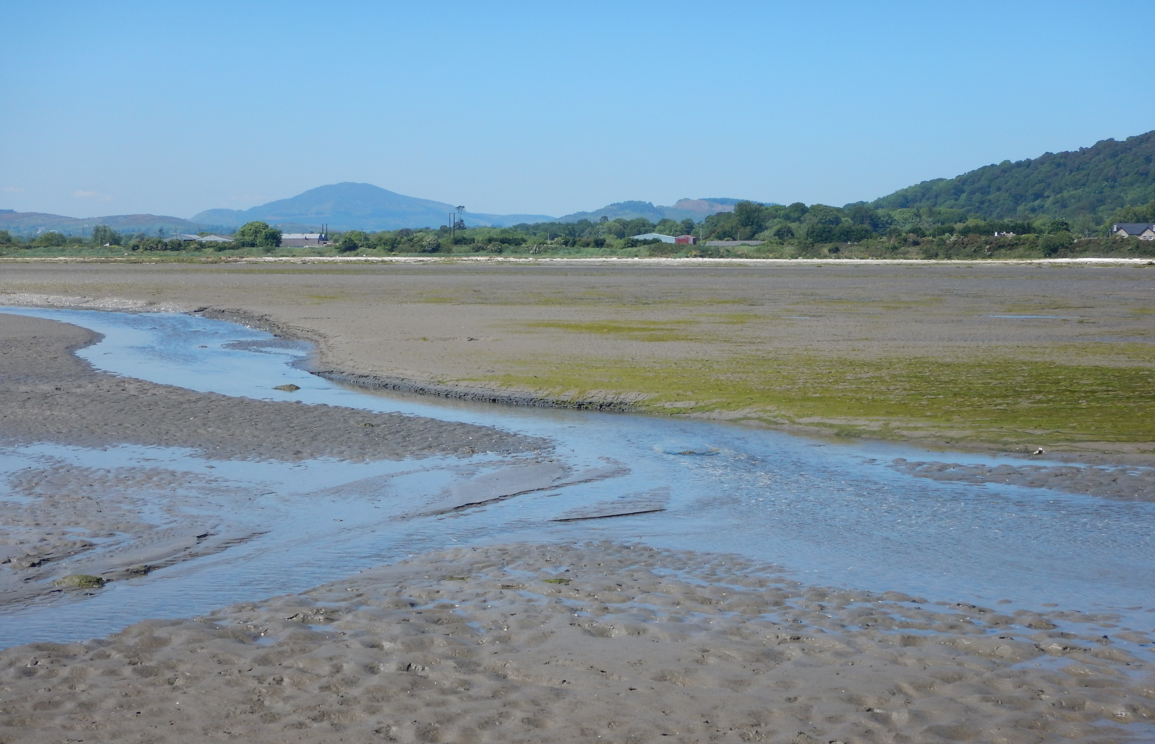
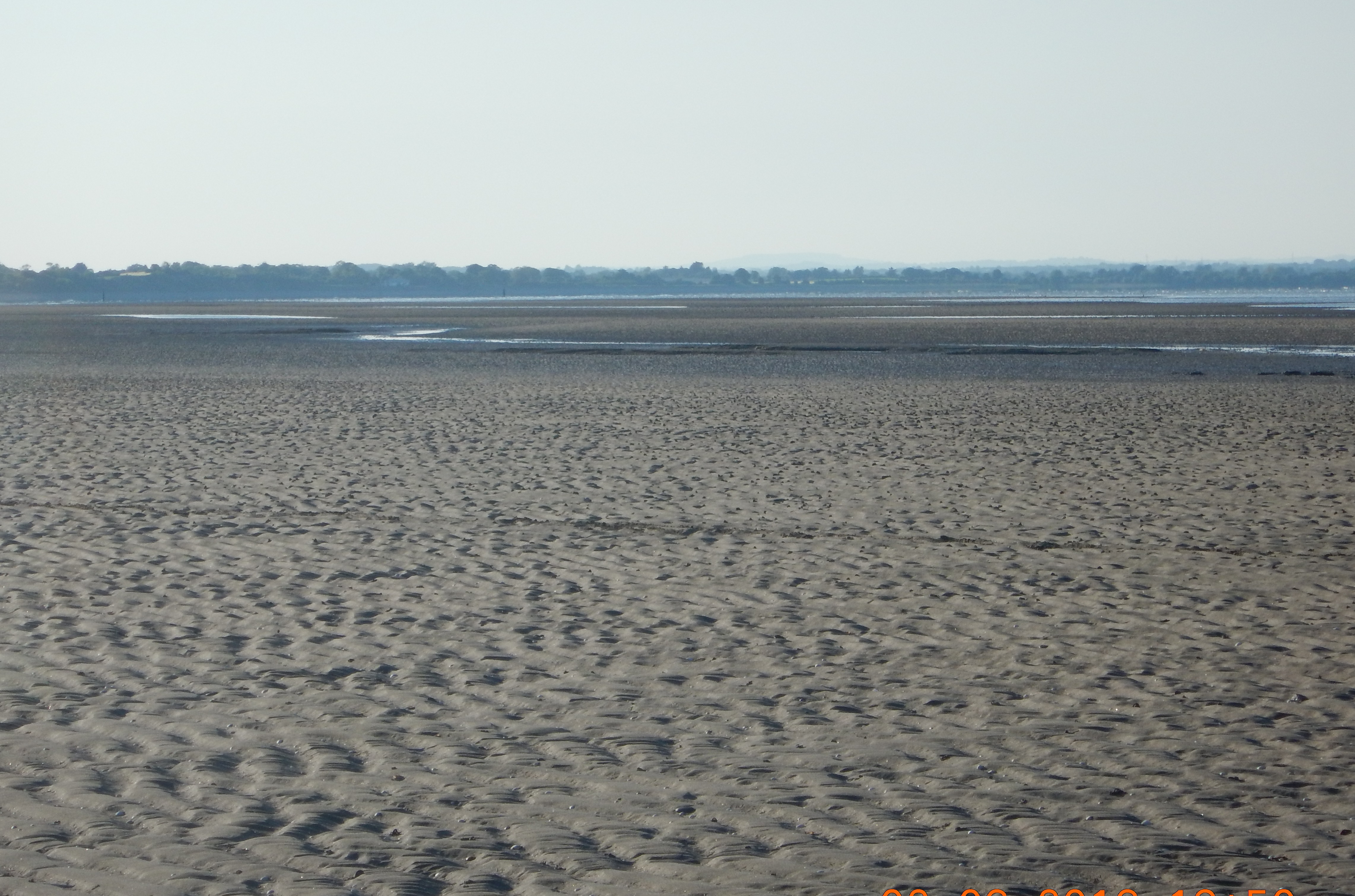
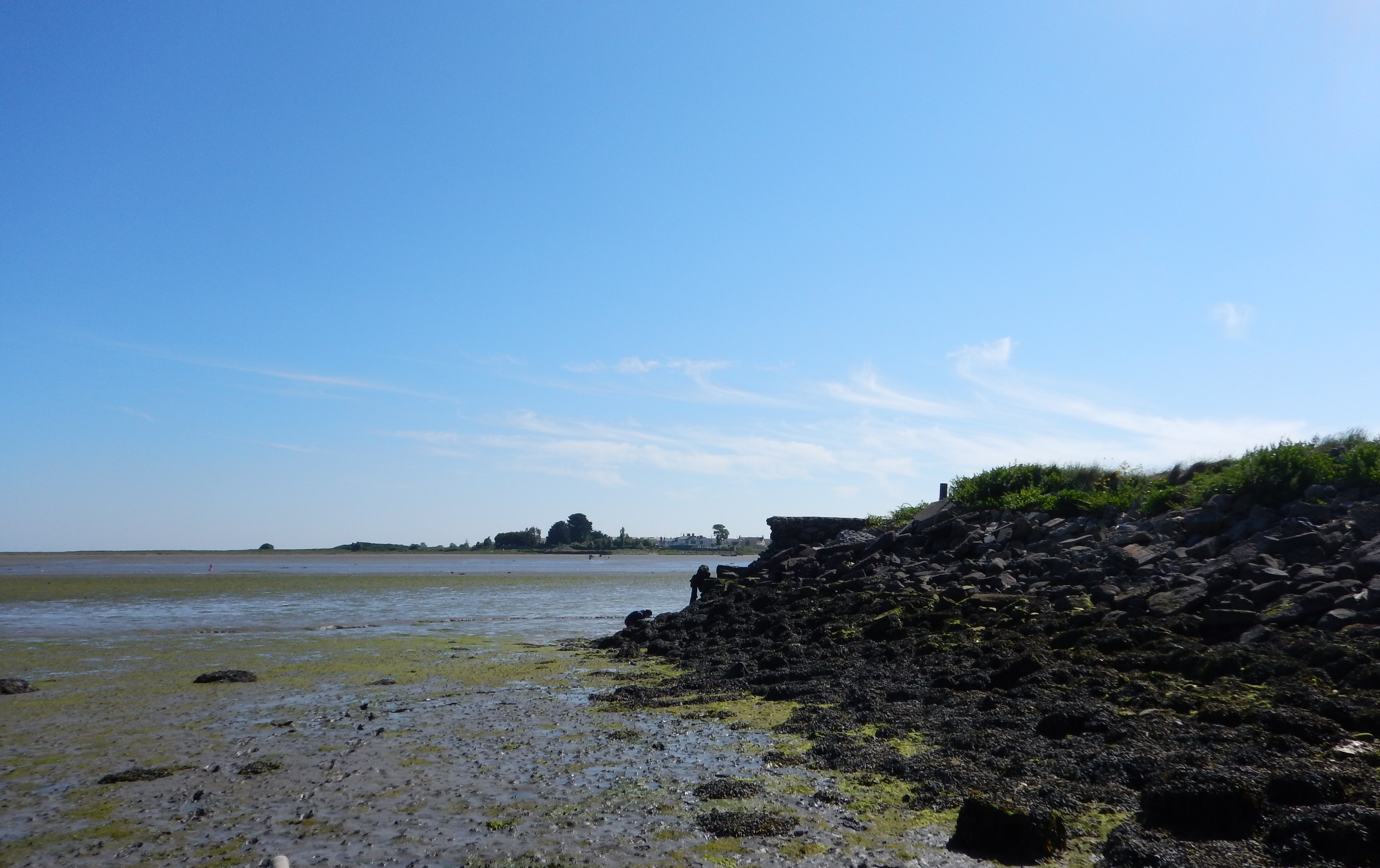
A characteristic example of a marine and coastal wetland, this open sea bay includes sand and shingle shores, extensive saltmarshes, eelgrass beds, intertidal sand and mud flats encompassing the estuaries of the rivers. The intertidal flats support a rich fauna of bivalve molluscs, marine worms and crustaceans. These are the main food source for tens of thousands of birds, predominantly waders, gulls and waterfowl: the Site regularly hosts more than 50,000 wintering waterbirds, the largest concentration on Ireland’s east coast. The saltmarshes provide important habitat for waterbirds to build high-tide roosts. The Site supports more than one percent of the Northwest European/East Atlantic Flyway populations of the protected black-tailed godwit (Limosa limosa). The Site is important for erosion protection and flood control and a popular area for recreation. Dredging for cockles (Cerastoderma edule) poses a threat, especially to benthic habitats.
Administrative region
National legal designation
- Bird Sanctuary - Ballymascanlan Estuary Wildfowl Sanctuary
- Bird Sanctuary - Lurgan Green Wildfowl Sanctuary
Regional (international) legal designations
- EU Natura 2000