Orange River Mouth
- Country:
- Namibia
- Site number:
- 744
- Area:
- 500.0 ha
- Designation date:
- 23-08-1995
- Coordinates:
- 28°40'S 16°30'E
Map
Photos
Overview
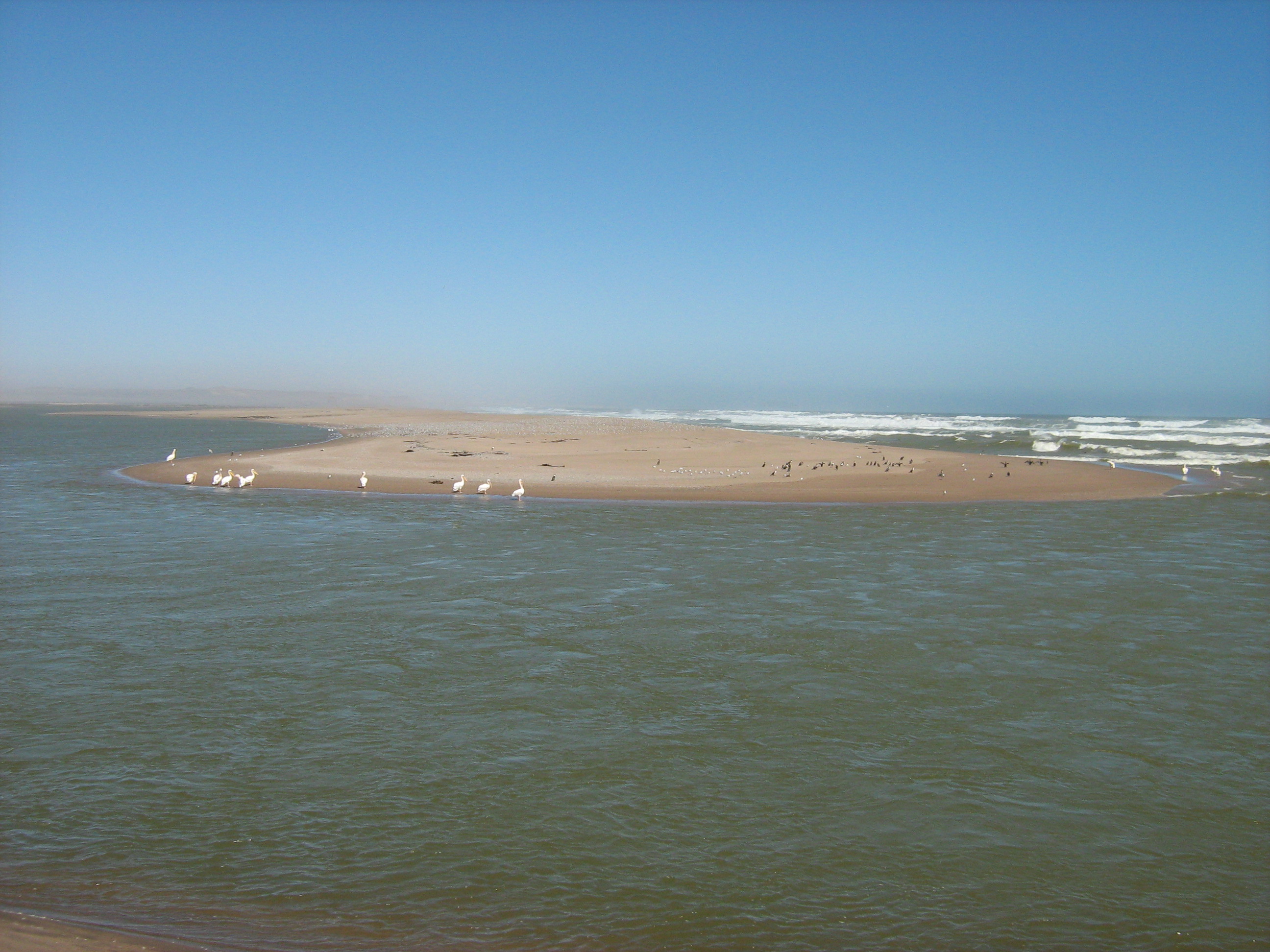
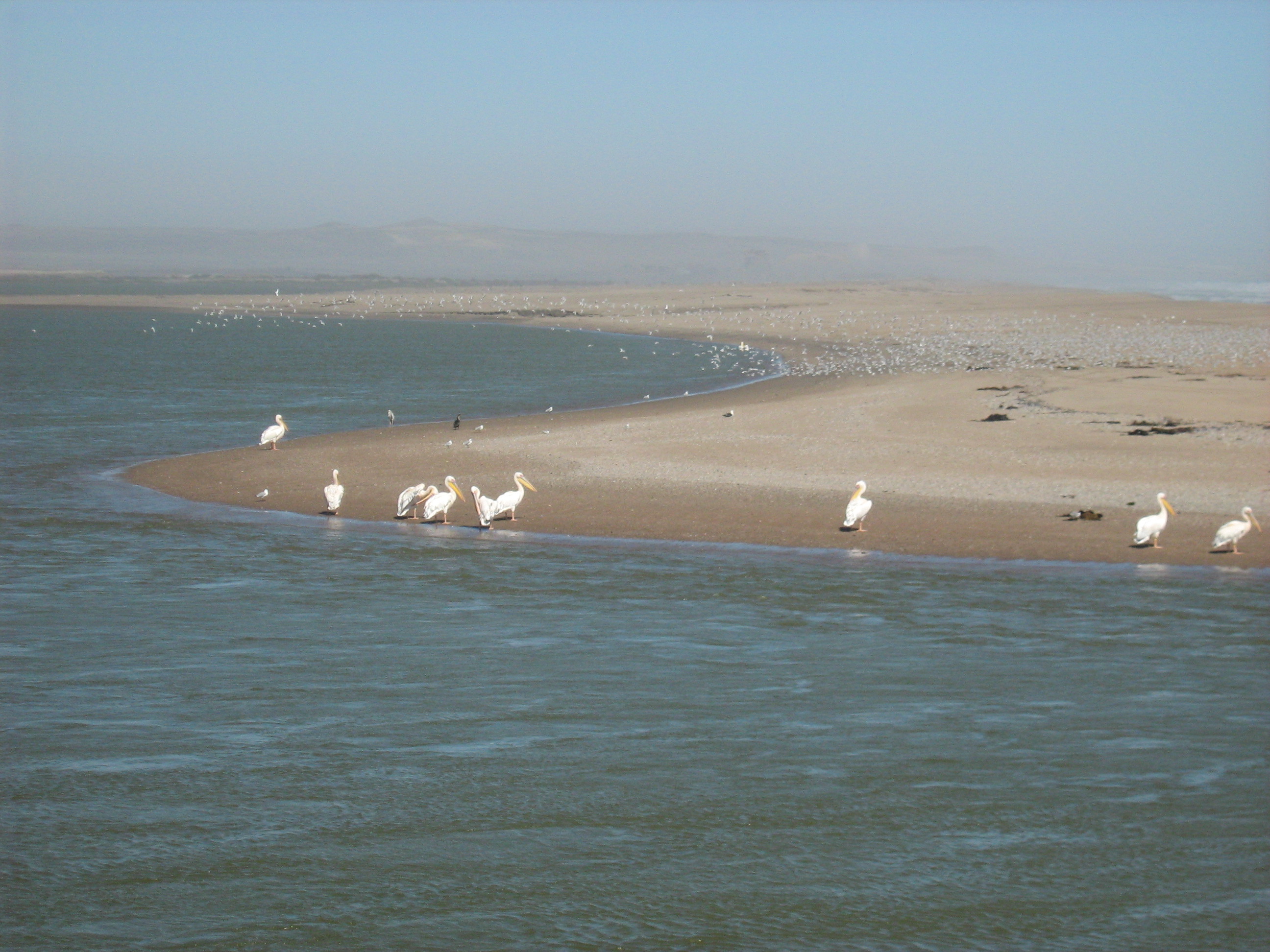
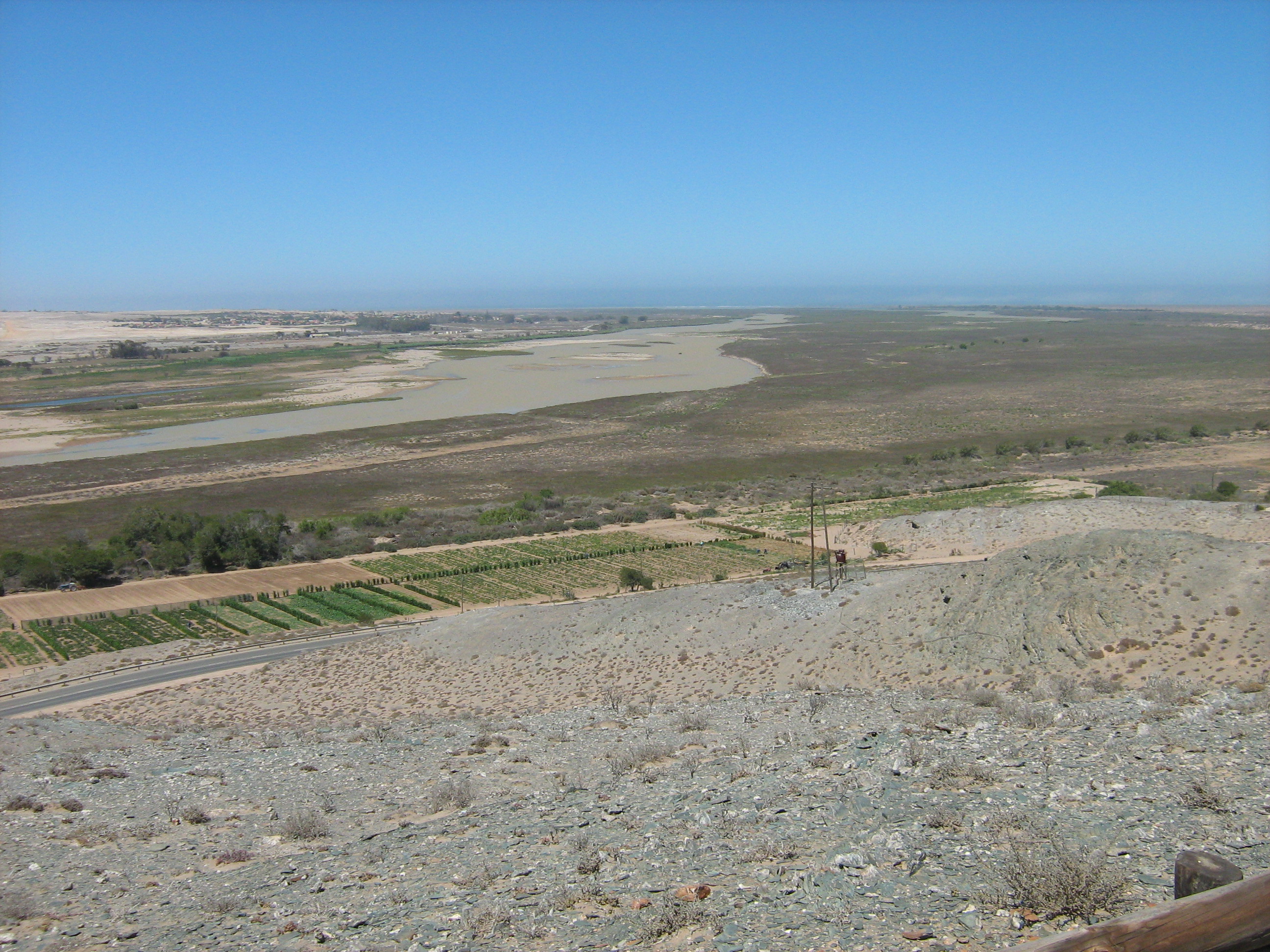
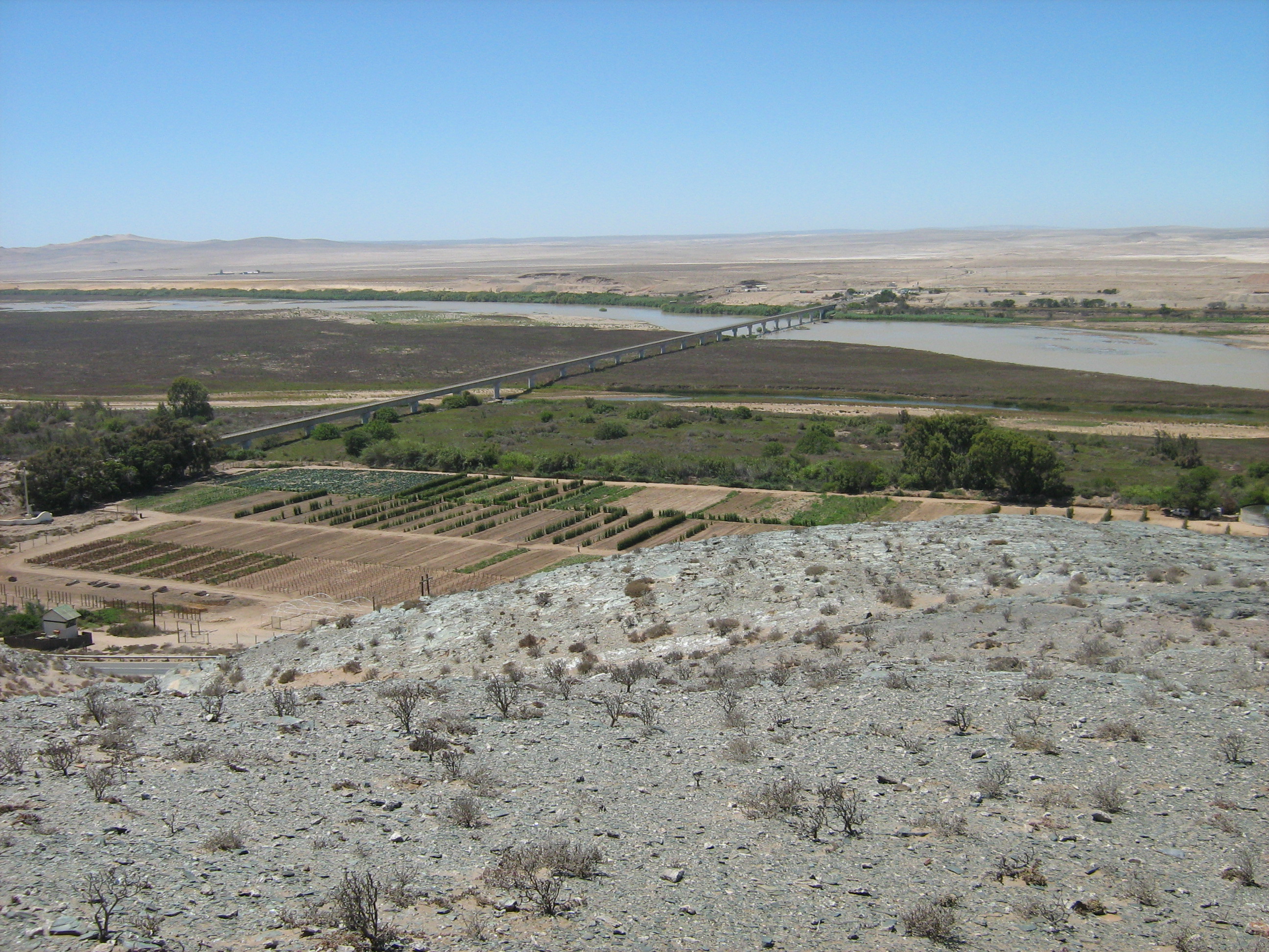
Orange River Mouth. 23/08/95; 500 ha; 28°40'S 016°30'E. Transborder site with South Africa. The sole perennial river in the region, it forms a linear oasis (floodplain) of islands and sand bars through an arid region. The site provides habitat for a variety of endemic plants and during the summer is the sixth richest wetland in southern Africa, in terms of bird numbers supported. The abundance of three species exceed 1% of their respective global populations. Restricted recreation takes place within the park. In surrounding areas, activities include diamond mining, irrigation, and large-scale water abstraction. Ramsar site no. 744. Most recent RIS information: 1995.
Administrative region
Karas Region
National legal designation
- National Park - Sperrgebiet National Park
Last publication date:
23-08-1995
Download
Ramsar Information Sheet (RIS)
- NA744RIS.pdf
- NA744_map161011.jpg
- NA744_map161011_1.jpg
- NA744_map161011_2.jpg