Caryapundy Swamp
- Country:
- Australia
- Site number:
- 2520
- Area:
- 70,176.2 ha
- Designation date:
- 17-12-2021
- Coordinates:
- 29°15'29"S 142°31'39"E
Map
Photos
Overview
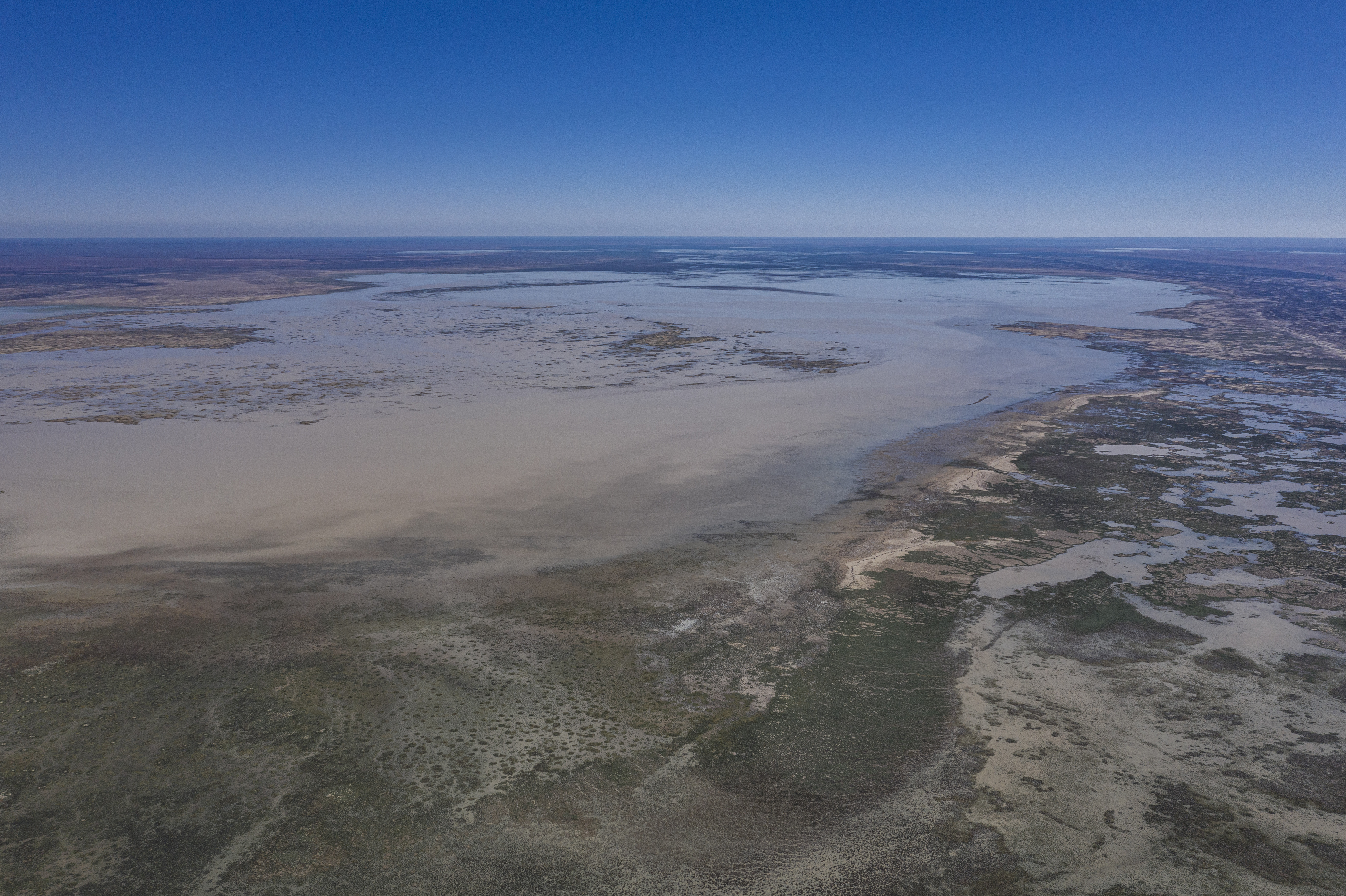
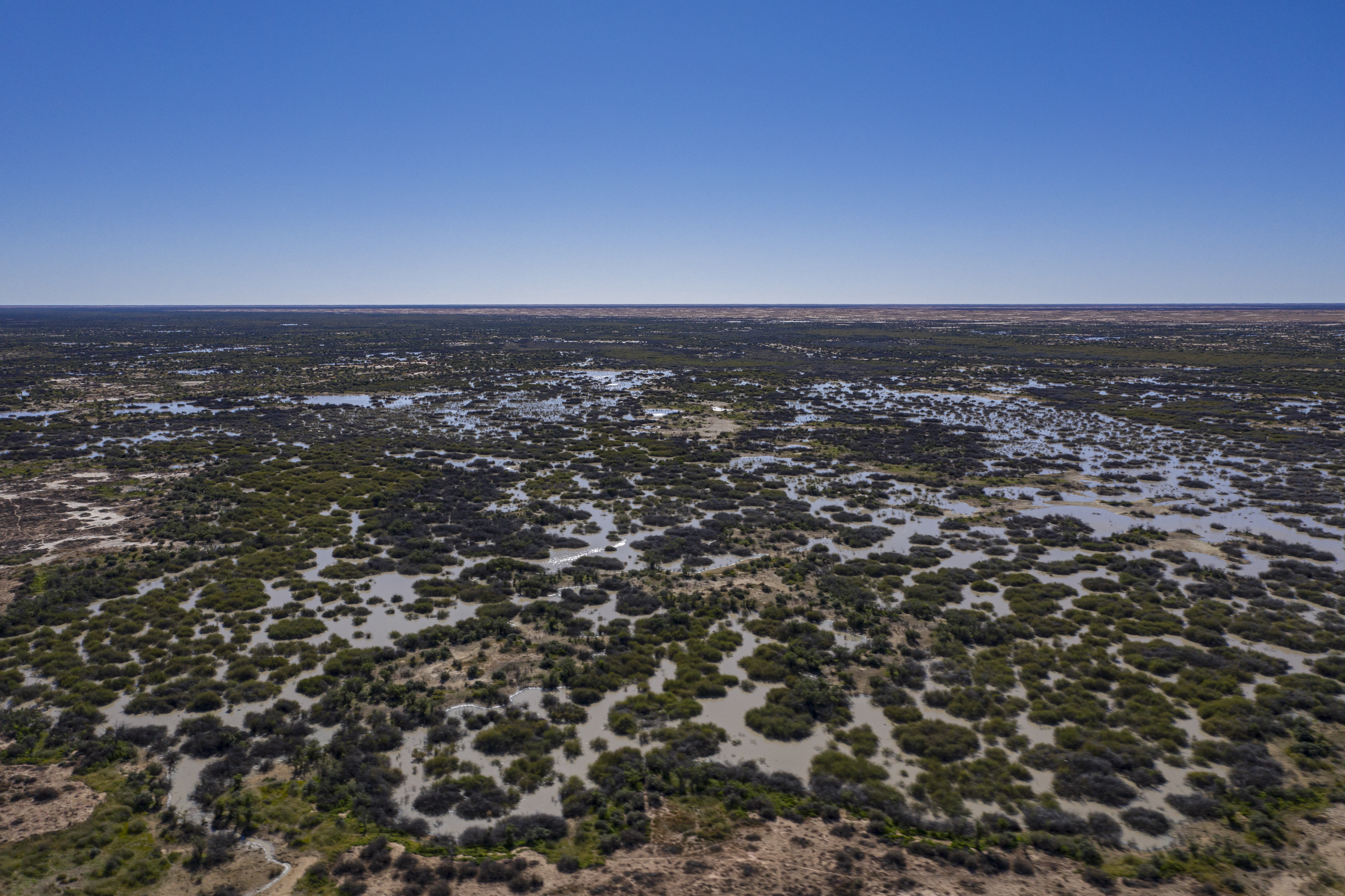
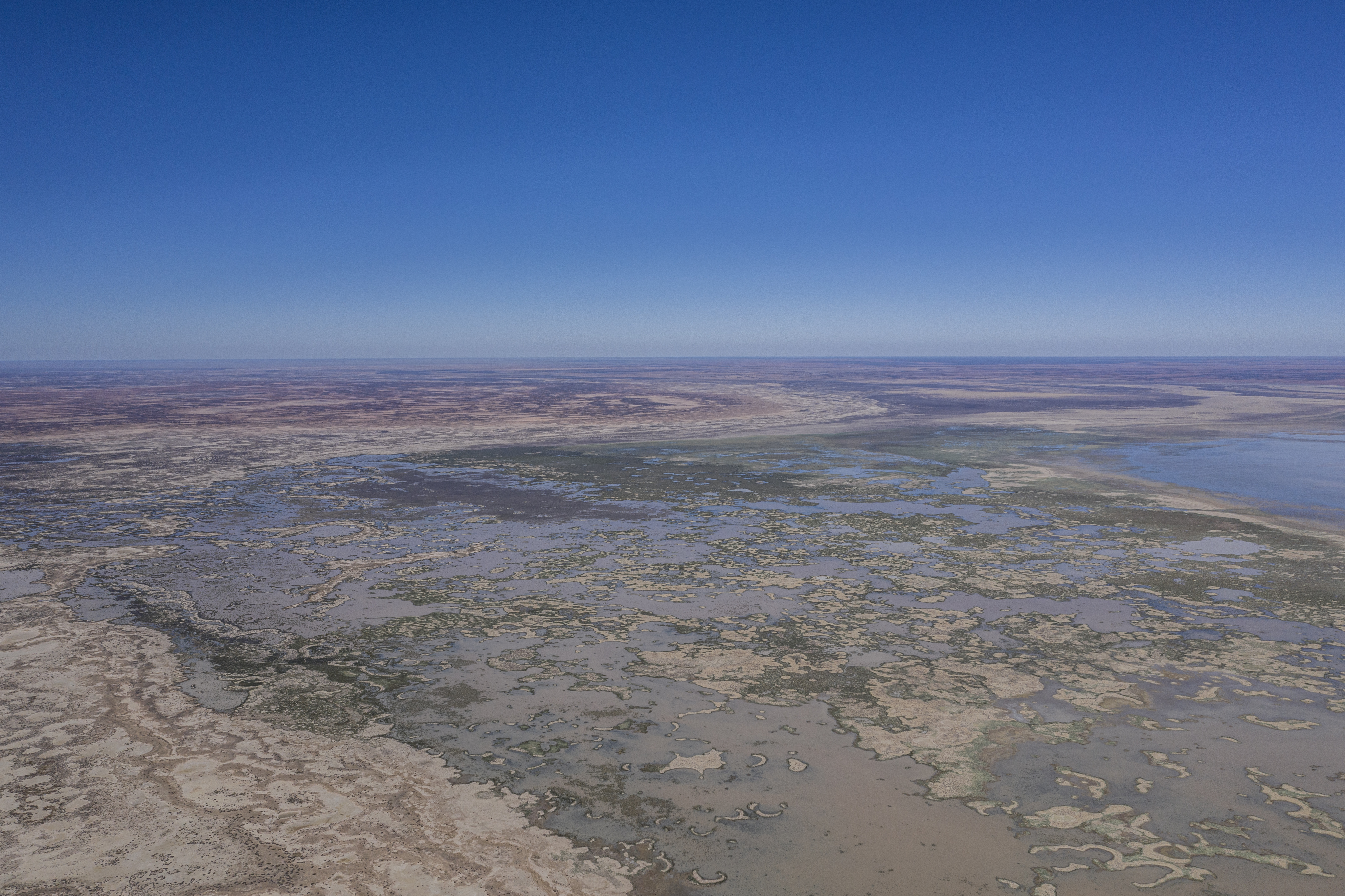
The Site lies within the Narriearra Caryapundy Swamp National Park, in the remote “corner country” of far north-western New South Wales. It forms a large area of the terminal basin of the Bulloo River, comprising extensive and diverse temporary wetlands, floodplains and creeks. Due to extreme climatic variability, the temporary wetlands face long dry periods and erratic floods, which are critical in determining its water quality and biodiversity distribution. At least 118 native animal species are found, including 100 birds, four mammals and 11 reptiles. During floods, the Site supports large numbers of waterbirds from at least 38 species and provide refuge to other animals when other wetlands in the region are dry, making it an important conservation area in the arid zone of Australia. Vegetated swamps offer critical foraging and breeding habitat for the grey grasswren (Amytornis barbatus barbatus) and other waterbirds. There are a few threatened species, including the grey falcon (Falco hypoleucos) and plains wanderer (Pedionomus torquatus). Other international migrants such as Caspian term (Hydroprogne caspia) and ruddy turnstone (Arenaria interpres), which traverse the East Asian-Australasian flyway, are also found. The threats facing the Site are mainly related to invasive species and climate change.
Administrative region
National legal designation
- State protected area (National Park) - Narriearra Caryapundy Swamp National Park
Last publication date:
Download
Ramsar Information Sheet (RIS)
- AU2520RIS_2304_en.pdf
- AU2520_map220712.pdf
- AU2520_ECD211222.pdf
- AU2520_mgt211222.docx