Nanthar Island and Mayyu Estuary
- Country:
- Myanmar
- Site number:
- 2421
- Area:
- 3,608.0 ha
- Designation date:
- 22-05-2020
- Coordinates:
- 20°15'23"N 92°45'24"E
Map
Photos
.JPG)
.JPG)
Overview
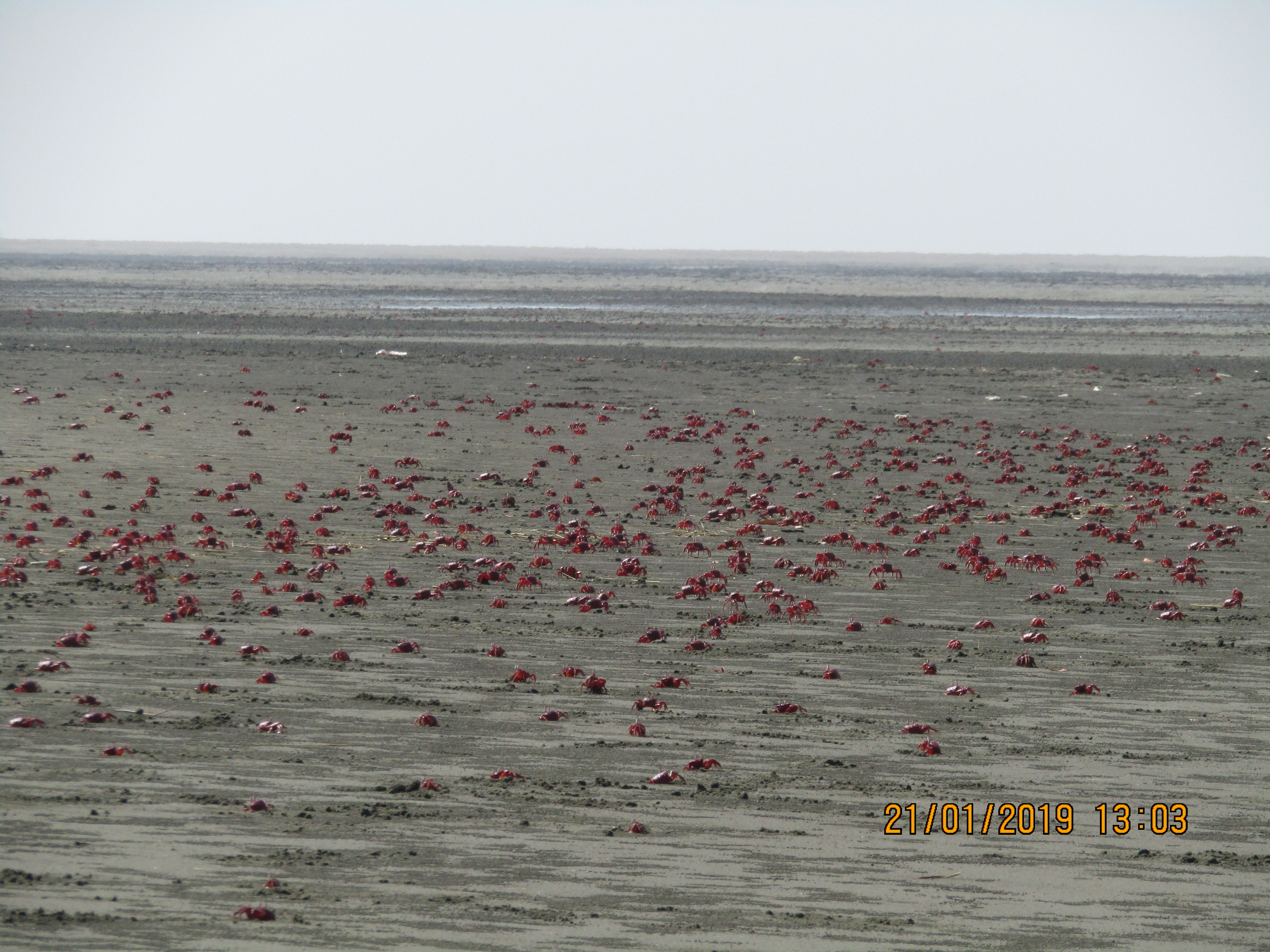
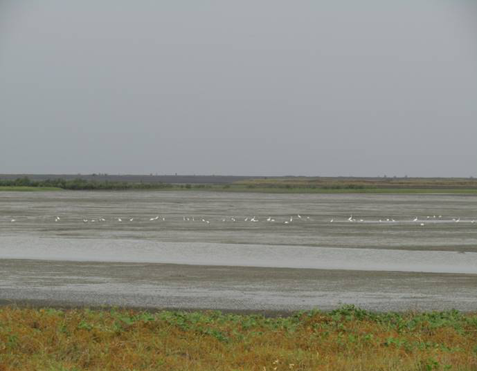
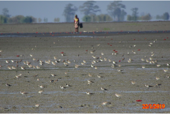
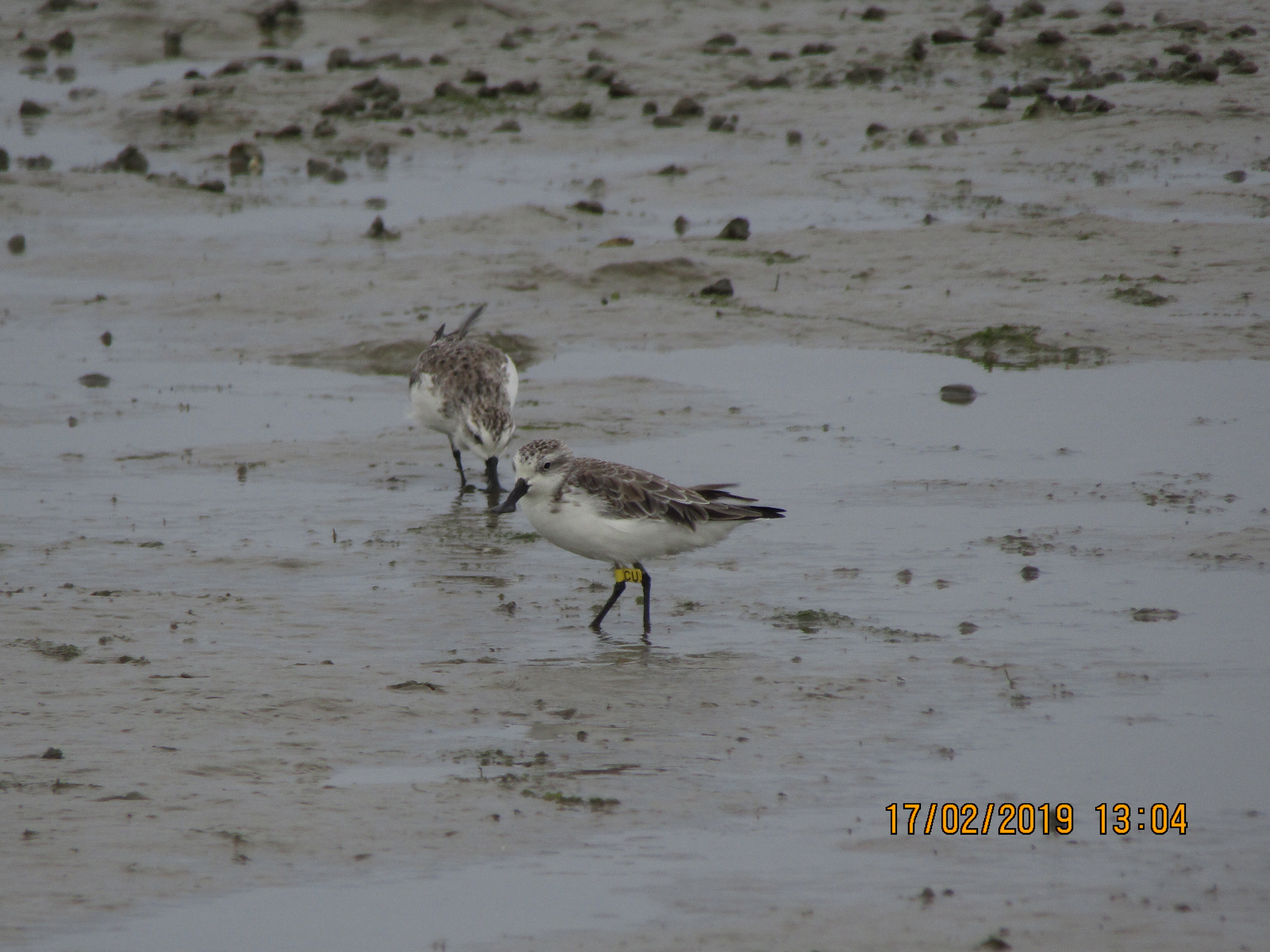
Nanthar Island and Mayyu Estuary is on the western coast of Myanmar within Rakhine State. This coastal environment includes estuarine and shallow marine waters, rocky shores and mangrove forest. Upwelling in the Bay of Bengal contributes to the Site’s productive marine ecosystem. It is one of the last refuges of the critically endangered spoon-billed sandpiper (Calidris pygmaea), with over 5% of the remaining global population reported annually. Other threatened species include the endangered green turtle (Chelonia mydas) and the vulnerable olive ridley (Lepidochelys olivacea) and leatherback turtles (Dermochelys coriacea), all of which are known to nest within the Site. Aquaculture activities undertaken within the Site contribute to the livelihoods of local communities. Threats include pollution, hunting and the collection of wild terrestrial and marine animals. Rakhine State Forest Department and the National Department of Fisheries manage the Site.
Administrative region
National legal designation
- Proposed Marine National Park - Nanthar Marine National Park
Regional (international) legal designations
- Other international designation
Last publication date:
Download
Ramsar Information Sheet (RIS)
- MM2421RIS_2005_en.pdf
- MM2421_map200324.jpg