Assifs Ahançal-Melloul
- Country:
- Morocco
- Site number:
- 2378
- Area:
- 1,385.0 ha
- Designation date:
- 22-05-2019
- Coordinates:
- 31°59'55"N 06°07'54"W
Map
Photos
.JPG)
.JPG)
.JPG)
.JPG)
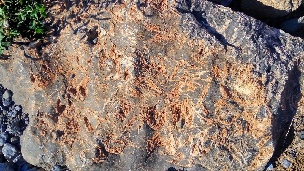
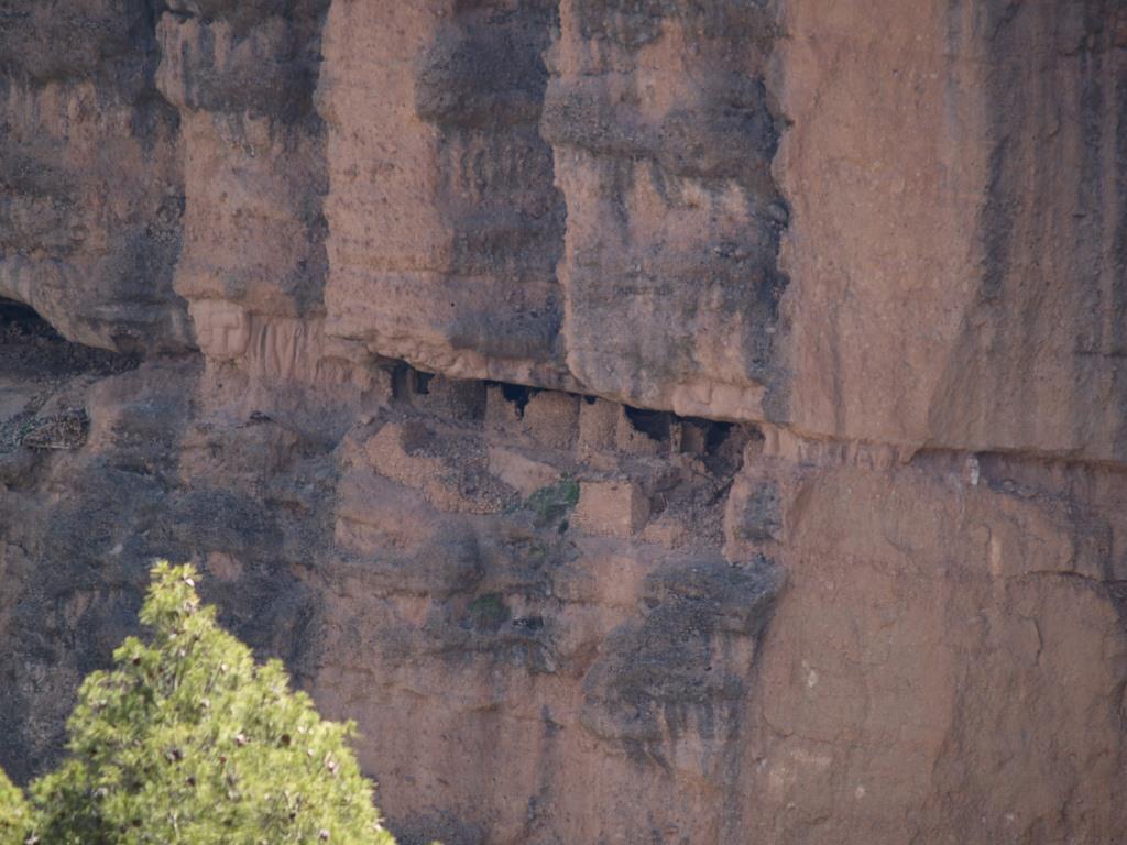
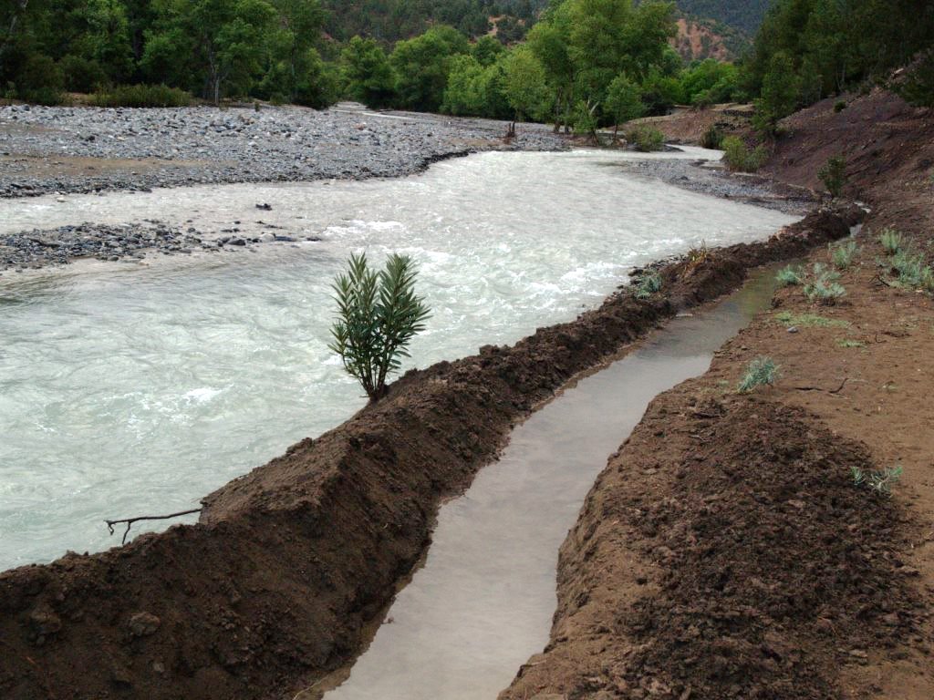
Overview
The Site comprises the rivers (wadis) of Ahançal and Melloul, between 800 and 2,000 metres altitude in the the Central High Altas. The wadis have dug very deep valleys, overlooked by mountains of up to 4,000 metres in height. The Ramsar Site follows the course of these wadis and the adjacent rocky escarpments covered by forest or scrub. Beyond lie flatter orchards and fields, irrigated in a traditional way. The rivers are fed by several temporary tributaries and spring waters, and snowmelt in early spring, and so enjoy permanent flow which is relatively unaffected by droughts or hydraulic developments. The Site is thus one of the few remaining near-natural free-flowing mountain river ecosystems in the Maghreb. It contributes to the preservation of at least two endemic or threatened species, the Atlas barbel (Luciobarbus ksibi) and the Barbary macaque (Macaca sylvanus). The Site also hosts wintering ground birds such as the meadow pipit (Anthus pratensis). In addition to their ecological value, these habitats offer landscapes of great rarity in North Africa. Local communities have developed traditional knowledge related to the management of this wetland. The wadis are slightly impacted by livestock watering; other human activities, such as agriculture, tourism, and fisheries, could affect the ecological character of the Site. A development and management plan, which includes some conservation measures, is being implemented.
Administrative region
Global international designation
- Other global designation
National legal designation
- Site d'Intérêt Biologique et Écologique - Zone de Tamga (cours moyen)
Last publication date:
Download
Ramsar Information Sheet (RIS)
- MA2378RIS_1907_fr.pdf
- MA2378_map181208.jpg
- MA2378_taxo180829.docx