Haut Oued Lakhdar
- Country:
- Morocco
- Site number:
- 2372
- Area:
- 2,200.0 ha
- Designation date:
- 16-04-2019
- Coordinates:
- 31°39'29"N 06°26'15"W
Map
Photos
Overview
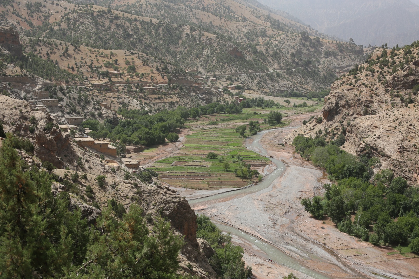
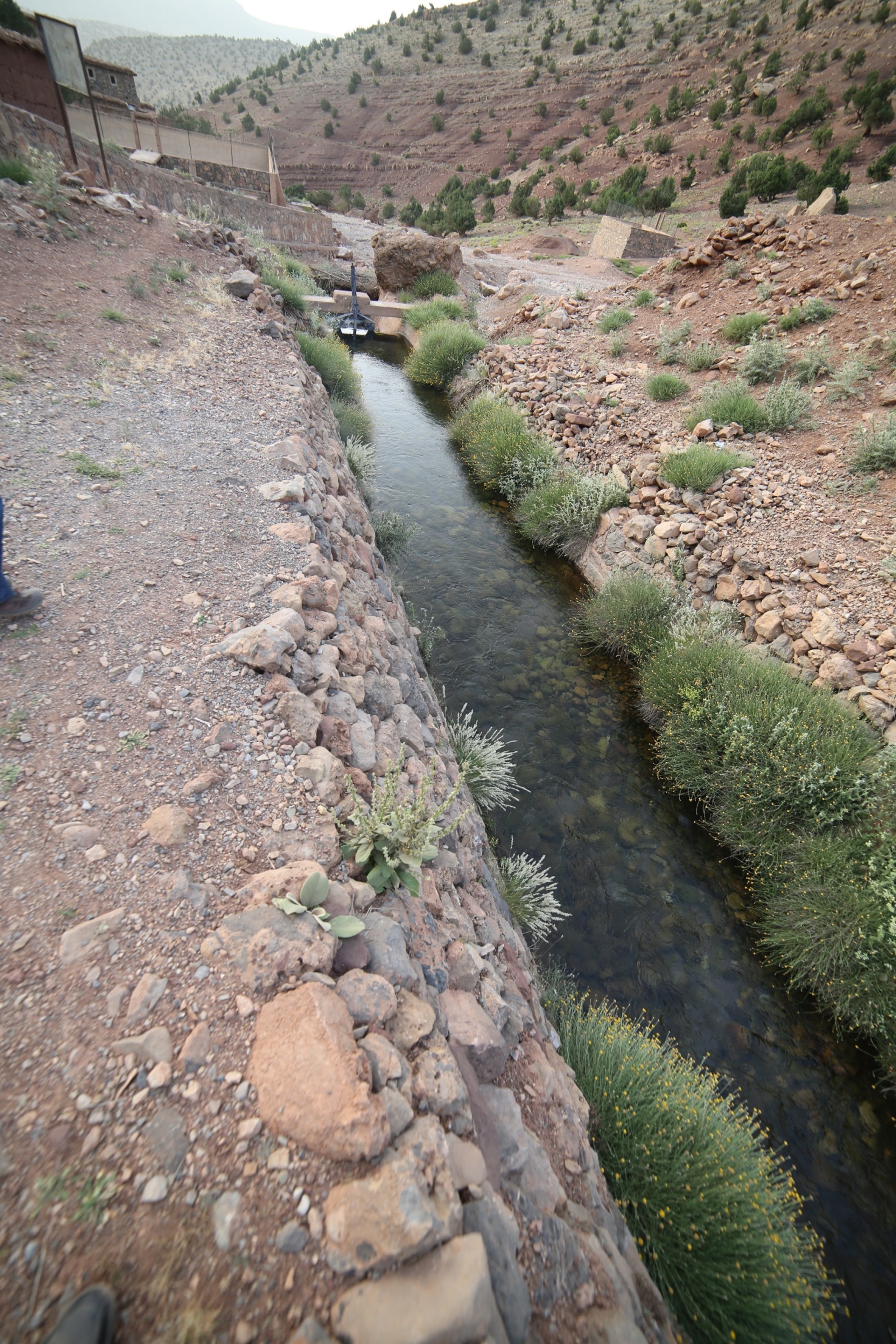
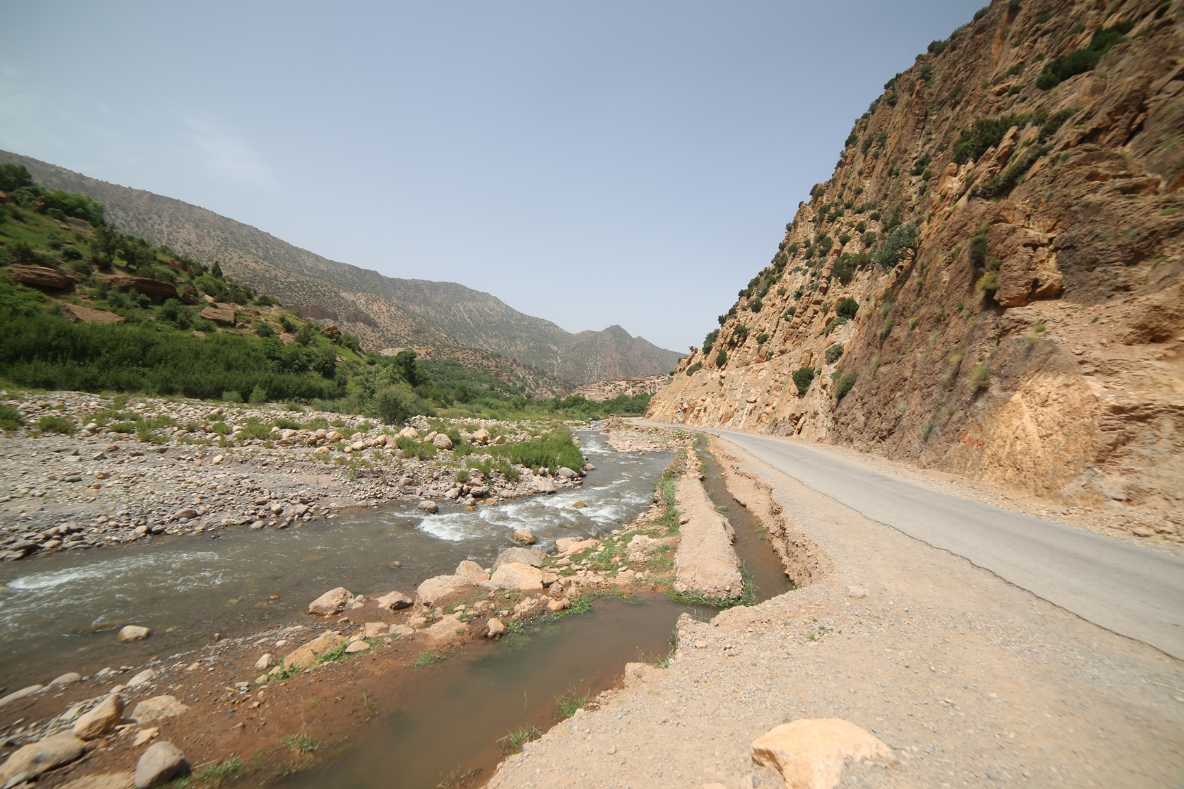
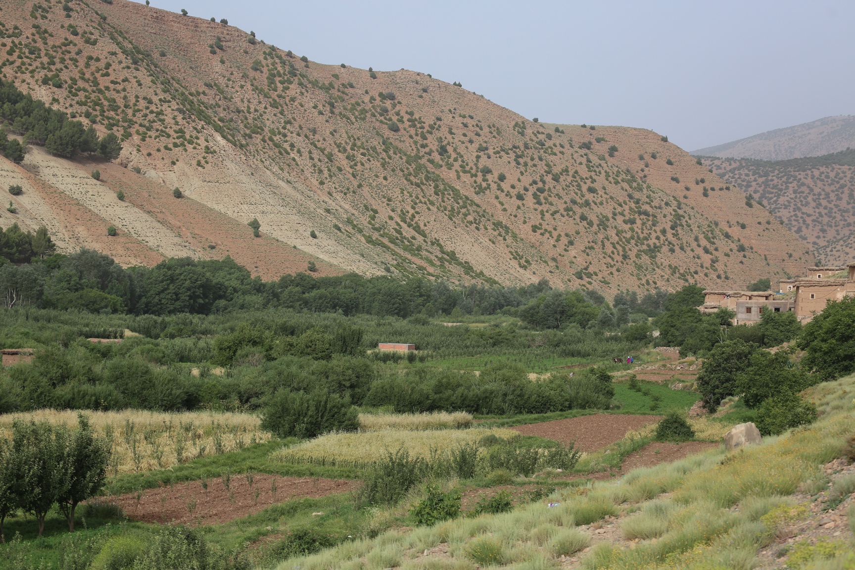
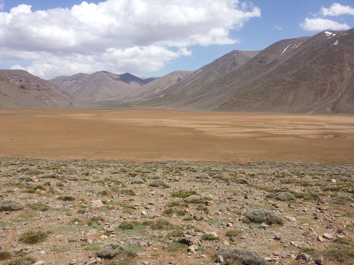
The Site includes Aït Bou Guemmaz and Aït Boualli Aifsir, two upper tributaries of the Lakhdar wadi on the northern slopes of the Central High Atlas, at or above 1,350 metres in altitude. It includes the main streams of the wadis and their springs, as well as the steep valley sides covered with forest or pre-forest vegetation. It is one of the rare permanent mountain river ecosystems in North Africa that is still in a natural or semi-natural state. The sustained water flow in summer makes the Site a biodiversity and conservation hotspot, with many species endemic to the local area or to North Africa. The valleys are marked by manually irrigated orchards and fields of cereals which rise to the upper limit of permanent water. The Site is rich with fish, reptiles, and mammals; there are endemic species such as the Atlas dwarf viper (Vipera monticola) and threatened species such as the globally vulnerable Atlas barbel (Luciobarbus ksibi) and the endangered Barbary macaque (Macaca sylvanus). The local communities have built up traditional knowledge related to water management and agro-pastoral practices. Various stakeholders manage the Site and its flood zones. It is also a Site of Biological and Ecological Interest, and almost the whole Site is integrated into the M’Goun UNESCO Global Geopark.
Administrative region
Global international designation
- World Heritage site
National legal designation
- Site d'Intérêt Biologique et Ecologique - Oued Lakhdar
Last publication date:
Download
Ramsar Information Sheet (RIS)
- MA2372RIS_1907_fr.pdf
- MA2372_map181208.jpg