Hubei Wang Lake
- Country:
- China
- Site number:
- 2349
- Area:
- 20,495.0 ha
- Designation date:
- 08-01-2018
- Coordinates:
- 29°50'37"N 115°20'E
Map
Photos
Overview
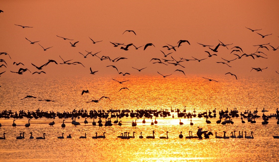
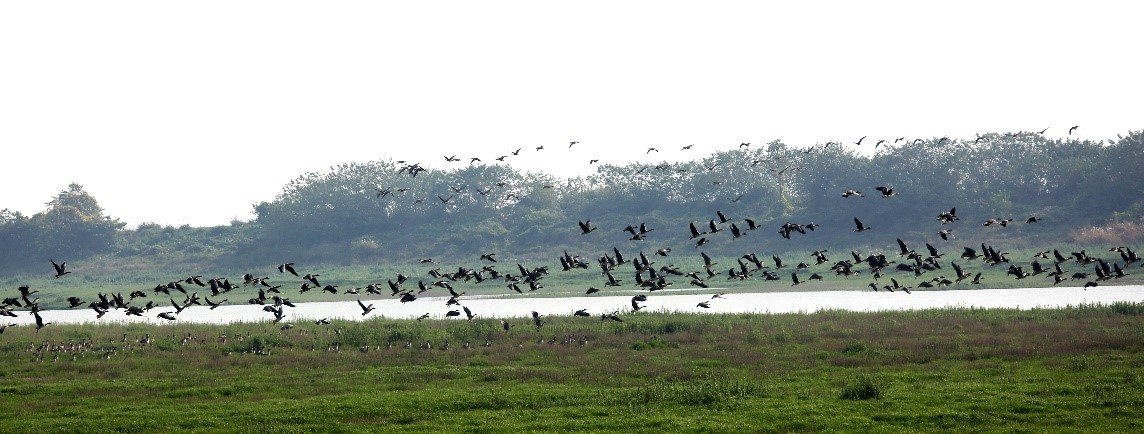
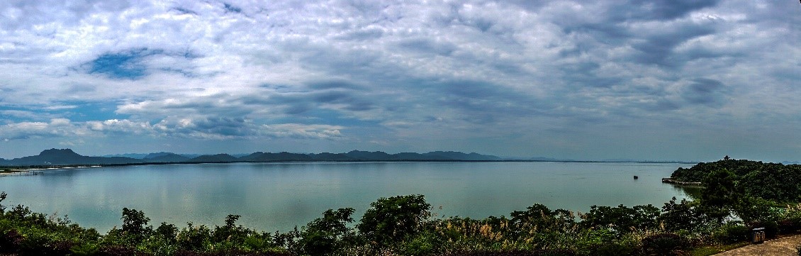
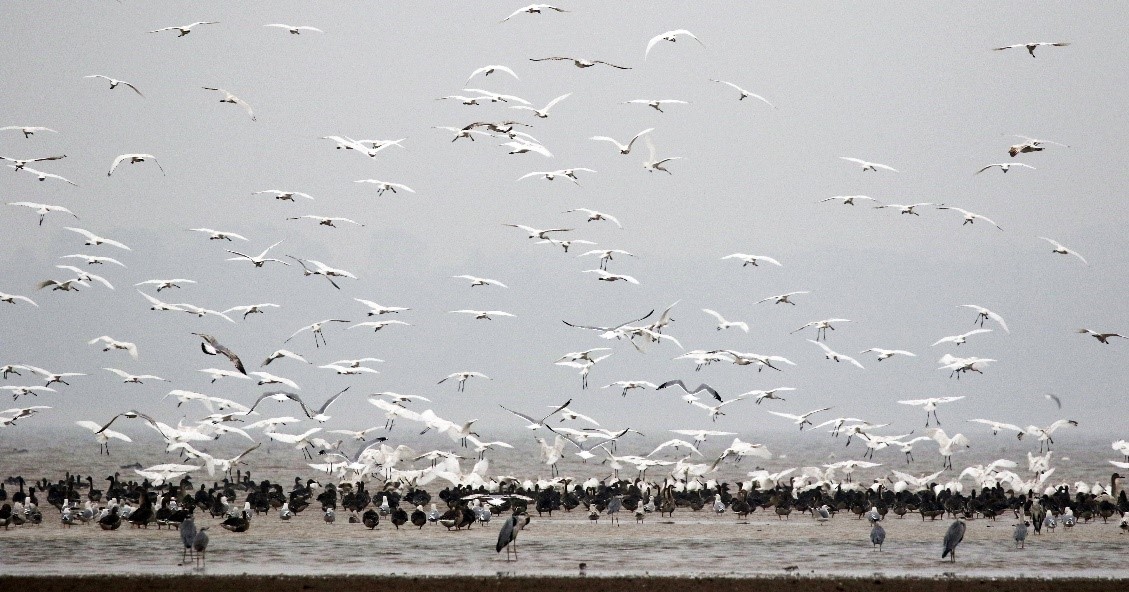
Located between the Mufu and Dabie mountains of central China, the Site is a complex wetland ecosystem with inland shallow lakes, flooded marshes and permanent rivers where wetlands and forests develop in succession. Surrounded by mountains and hills in the catchment of the Fu river (a primary tributary of the Yangtze), the relatively isolated and near-natural Site provides habitats for a wide range of wildlife. There are 591 vascular plant species, 46 zooplankton, 30 zoobenthos, 74 fish species, 33 amphibians and reptiles, 167 birds and 25 mammals. It supports a variety of rare and threatened species such as the critically endangered Chinese pangolin (Manis pentadactyla) and Chinese sturgeon (Acipenser sinensis); the endangered Japanese eel (Anguilla japonica) and Chinese forest musk deer (Moschus berezovskii); and the vulnerable serow (Capricornis sumatraensis) and lesser white-fronted goose (Anser erythropus). It also provides important stopover and wintering grounds on the East Asian – Australasian Flyway for 20,000 to 50,000 birds. 80% of the inflow from the north slope of Mufu mountain and Yangxin County is discharged into the wetland and so it serves as an important flood buffer system for the Yangtze and Fu rivers.
Administrative region
National legal designation
- National Important Wetland - Wang Lake Wetland
Last publication date:
Download
Ramsar Information Sheet (RIS)
- CN2349RIS_1808_en.pdf
- CN2349_map180121.jpg