Environmental Protection Area of Cananéia-Iguape-Peruíbe
- Country:
- Brazil
- Site number:
- 2310
- Area:
- 202,307.0 ha
- Designation date:
- 04-09-2017
- Coordinates:
- 24°40'33"S 47°35'53"W
Map
Photos
Overview
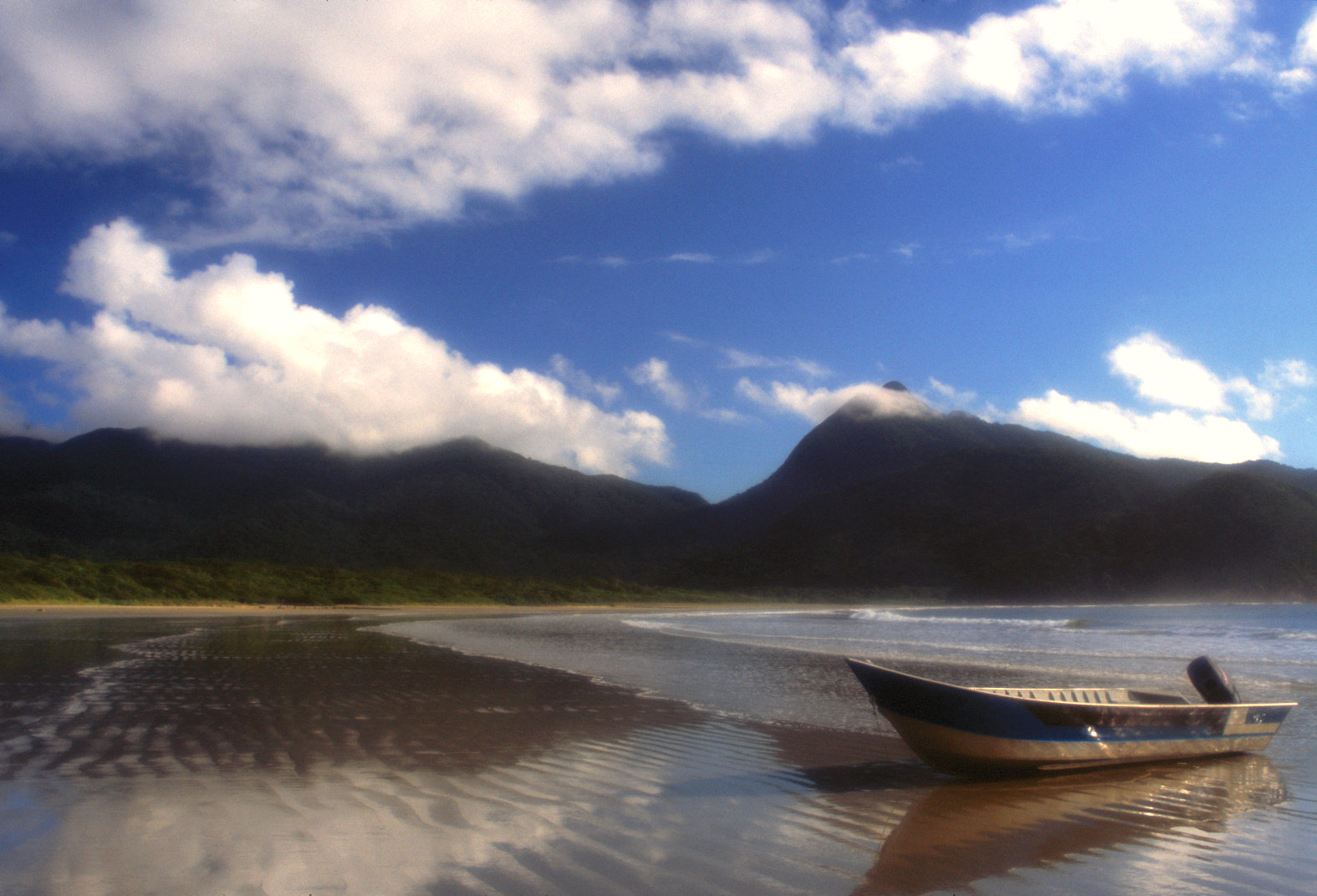
The Site, situated in São Paulo and Paraná States, is a representative wetland area of the Atlantic Forest. It is part of the “Atlantic Forest South-East Reserves” World Heritage site and UNESCO Biosphere Reserve. The Site has mangroves, estuaries, rivers, lagoon channels, coastal plains, waterfalls and marine and coastal islands. It also features sandbank forests, dunes and the most extensive and conserved stretch of Atlantic Forest in the country. This mosaic of wetland landscapes of great natural diversity and notable scenic beauty hosts threatened and endemic species such as the critically endangered black-faced lion tamarin (Leontopithecus caissara), the endangered Atlantic petrel (Pterodroma incerta) and the channel-billed toucan (Ramphastos vitellinus). Agriculture, logging, fishing and pollution are among the main threats within the Site.
Administrative region
Global international designation
- UNESCO Biosphere Reserve
- World Heritage site
National legal designation
- Protected area - Cananéia-Iguape-Peruíbe Environmental Protection Area
- mosaic of Conservation Units - Lagamar Mosaic
Last publication date:
Download
Ramsar Information Sheet (RIS)
- BR2310RIS_1709_en.pdf
- BR2310_map170710.jpg
- BR2310_taxo1601.pdf
- BR2310_mgt170418.pdf