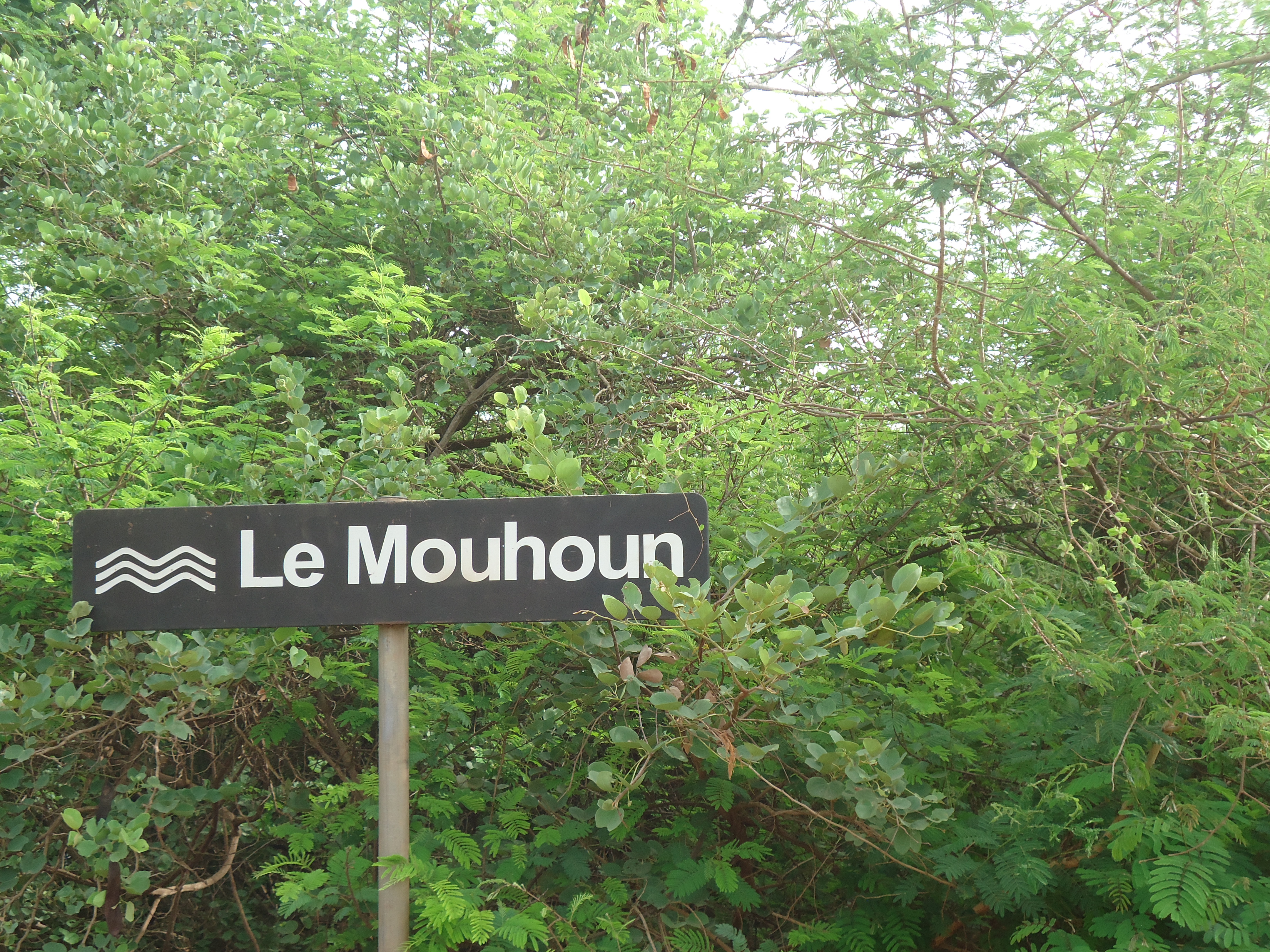
Zone de confluence Mouhoun-Sourou
- Country:
- Burkina Faso
- Site number:
- 2292
- Area:
- 23,300.0 ha
- Designation date:
- 02-02-2017
- Coordinates:
- 12°41'07"N 03°19'01"W
Map
Photos
Overview
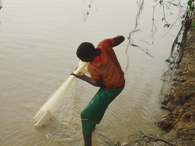
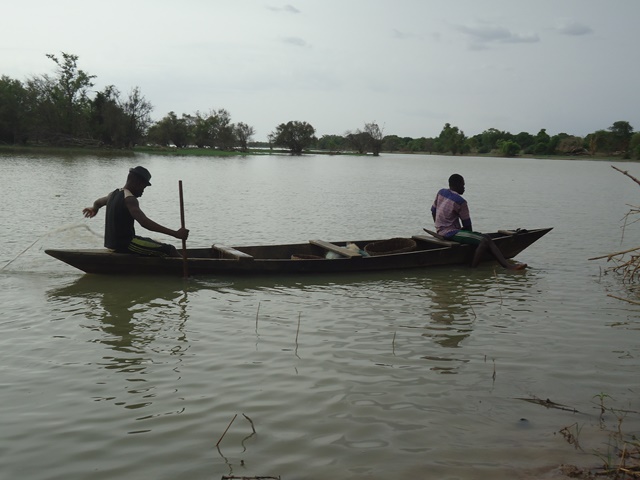
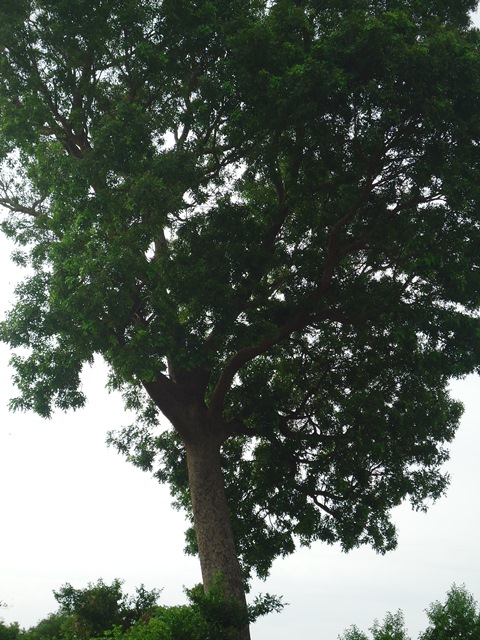
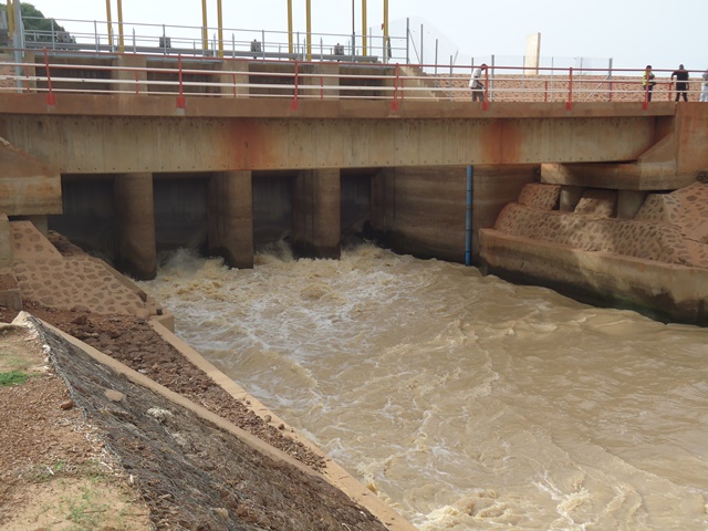
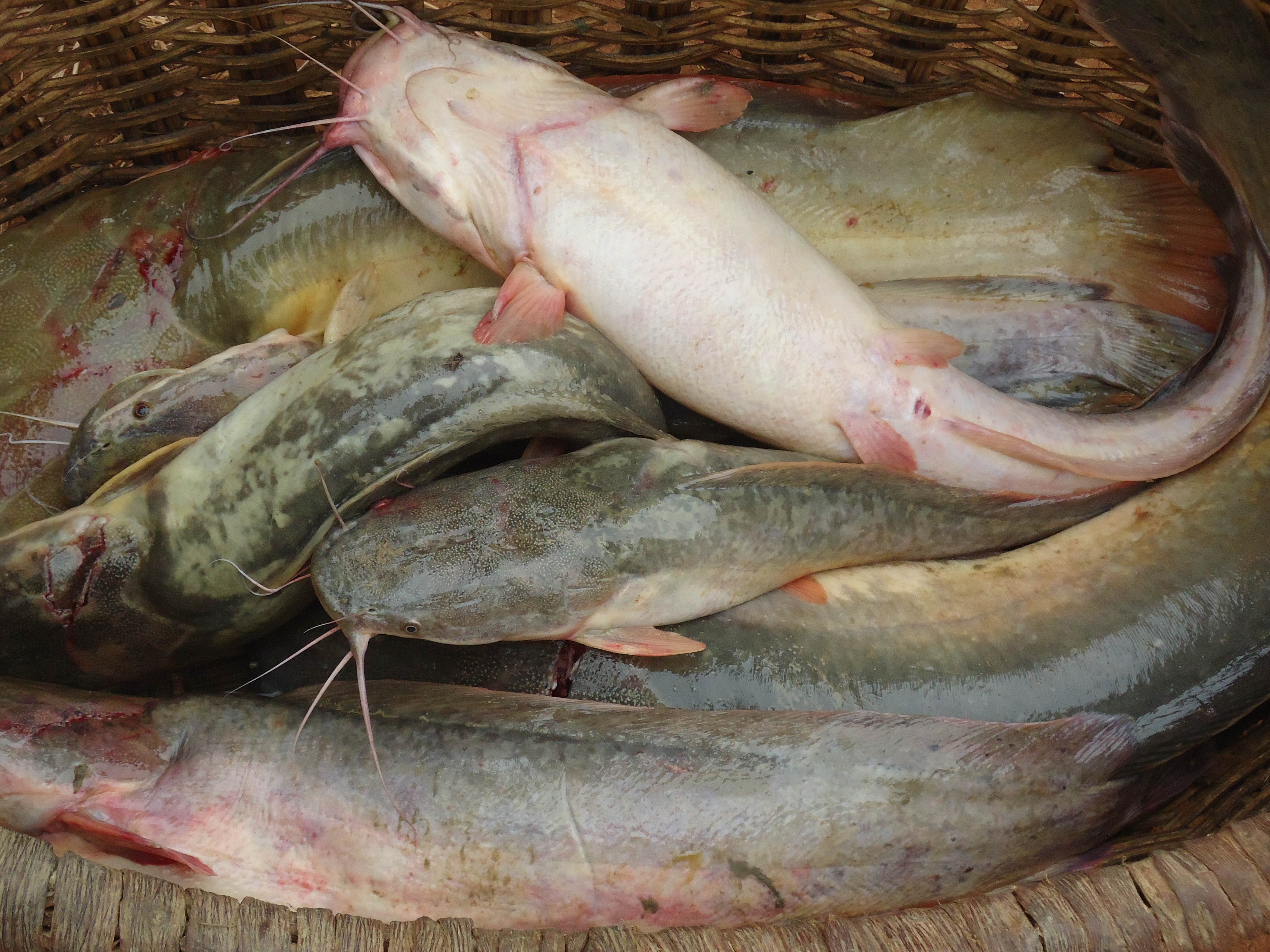
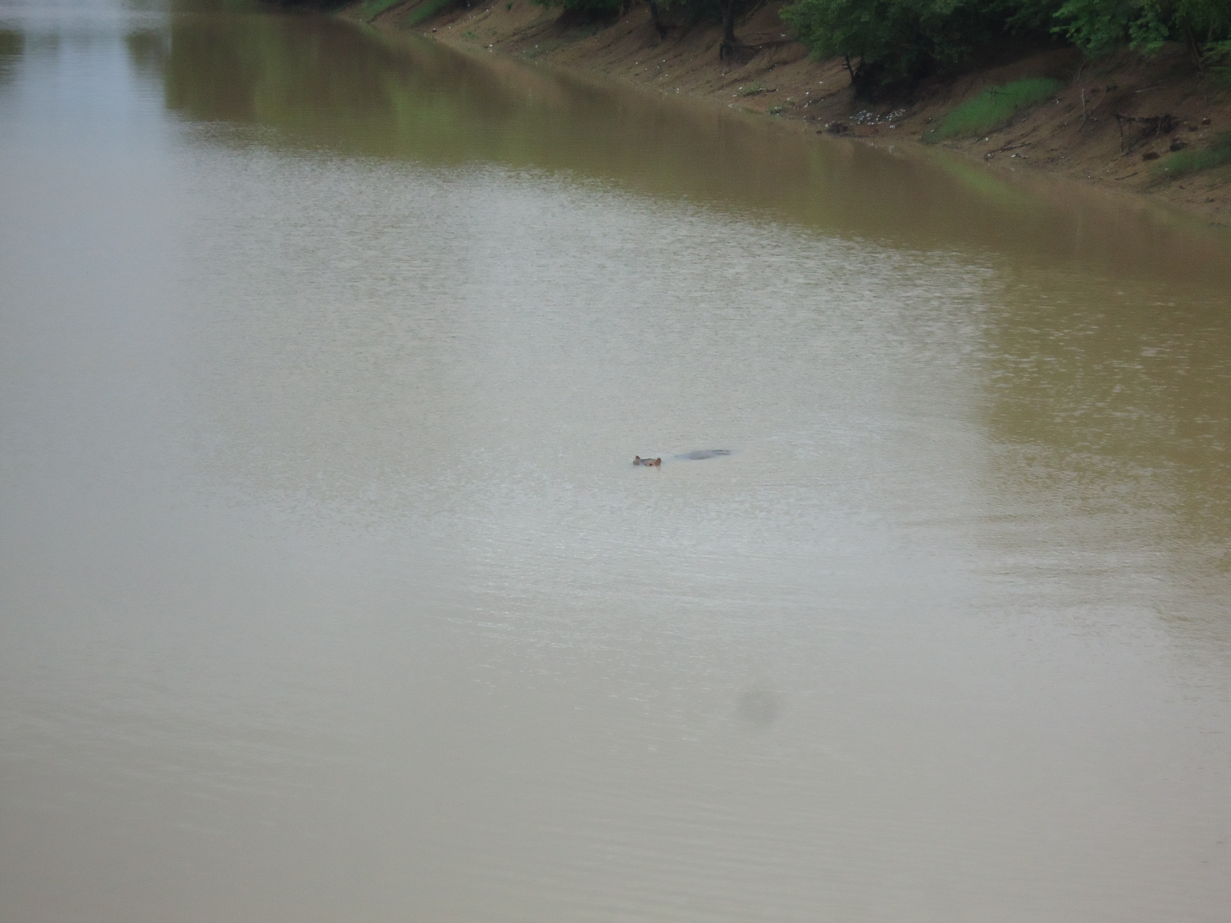
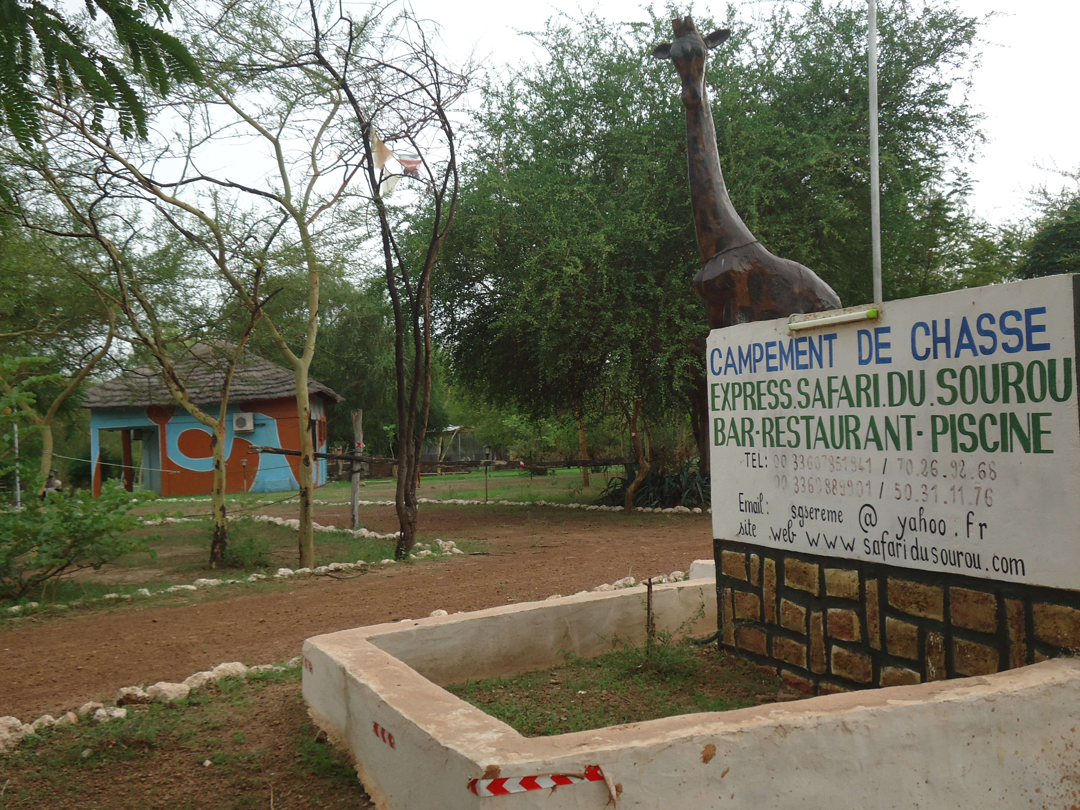
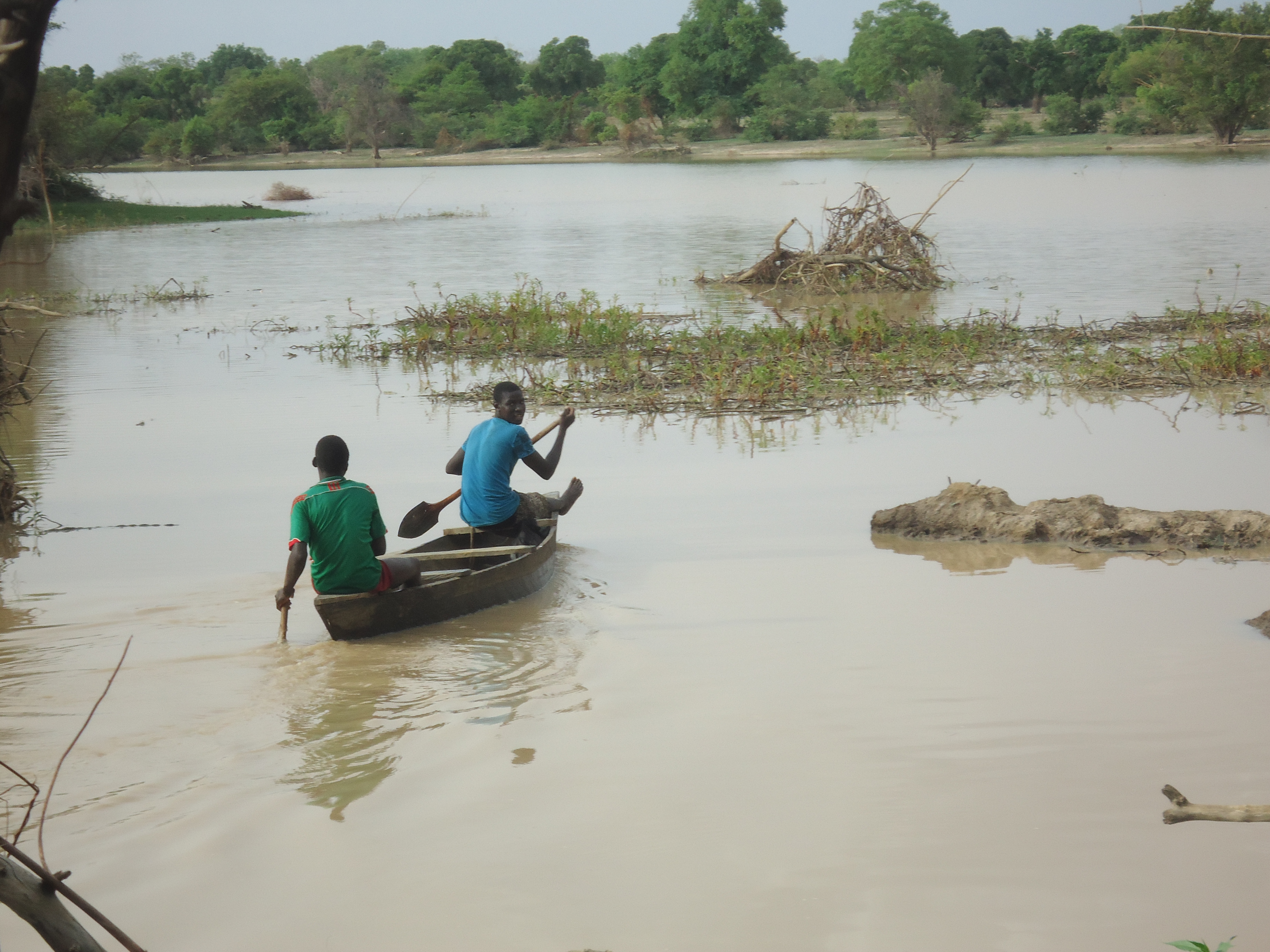
The Site is at the confluence of the Mouhoun and Sourou rivers in the “Boucle du Mouhoun” region. The larger Mouhoun river forms, with its tributary the Sourou, a complex with a particular hydrological regime. The Site is important as a sanctuary for endangered plant and animal species: it is home to nationally or globally threatened species such as hippopotamus, and the trees Khaya senegalensis, Faidherbia albida, Vitellaria paradoxa and Parkia biglobosa. It also has a great diversity of fish with over 40 species recorded, of which the most important for fishing are various tilapia (Sarotherodon galilaeus, Oreochromis niloticus and Tilapia zillii), the catfish Clarias gariepinus, the African arowana Heterotis niloticus and the aba Gymnarchus niloticus. The wetland provides many ecosystem services to riparian populations, including fertile land, water for agricultural production, and resources for fishing, medicinal plants and livestock. A significant part of the Site corresponds to the gazetted forests of Say and Sourou which are zoned as hunting and game-viewing concessions, and so benefit from additional protection. This limits the degradation of the Site’s resources relative to those of the surrounding areas. Local communities live in symbiosis with the wetlands because of their awareness of the important role that they play in their survival.
Administrative region
Région de la Boucle du Mouhoun
National legal designation
- Forêts Classée - Say et Sourou
Last publication date:
21-03-2017
Download
Ramsar Information Sheet (RIS)
- BF2292RIS_1703_fr.pdf
- BF2292_map161220.pdf
- BF2292_mgt170127.pdf
- BF2292_mgt170127_1.pdf