Gangtey-Phobji
- Country:
- Bhutan
- Site number:
- 2264
- Area:
- 970.0 ha
- Designation date:
- 02-05-2014
- Coordinates:
- 27°26'46"N 90°11'08"E
Map
Photos
Overview
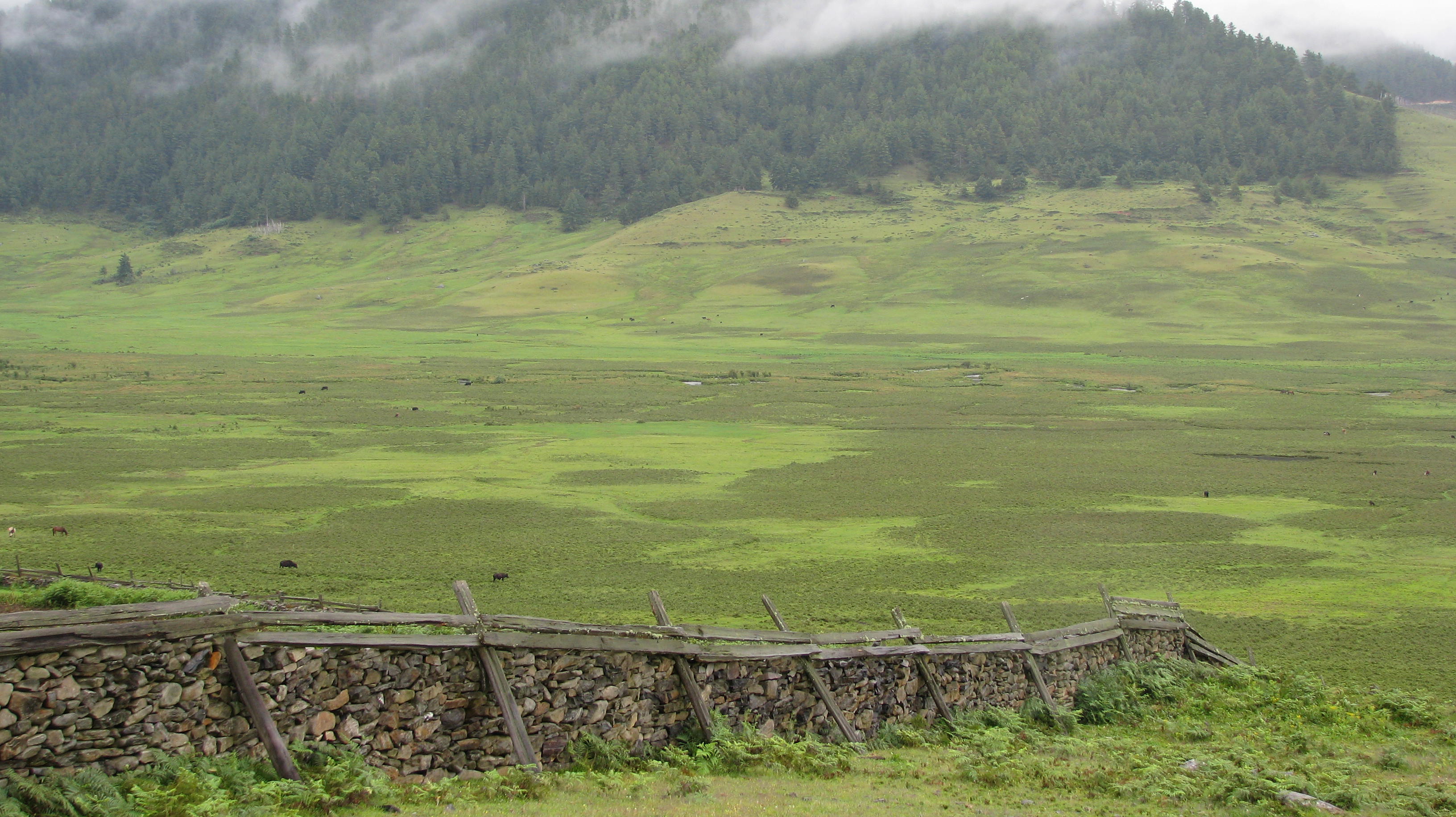
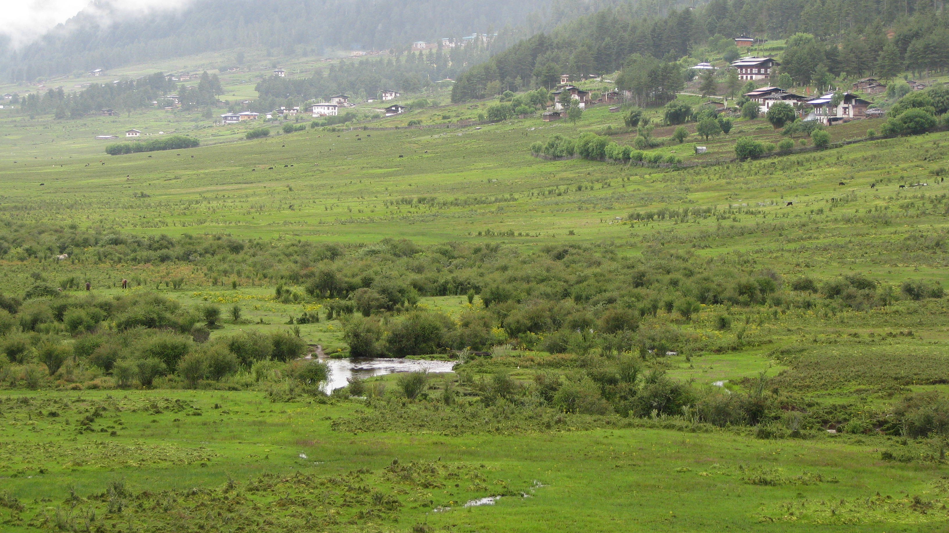
Gangtey-Phobji Ramsar Site lies in a wide glacial valley that spreads across the central highlands of Bhutan. Streams in the valley drain through open grasslands to the Nakeychhu, Khewangchhu and other small annual and perennial streams. Most of the areas along the streams are marshy, covered by grass, bamboo, and several species of shrub and herbs including thick sphagnum moss. They support rich ecosystems, and provide prime winter habitat for up to 300 globally vulnerable black-necked crane (Grus nigricollis), and other globally threatened species such as the endangered red panda (Ailurus fulgens) and tiger (Panthera tigris), and the vulnerable sambar (Cervus unicolor). The valley is an important water source for drinking and irrigated agriculture for the 44 villages in the valley as well as the villages downstream. The Gangtey-Phobji area is a popular tourism destination with the number of tourists increasing each year. A traditional festival is organized to welcome the arrival of the black-necked cranes in October, and the roosting cranes heighten the breathtaking scenery and help to promote nature-based tourism. Projects to promote community-based tourism have been implemented, aiming at building local people’s capacity and developing tourism products and activities such as home-stays, local guides, cultural programmes, and campsites.
Administrative region
Wangdue Phodrang District; within Phobji and Gangtey geogs/blocks
Last publication date:
14-04-2016
Download
Ramsar Information Sheet (RIS)
- BT2264RIS_1604_en.pdf
- BT2264_map1602.pdf