Bassin du Nakanbé-Mané
- Country:
- Burkina Faso
- Site number:
- 2254
- Area:
- 19,477.0 ha
- Designation date:
- 02-02-2016
- Coordinates:
- 12°58'12"N 01°25'46"W
Map
Photos
Overview
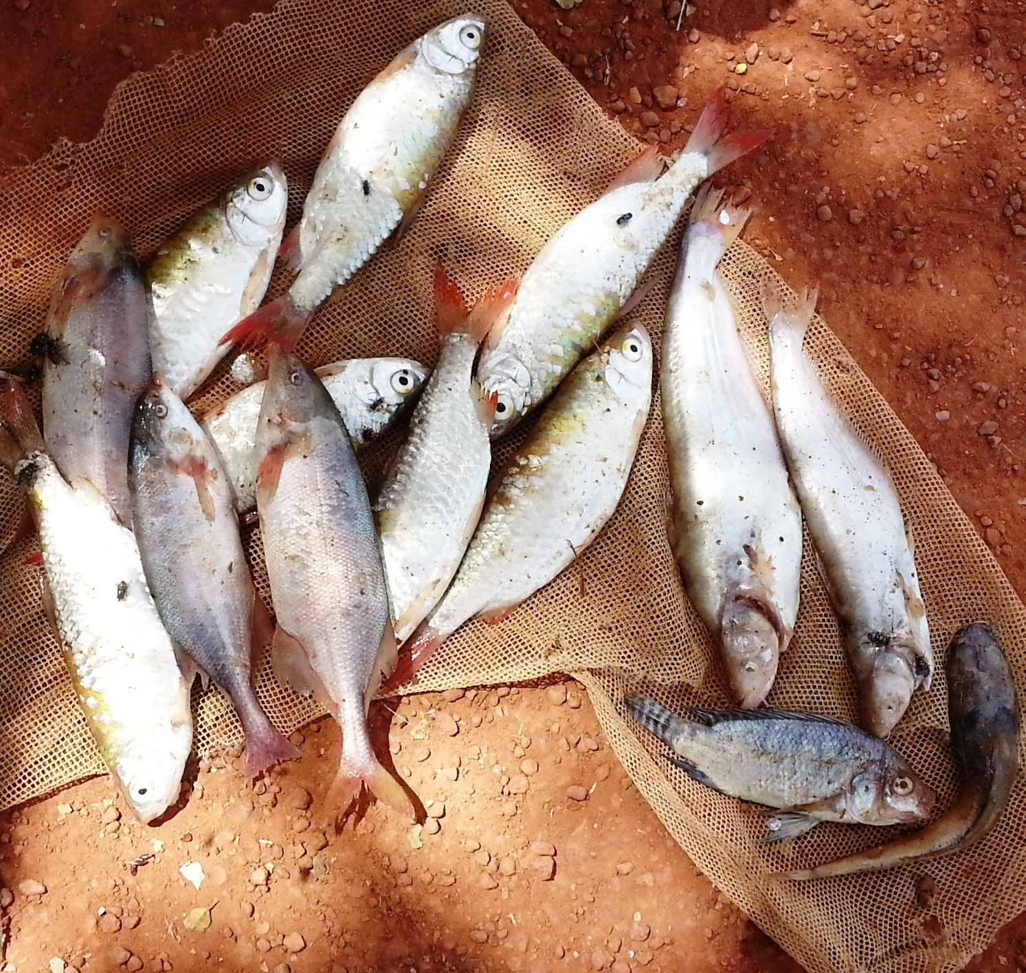
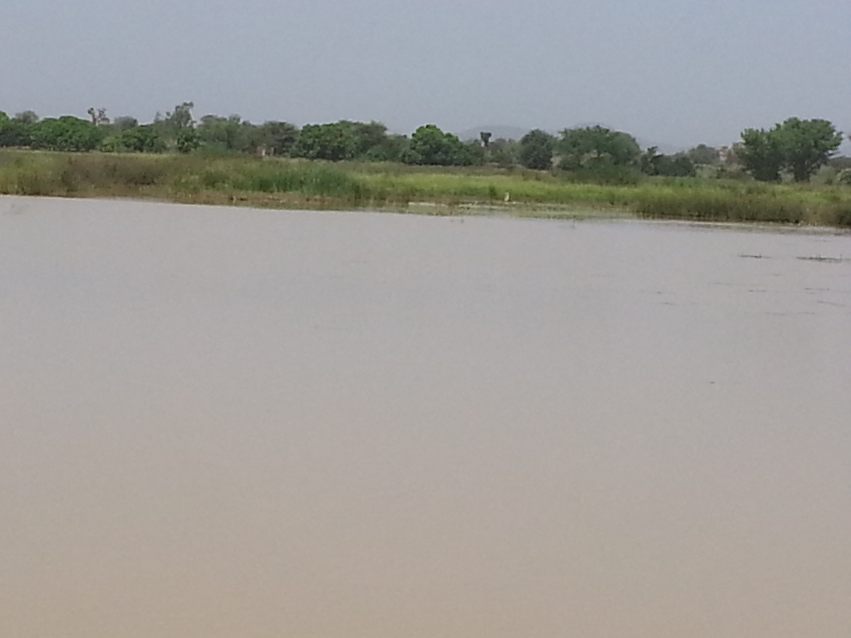
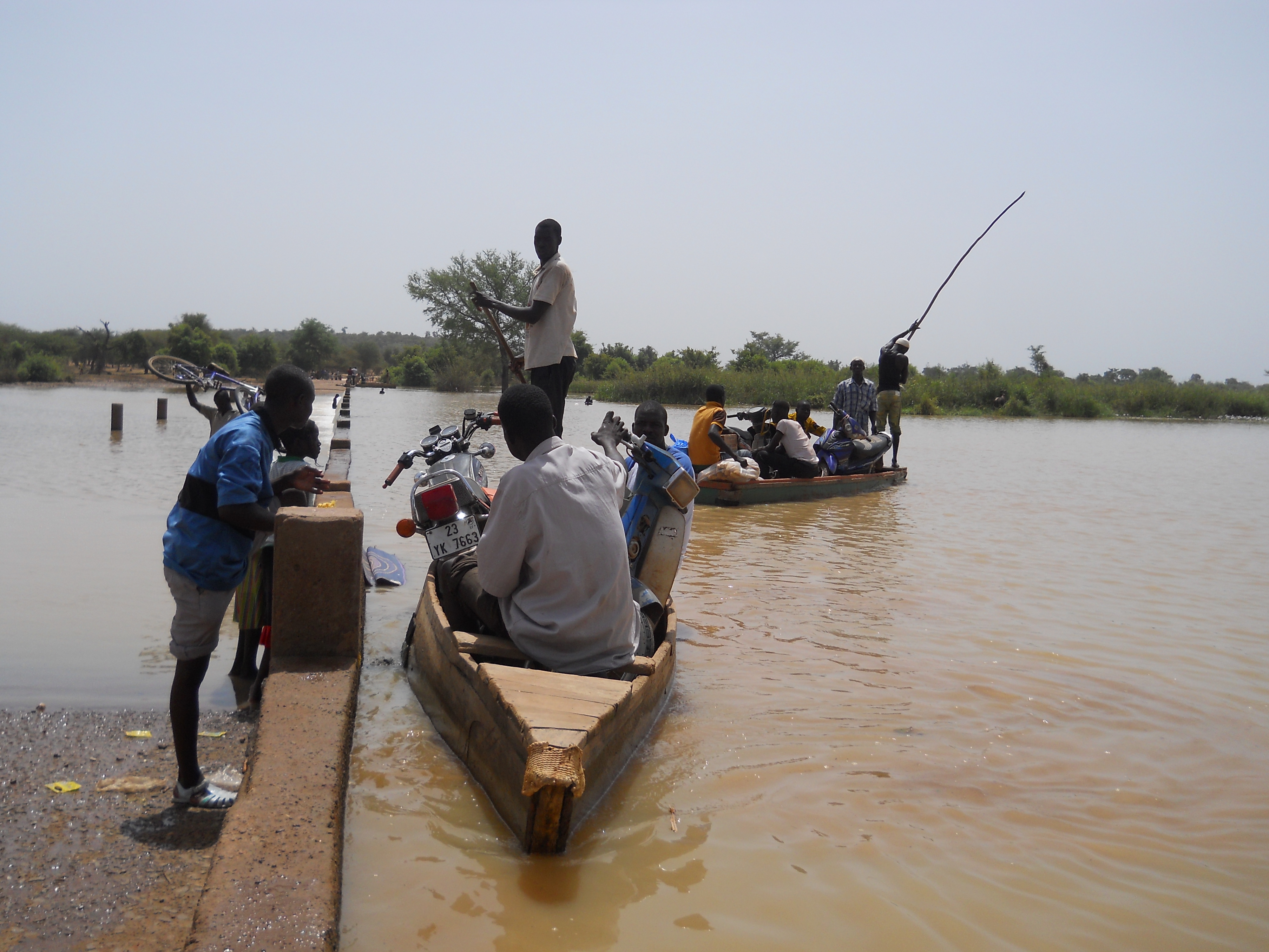
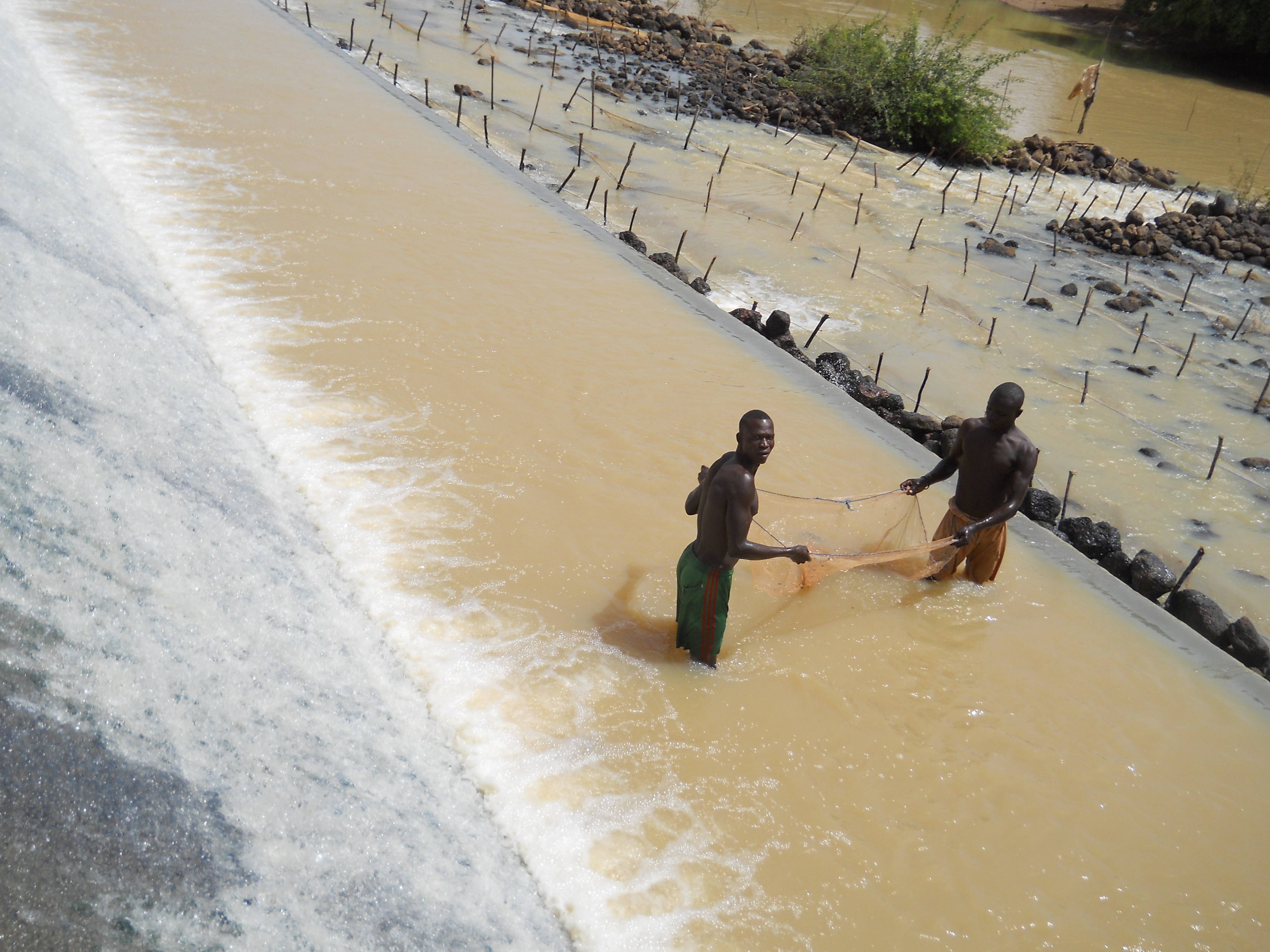
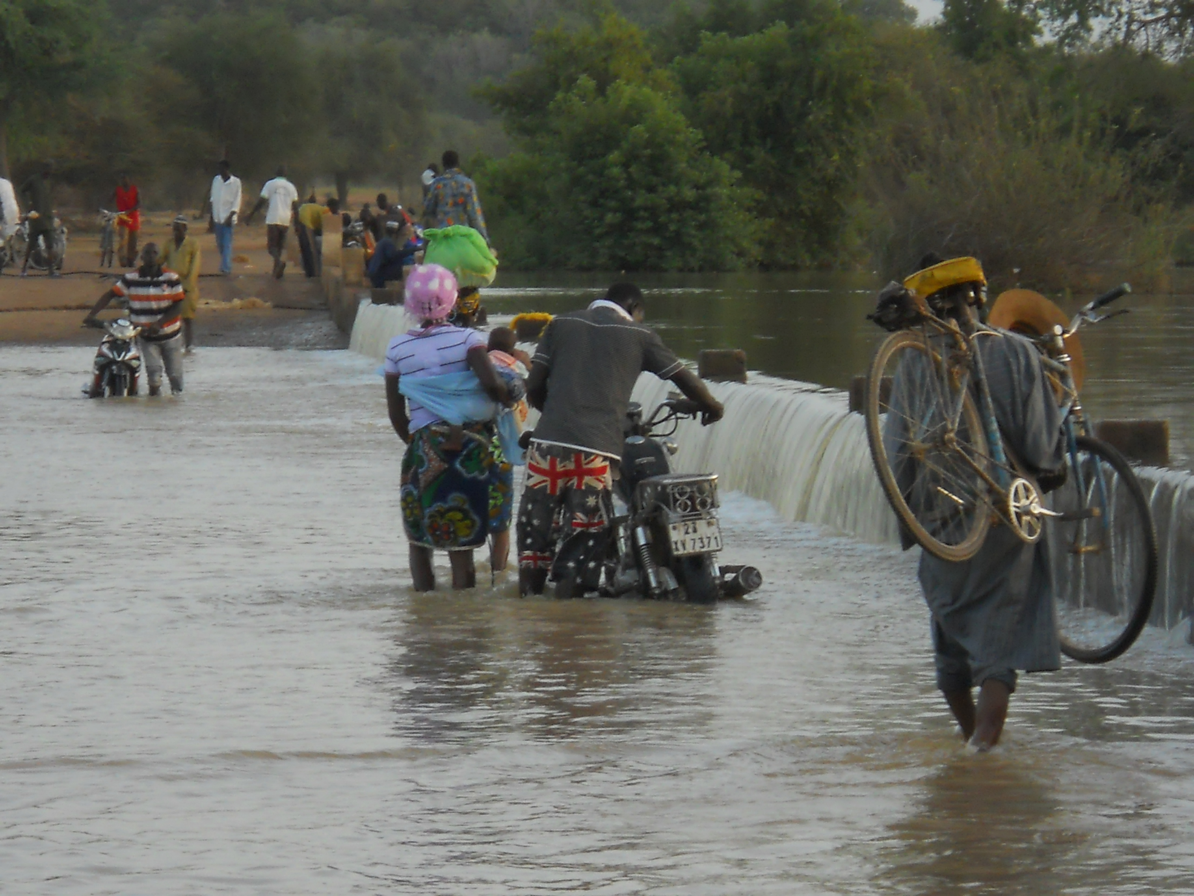
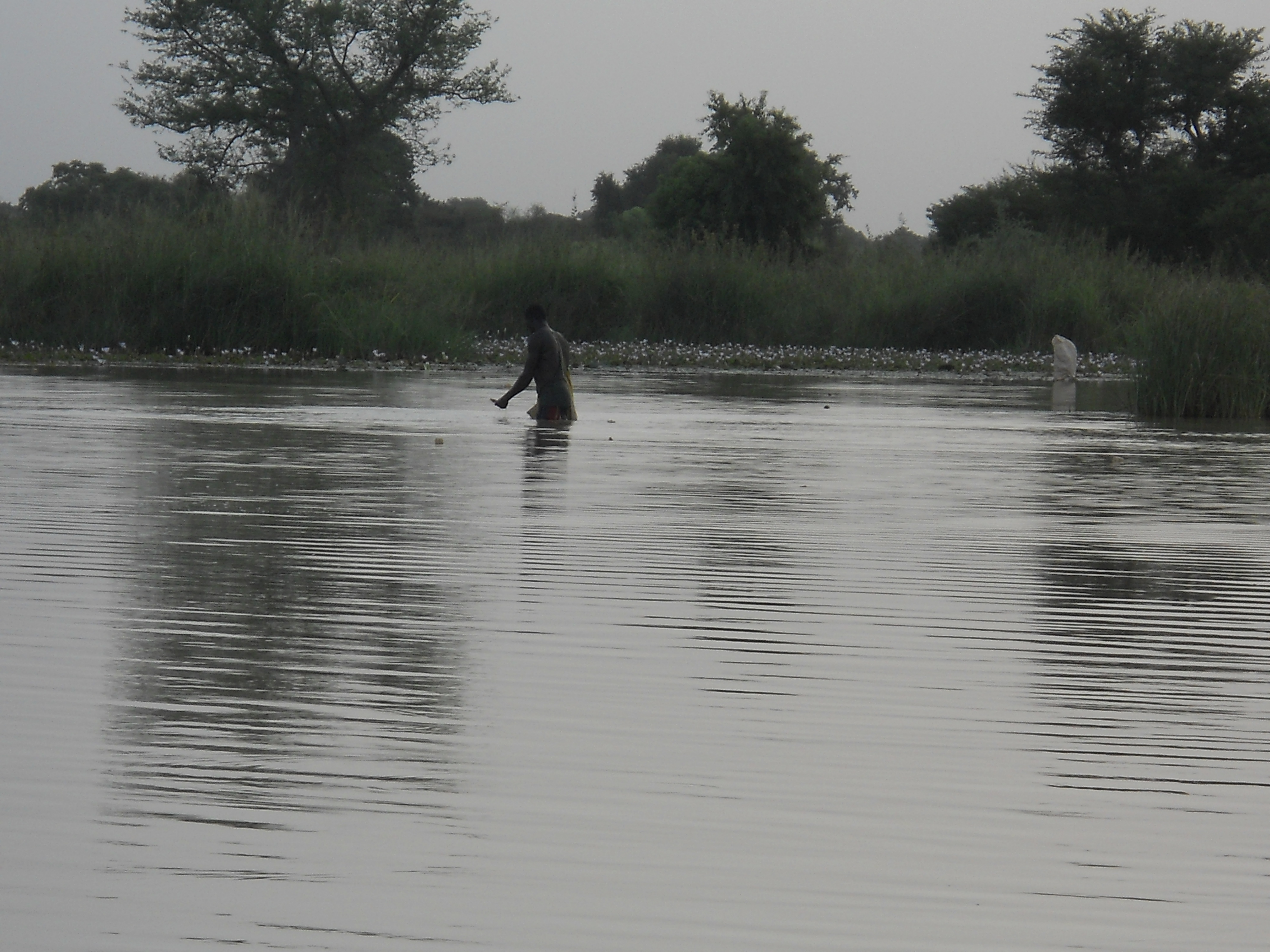
The Bassin du Nakanbé-Mané is a seasonal inland wetland featuring an artificial water reservoir and a unique forest reserve of 1,000 hectares composed of Acacia nilotica and savannah grasslands. It follows a stretch of the Nakanbé River, the second-largest and most important watercourse in Burkina Faso after the Mouhoun River. The Nakanbé supplies water to major cities in the country and feeds thousands of people who rely on it for agriculture and fishing. The forest reserve offers ideal habitat for monkeys, rabbits, bats, weavers, pythons and Nile crocodiles, which are found in large numbers. The main threats to the ecological integrity of the Site include the excessive unregulated abstraction of water and chemical pollution caused by illegal gold mining.
Administrative region
Région du Centre-Nord
National legal designation
- Forêt classée de Yabo - Region du Centre- Nord
Last publication date:
24-02-2016
Download
Ramsar Information Sheet (RIS)
- BF2254RIS_1602_fr.pdf
- BF2254_map1601.pdf
- BF2254_taxo1601.docx