Vindelälven
- Country:
- Sweden
- Site number:
- 2181
- Area:
- 66,395.0 ha
- Designation date:
- 19-03-2013
- Coordinates:
- 65°07'33"N 18°12'14"E
Map
Photos
Overview
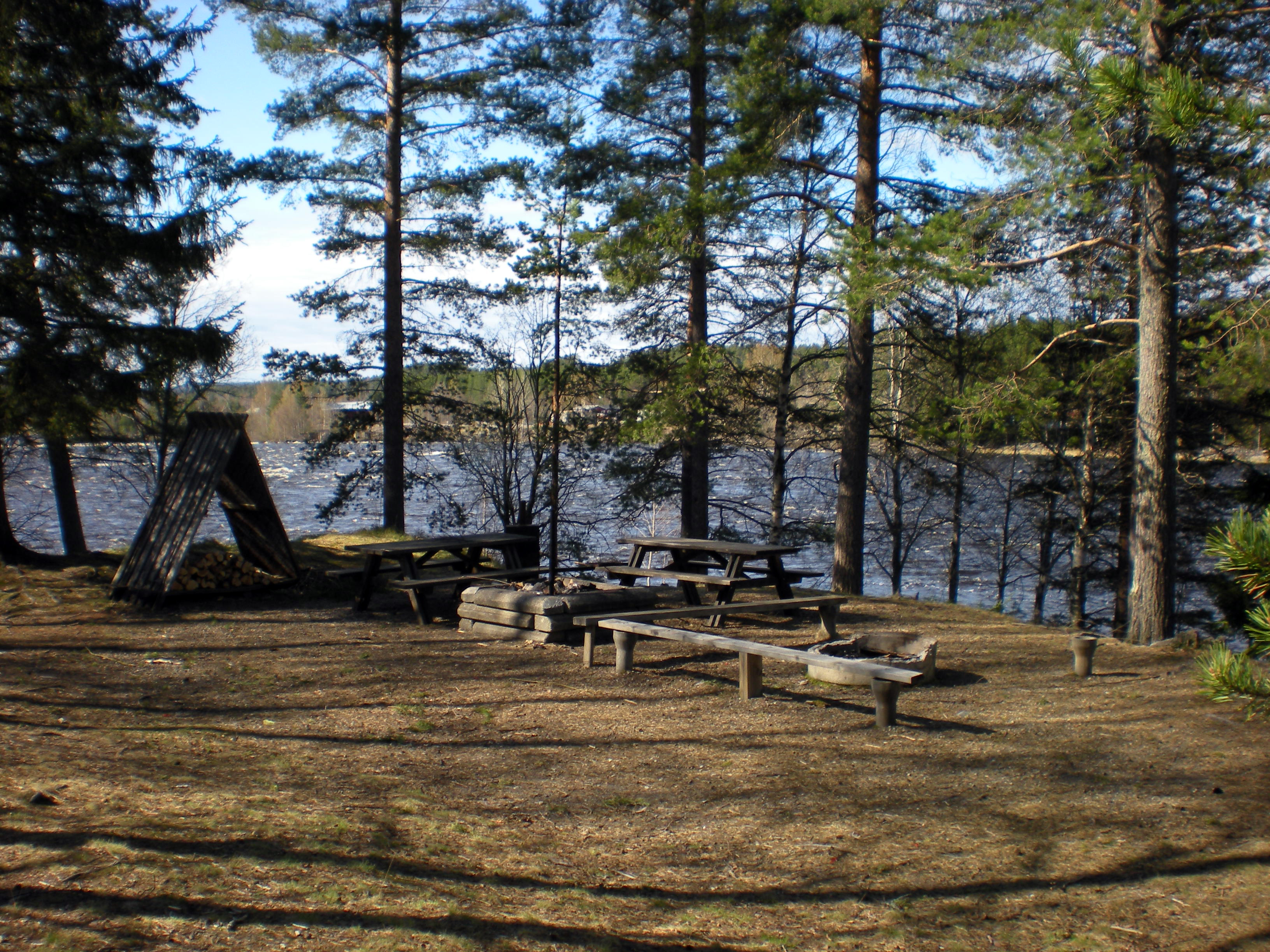
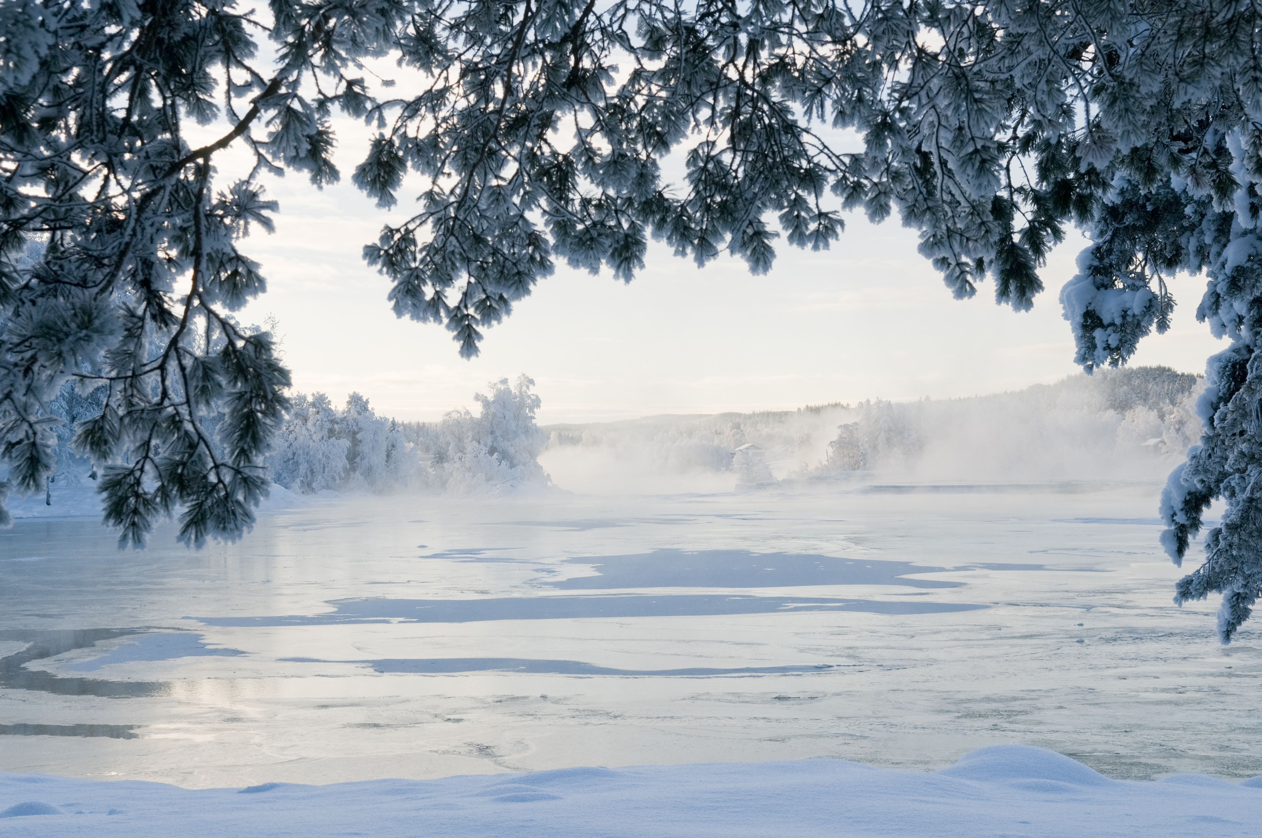
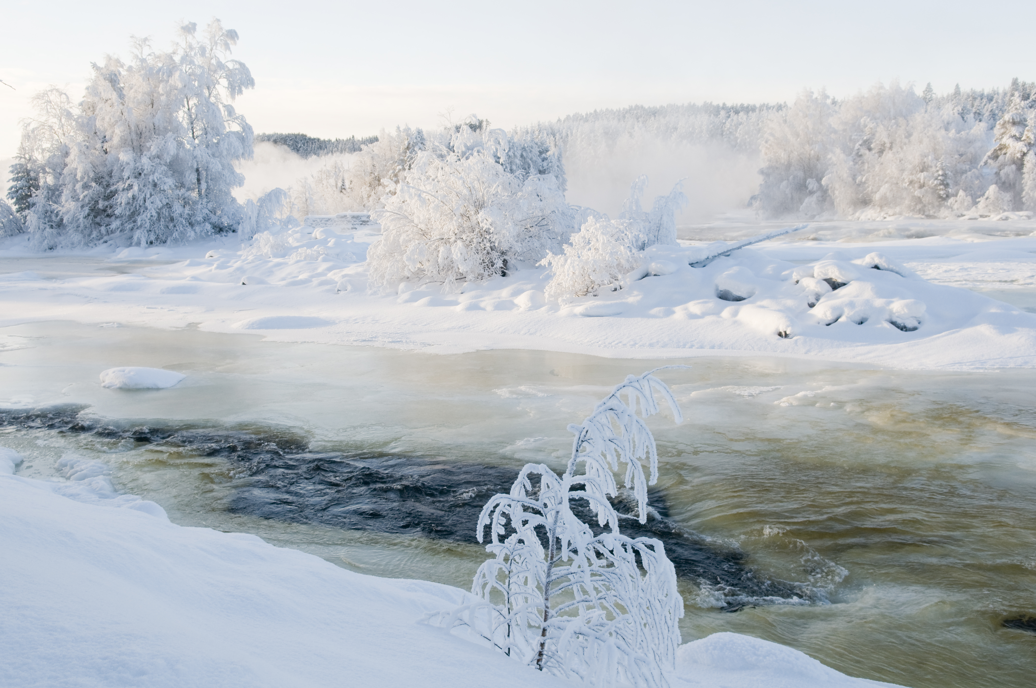
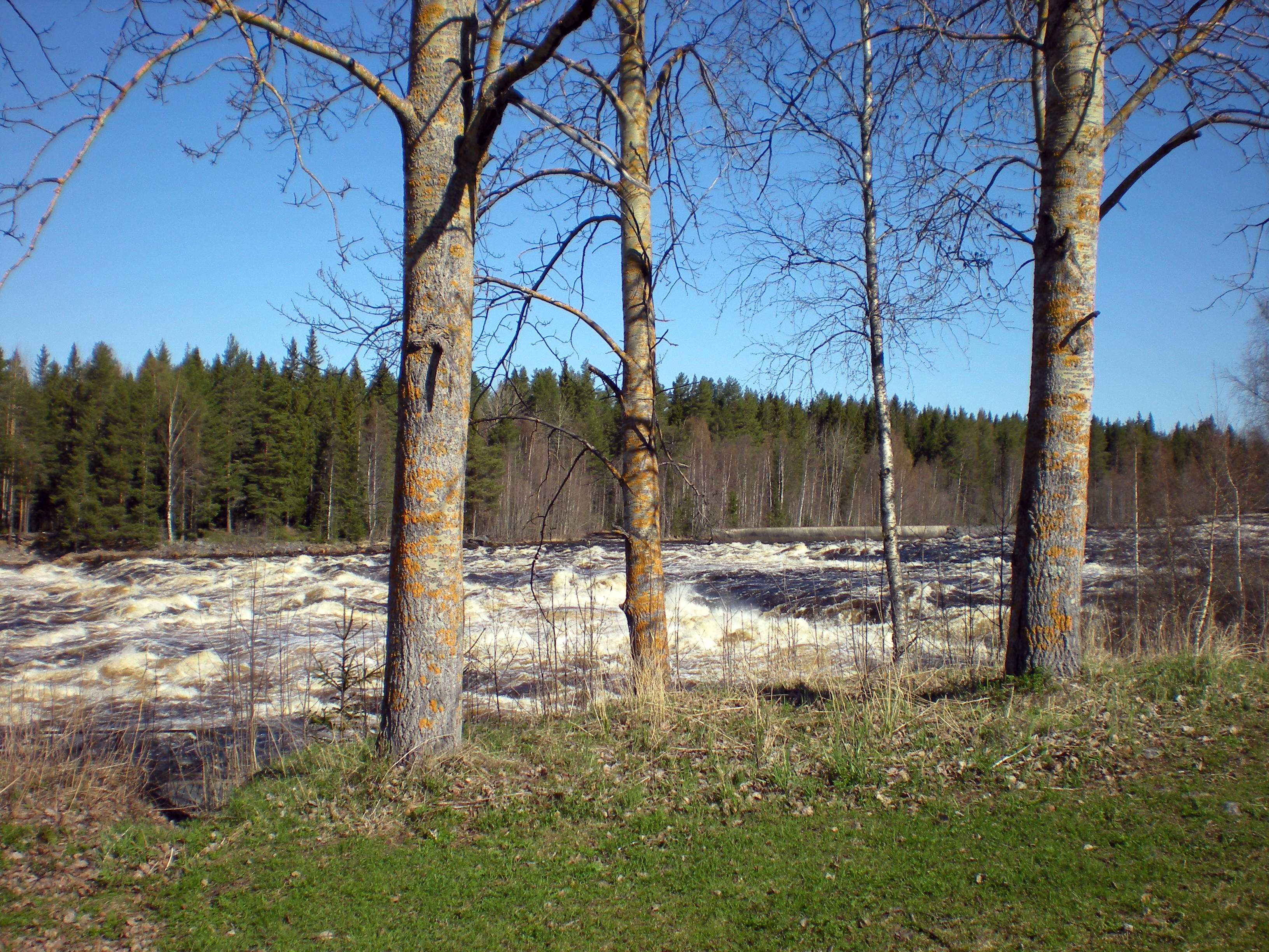
Stretching 450 kilometres from Sweden’s alpine biogeographic region to the coast, the Site encompasses the entire Vindelälven River and its tributaries. Vindelälven is one of Sweden’s four large protected national rivers; it is free of hydropower dams and includes a large number of impressive rapids. The water vegetation in the slow-running parts of the river is well developed. The natural water flow and seasonal flooding have a positive effect on the flora along the river, which is particularly species-rich for northern boreal conditions. The Site is very important for maintaining the biological diversity associated with free-flowing rivers in the region as it creates good conditions for migrating freshwater-spawning populations of Atlantic salmon Salmo salar and brown trout Salmo trutta. The river is also important for the reproduction of the grayling Thymallus thymallus. Lake Storvindeln holds the entire population of the endemic Coregonus maraena morphotype known as “storskallesik”. The inland delta in Ammarnäs is important for migrating and breeding waterbirds such as the globally threatened lesser white-fronted goose Anser erythropus. The river is a very important freshwater source and contributes to sediment trapping in the slow-flowing parts and water purification in the adjacent areas. The main human activities are recreation, fishing and hunting, while the main threats relate to wood and pulp plantations. Restoration measures have included the re-naturalisation of parts of the river as well as infrastructure improvements along some creeks to facilitate the passage of fish and invertebrates.
Administrative region
Västerbotten County
Global international designation
- UNESCO Biosphere Reserve
National legal designation
- Environmental legislation against water hydropower and water transfer to other basins (MB 4 kap 6 §) - Vindelälven
- Nature reserve (1) - Vindelfjällen
- Nature reserve (10) - Järptjärn
- Nature reserve (11) - Kittelforsheden
- Nature reserve (12) - Krycklan
- Nature reserve (13) - Kåtaberget
- Nature reserve (14) - Lerfallet
- Nature reserve (15) - Liksgelisen
- Nature reserve (16) - Mårdseleheden
- Nature reserve (17) - Mårdselforsen
- Nature reserve (18) - Nalovardo
- Nature reserve (19) - Sandseleforsen
- Nature reserve (2) - Abborravan
- Nature reserve (20) - Skålliden
- Nature reserve (21) - Smalaken
- Nature reserve (22) - Stenringsavan
- Nature reserve (23) - Stor-Bränntjärnmyran
- Nature reserve (24) - Vindelforsarna
- Nature reserve (25) - Vindelstorforsen
- Nature reserve (26) - Vormforsen
- Nature reserve (27) - Vännforsen
- Nature reserve (28) - Åmseleheden
- Nature reserve (3) - Altarliden
- Nature reserve (4) - Björktjärnskammen
- Nature reserve (5) - Bocksberget
- Nature reserve (6) - Degerö Stormyr
- Nature reserve (7) - Gimegolts
- Nature reserve (8) - Hjukenåsarna
- Nature reserve (9) - Hällbergsträsk
Regional (international) legal designations
- EU Natura 2000
Last publication date:
06-04-2017
Download
Ramsar Information Sheet (RIS)
- SE2181RIS_1704_en.pdf
- SE2181RISformer_150218.pdf
- SE2181map2013.pdf