Vigonoshchanskoe
- Country:
- Belarus
- Site number:
- 2141
- Area:
- 54,611.0 ha
- Designation date:
- 16-01-2013
- Coordinates:
- 52°41'18"N 25°47'38"E
Map
Photos
Overview
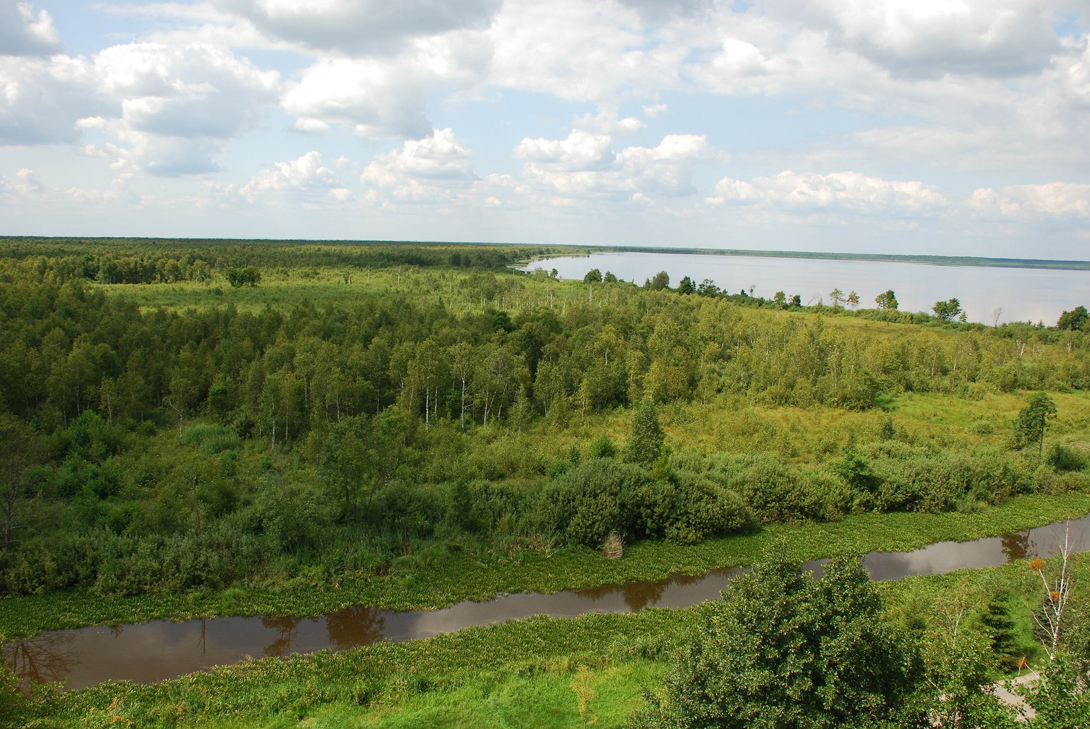
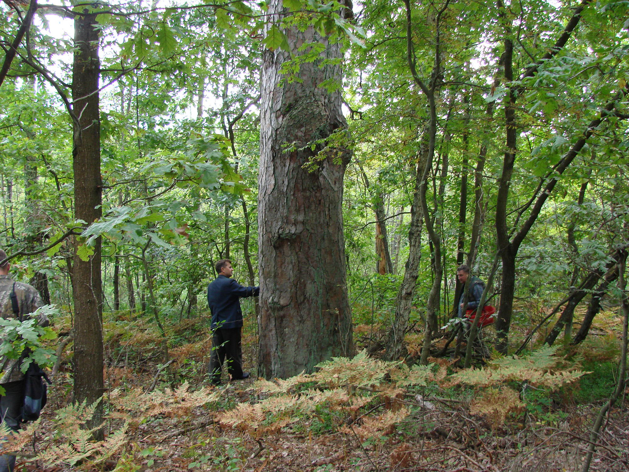
This Site in south-eastern Belarus straddles the watershed between the Black and Baltic Seas. It is one of the largest forest-wetland complexes in Belarus, and comprises two large lakes, rivers, canals, floodplains and open marsh areas, with waterlogged forests, fens, and transitional and raised bogs. A characteristic feature is the presence of large areas of white birch forests on mires. The core of the Site is Lake Vygonoshchanskoe, one of the largest pristine lakes in Polesie. The whole area is of great importance for the conservation of plant and animal communities nationally listed as vulnerable or endangered, including one of the largest and most stable populations of the European pond turtle (Emys orbicularis) and eight breeding pairs of the greater spotted eagle (Aquila clanga). The Site plays a key role in regulating the hydrological regime of the region and supplies water for the Shchara River, one of the Neman River’s largest tributaries. Its ecological character is affected by agricultural activities, fires, logging and poaching. Changes in water management including modifications to sluice operations on the Shchara River have also disrupted the level of Lake Vygonoshchanskoe.
Administrative region
National legal designation
- National Landscape Reserve - Vygonoshchanskoe
Last publication date:
Download
Ramsar Information Sheet (RIS)
- BY2141RIS_2101_en.pdf
- BY2141RISformer_200102.pdf
- BY2141_map200219.jpg
- BY2141_mgt200518.pdf