Lake Fehér at Kardoskút
- Country:
- Hungary
- Site number:
- 184
- Area:
- 492.0 ha
- Designation date:
- 11-04-1979
- Coordinates:
- 46°28'22"N 20°37'29"E
Map
Photos
Overview
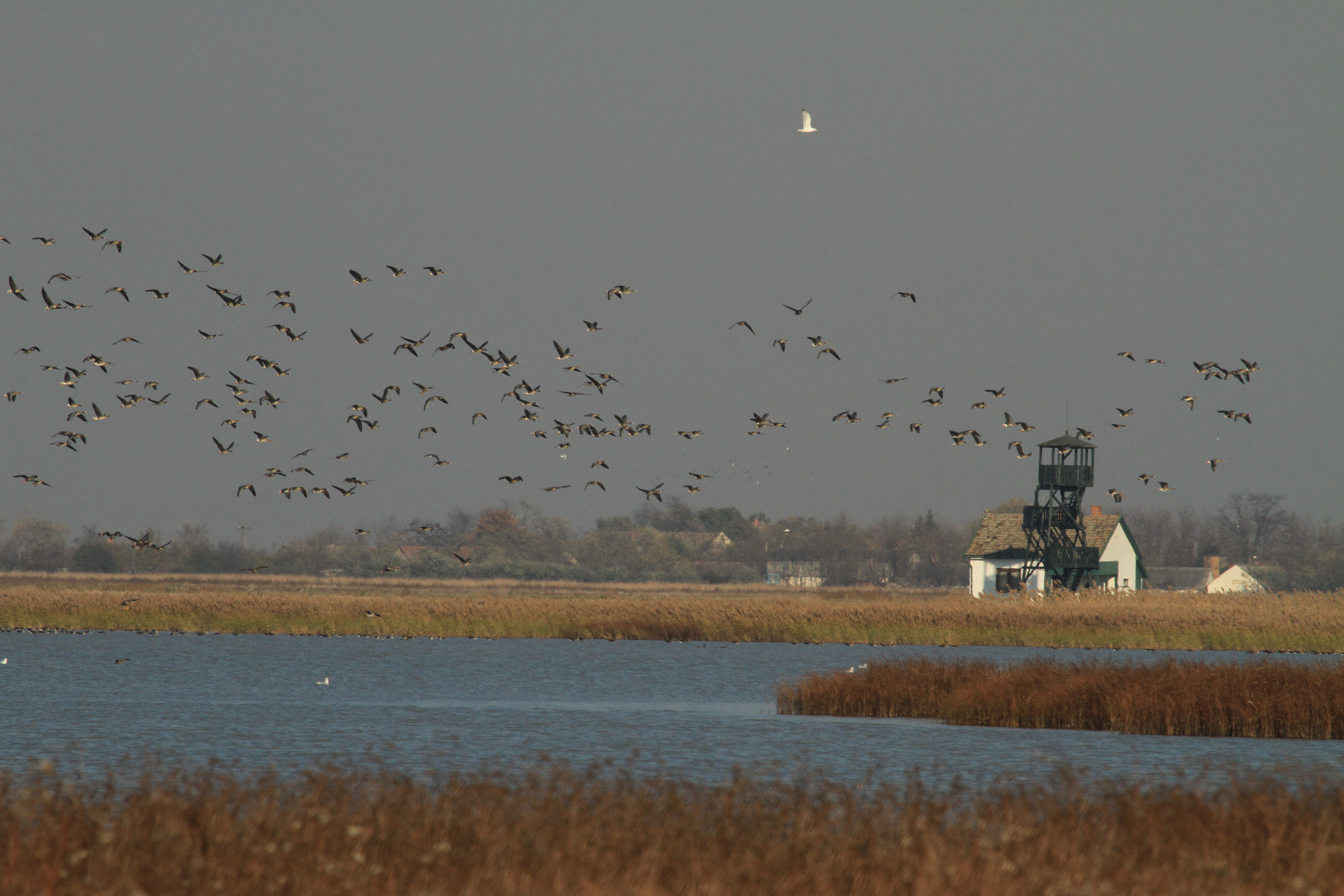
The Site is an alkaline steppe lake in south-east Hungary, and a former branch of the River Maros. The lake dries out completely during the summer and a gradual salt accumulation has resulted in fauna and flora associations typical of the Pannonian steppe, including grasslands and reedbeds. The wetland is one of the most fragile and valuable nature reserves in Hungary, and also hosts several archaeological sites. Lake Fehér is of international importance for thousands of migratory birds in eastern Hungary, and supports several endemic plants important for maintaining the biological diversity in the Pannonic biogeographic region. The wetland area is important for groundwater recharge. Human activities include reed harvesting. The draining of the former extensive wetland system has had a negative impact on the Site, but restoration measures have been implemented. An ornithological field station, a museum and birdwatching towers can be found at the Site.
Administrative region
Békés County
National legal designation
- National Park - Körös-Maros
- Nature Reserve - Lake Fehér at Kardoskút
- Special Area of Conservation - Hódmezővásárhely környéki és csanádi-háti puszták
- Special Protection Area - Csanádi puszták
Regional (international) legal designations
- EU Natura 2000
Last publication date:
08-03-2017
Download
Ramsar Information Sheet (RIS)
- HU184RIS_1703_en.pdf
- HU184RISformer1998_EN.pdf
- HU184RISformer_160725.pdf
- HU184_map161109.jpg
- HU184_taxo160818.pdf