Peitzer Ponds
- Country:
- Germany
- Site number:
- 175
- Area:
- 1,060.0 ha
- Designation date:
- 31-07-1978
- Coordinates:
- 51°50'10"N 14°25'05"E
Map
Photos
Overview
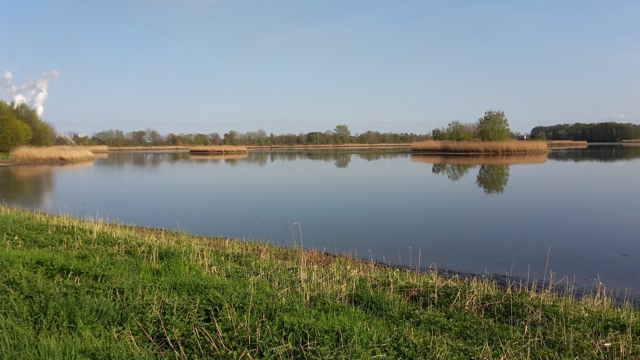
This Site to the south-east of the town of Peitz, some ten kilometres north of Cottbus, consists of 30 smaller and bigger fishponds that form an internationally important wintering, breeding and staging area for several species of waterbirds as well as providing habitat for other endangered species including the globally vulnerable crested newt (Triturus carnifex). The Site encompasses a variety of different ecosystems, ranging from dry grasslands to large reedbeds and bankside woodland. Today, the Peitzer Ponds are mainly used for aquaculture. However, surrounding agricultural fields as well as settlements, urban infrastructure, commercial and industrial sites impact the Site. The Site and surrounding area are also – to a smaller extent – being used for recreation and other leisure activities such as fishing, hunting, walking and bike-riding. A potential threat could be its proximity to a power plant and sewage treatment facility. Also, lignite is mined nearby. Management measures include extensive agriculture within and close to the borders of the Site, management of the water balance and its nutrient content, and monitoring and conservation measures for protected habitats and species.
Administrative region
National legal designation
- Nature conservation area - Peitzer Teiche und Teiche bei Bärenbrück und Lasszinswiesen
Regional (international) legal designations
- EU Natura 2000
Last publication date:
Download
Ramsar Information Sheet (RIS)
- DE175RIS_2409_en.pdf
- DE175_map240701.pdf