Ottenby
- Country:
- Sweden
- Site number:
- 17
- Area:
- 1,856.0 ha
- Designation date:
- 05-12-1974
- Coordinates:
- 56°12'49"N 16°25'23"E
Map
Photos
.jpg)
Overview
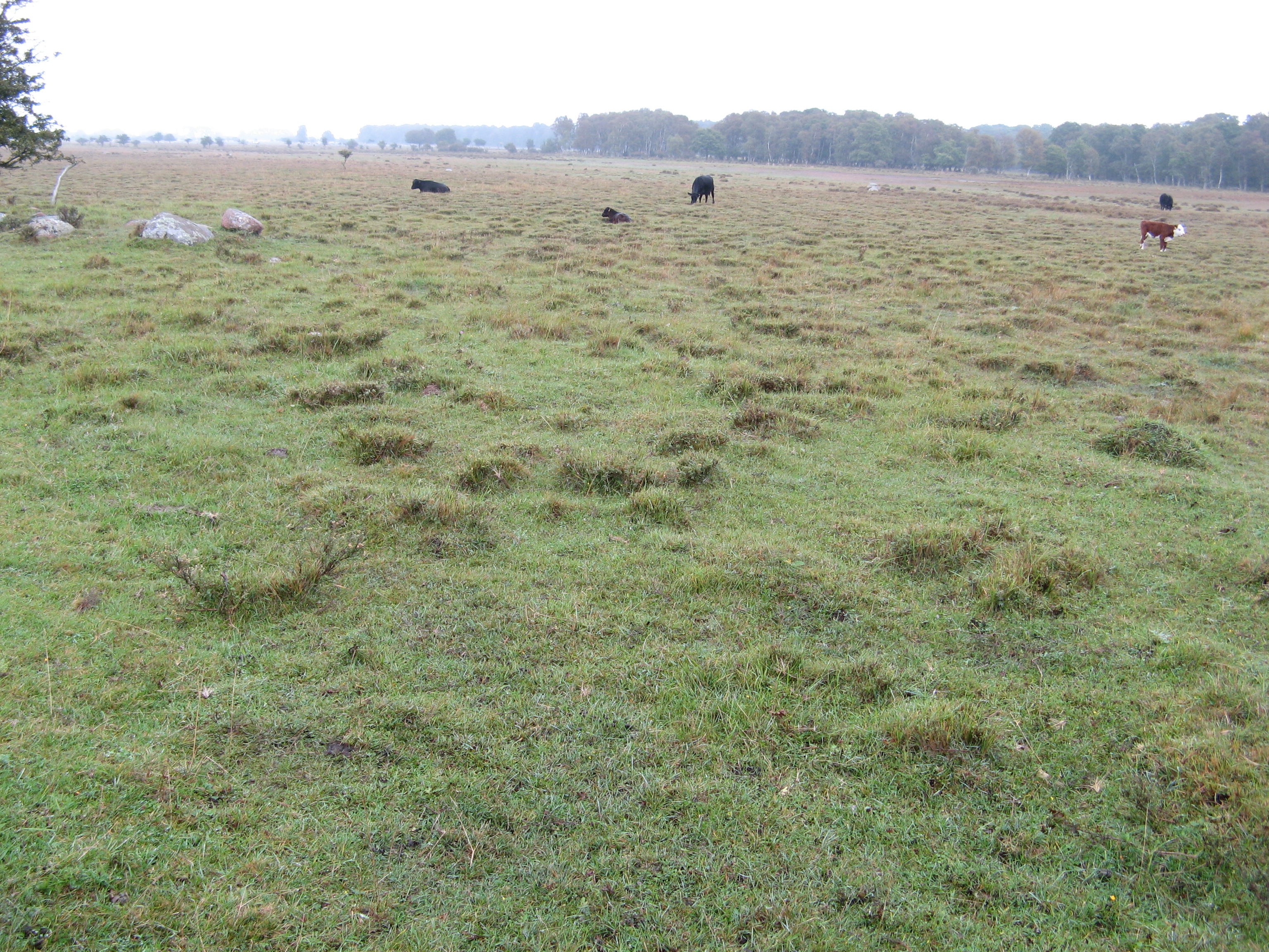
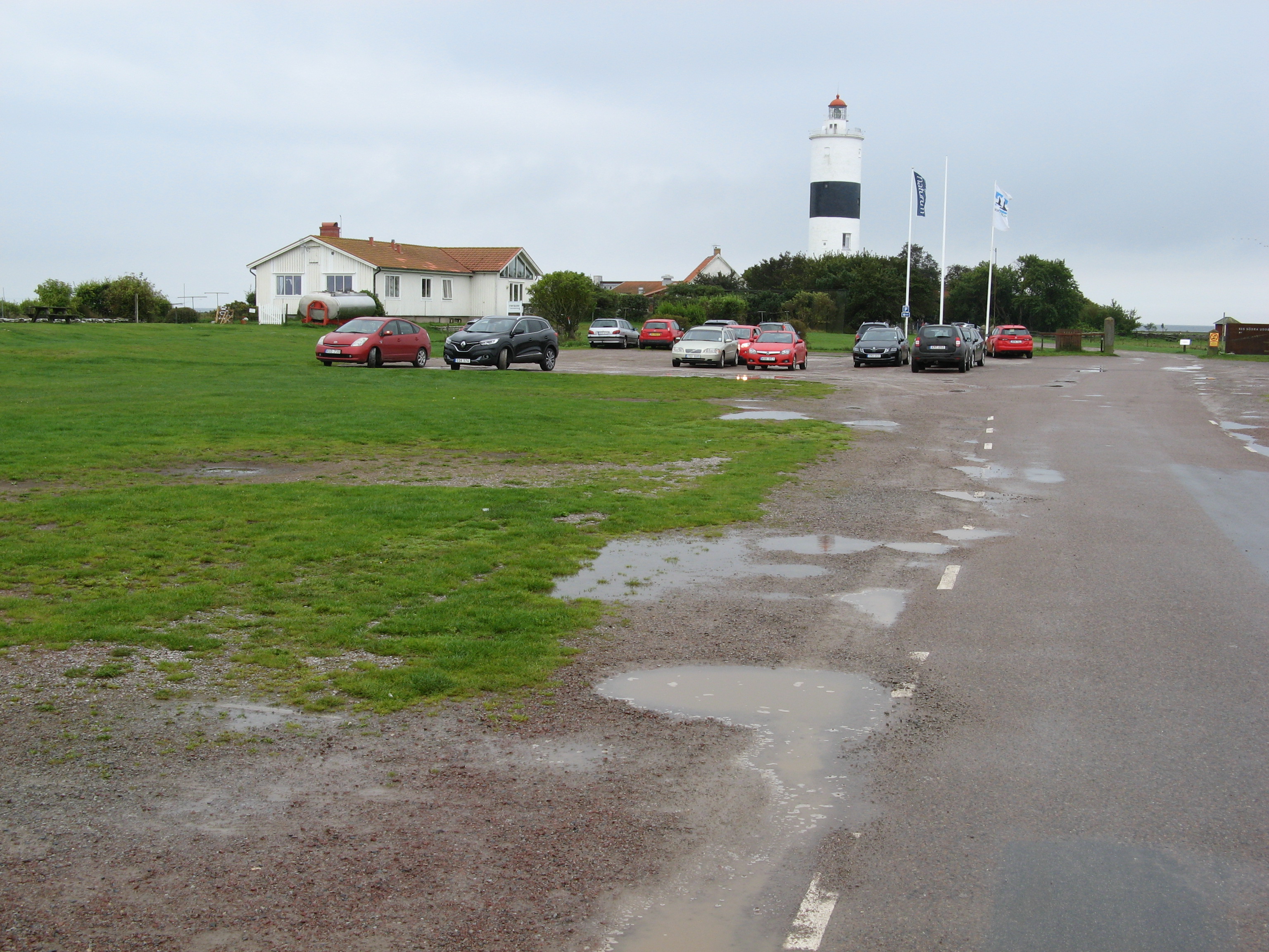
The Site is an island peninsula which comprises wet grasslands, sand and shingle beaches, sandbanks and small bays. It includes extensive pastures, which have probably been used for haymaking since the Iron Age, among them the largest remaining unfertilized hay meadow in Sweden. The grasslands cover around 340 hectares, forming one of the largest coherent coastal grasslands in Sweden. The area is important for large numbers of migrating and breeding birds. The peninsula is surrounded by shallow brackish water that provides important feeding resources for waders and waterfowl, while the abundant seaweed is of crucial importance for fish. The sandbanks are also important for fish and bivalves. The Site was extended in 2017 to match the boundaries of the existing nature reserve and Natura 2000 site. Quite large water areas and shore meadows were added and small areas of open water and non-wetland habitats were excluded. The Site is a popular visitor destination, and there is an ornithological station, birdwatching towers and several walking trails.
Administrative region
Global international designation
- World Heritage site
National legal designation
- Bird sanctuary - Ottenby
- Nature reserve - Ottenby
- Site of national importance for nature conservation - Ottenby
Regional (international) legal designations
- EU Natura 2000
Last publication date:
Download
Ramsar Information Sheet (RIS)
- SE17RIS_1807_en.pdf
- SE17RISformer.pdf
- SE17RISformer_150218.pdf
- SE17_map1503.pdf