Site Ramsar du Complexe W
- Country:
- Benin
- Site number:
- 1668
- Area:
- 926,927.0 ha
- Designation date:
- 02-02-2007
- Coordinates:
- 11°41'13"N 02°41'15"E
- Transboundary Site:
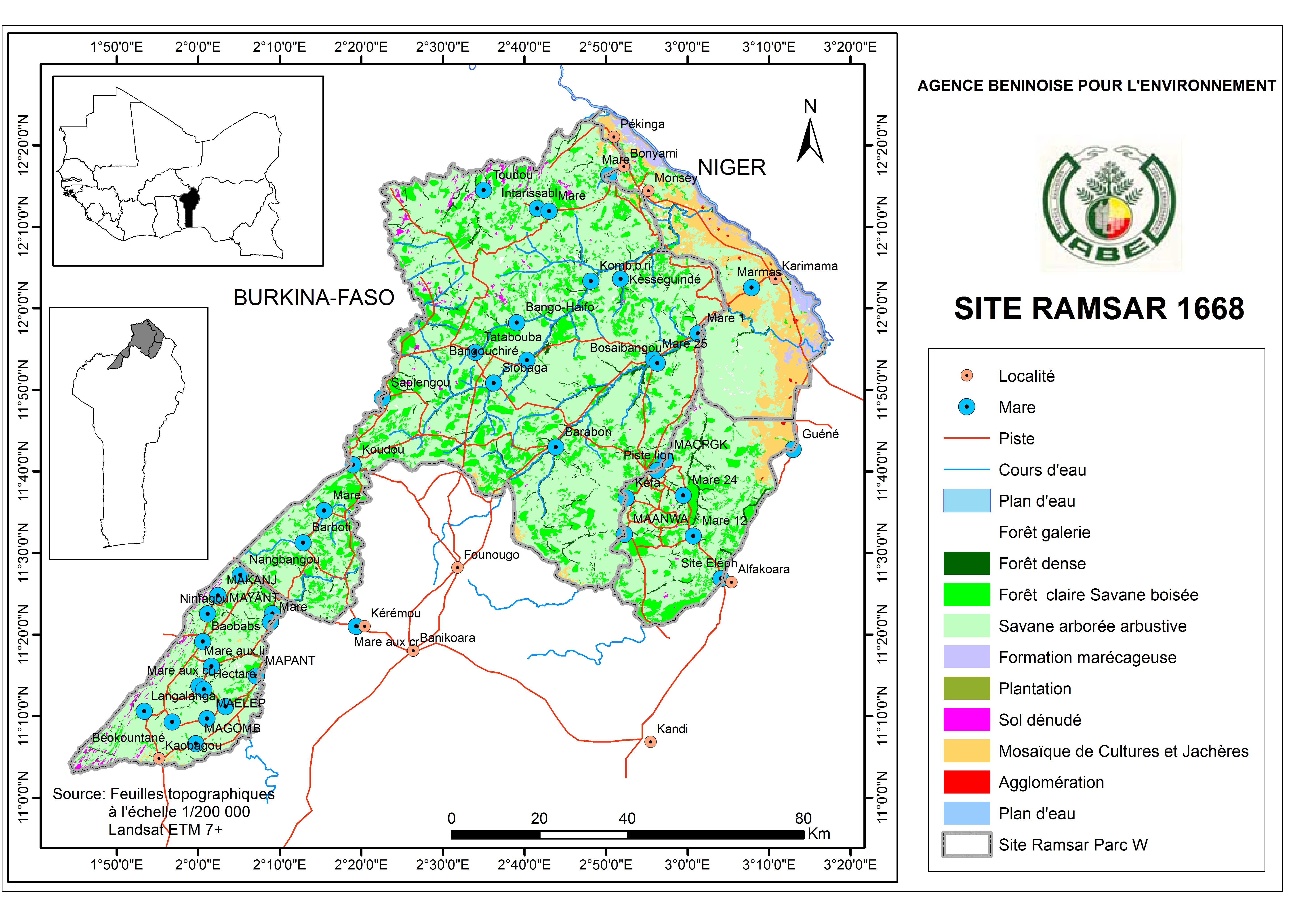
Map
Photos
Overview
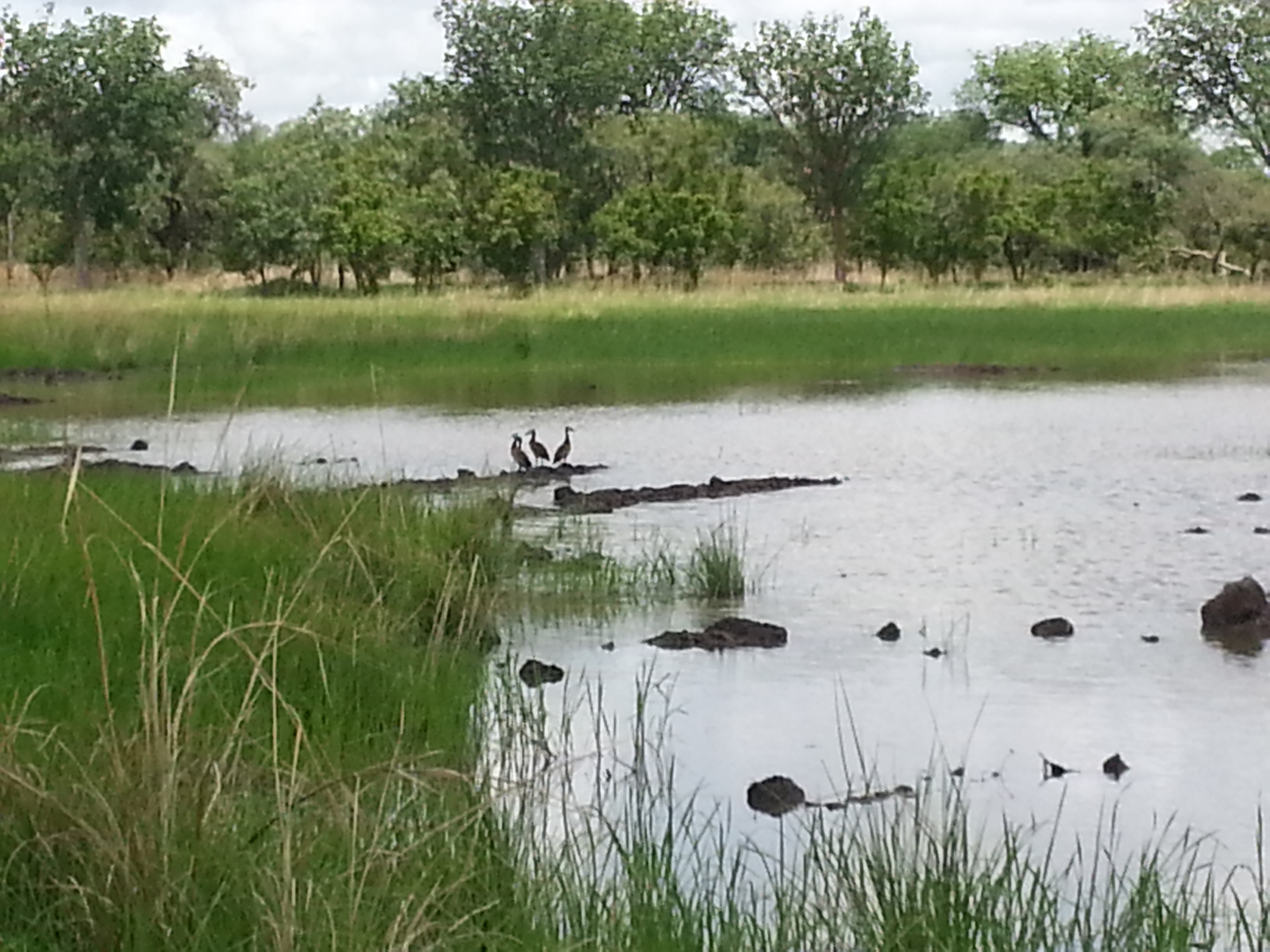
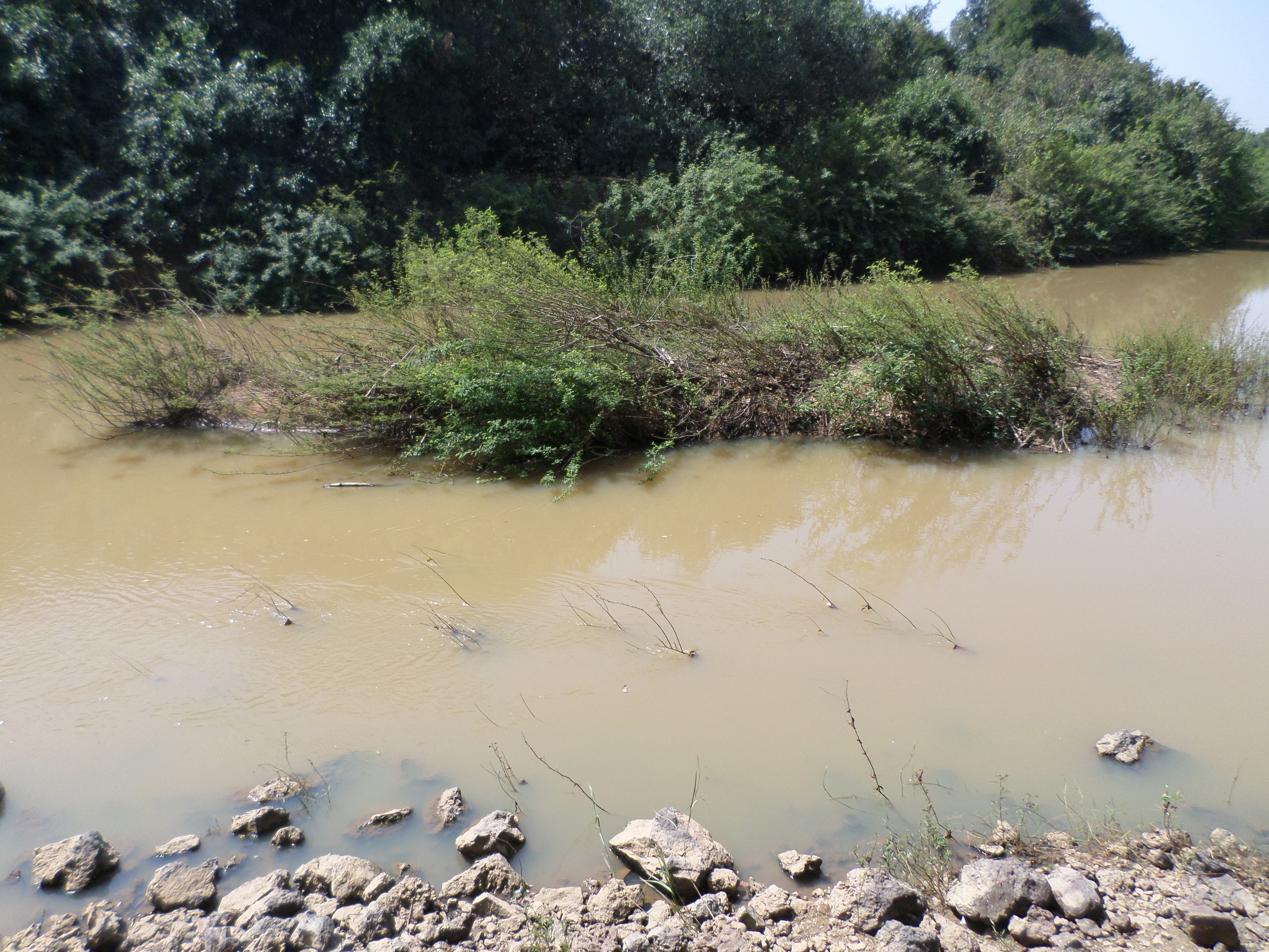
The site includes the National Park of W of Benin and other protected areas, as well as the free zones between the Park and the Niger River (which offer customary use rights to inhabitants). It is bordered by Burkina Faso and Niger with which it shares the W-Arly-Pendjari transboundary Ramsar Site established in 2018. The Site has a diverse and rugged landscape featuring rivers, ponds, meadows and floodplains, gallery forests and savannah. It hosts the most important savannah population of the African elephant in West Africa, as well as cheetah. Its vegetation is characterized by vulnerable plant species such as African rosewood Pterocarpus erinaceus. Significant numbers of waterbirds have been recorded, and the floodplains of the rivers Niger, Mékrou and Alibori offer a breeding ground and passage zone for fish species such as Distichodus rostratus. The Site helps to ensure water availability and quality by receiving and filtering surface water runoff, recharging groundwater, trapping sediment and controlling flooding. It is also important for tourism, environmental education and fish production, and it includes traditionally sacred sites such as the Koudou Falls. Threats to the Site include poaching, illegal farming and grazing, toxic fishing methods and bush fires. Management and restoration plans are currently being implemented, with monitoring of key animals and plants and of the hydrological regime.
Transboundary designation
Administrative region
Global international designation
- World Heritage site
- UNESCO Biosphere Reserve
National legal designation
- Parc National - Parc National du W
- Zone Cynegetique
Last publication date:
Download
Ramsar Information Sheet (RIS)
- BJ1668RIS_1809_fr.pdf
- BJ1668RISformer_180316.pdf
- BJ1668_map180321.jpg
- BJ1668_taxo180320.pdf