Parc National Pongara
- Country:
- Gabon
- Site number:
- 1653
- Area:
- 96,302.0 ha
- Designation date:
- 02-02-2007
- Coordinates:
- 00°07'19"N 09°37'50"E
Map
Photos
Overview
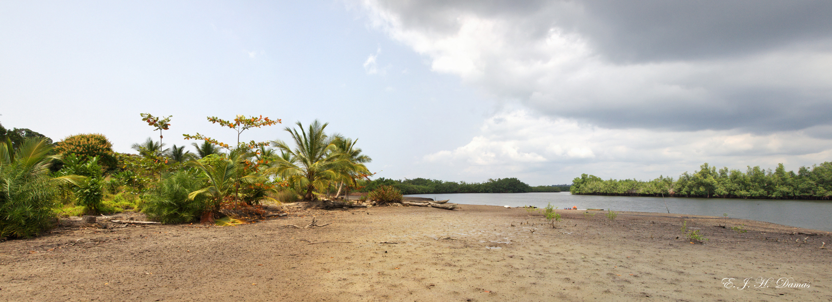
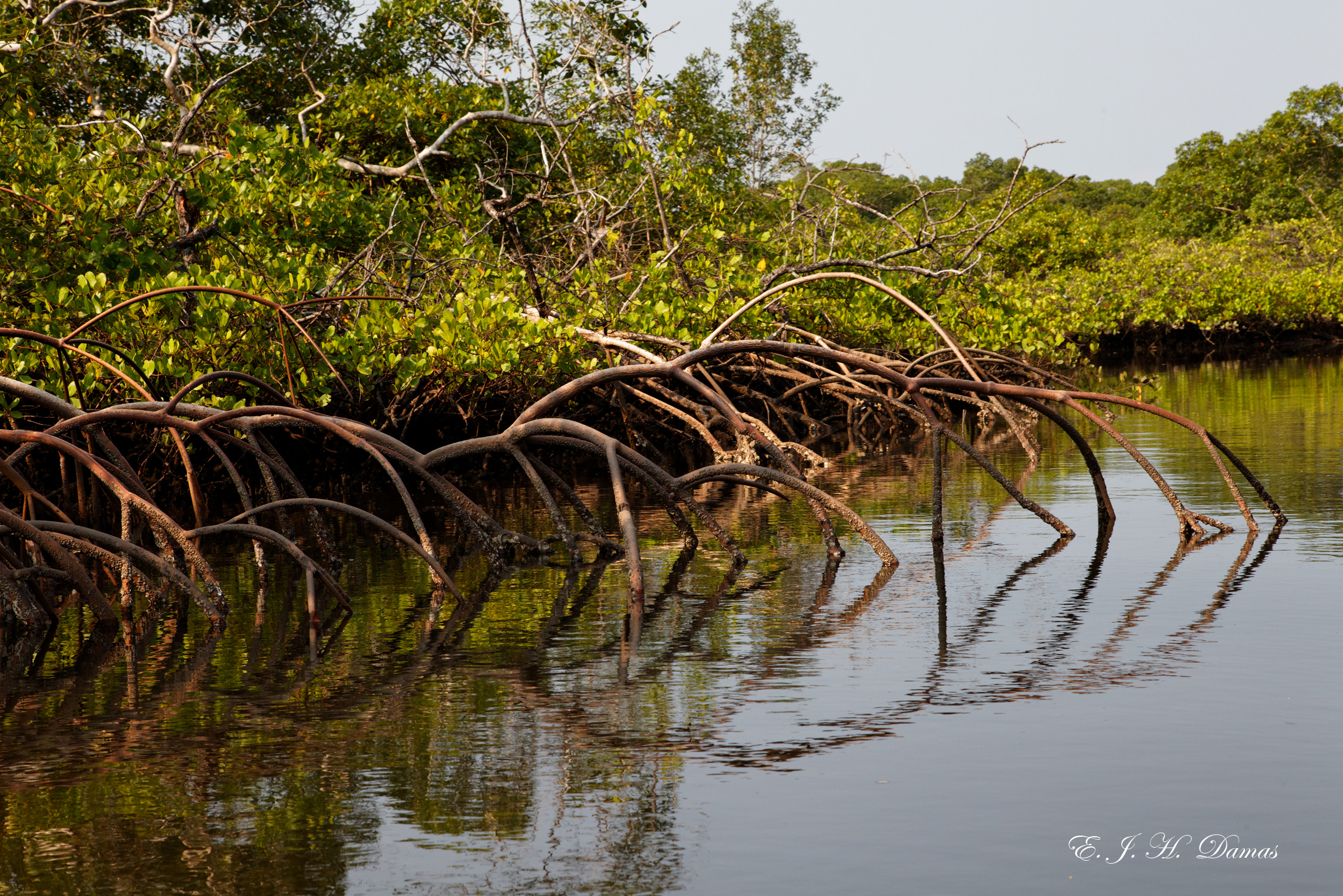
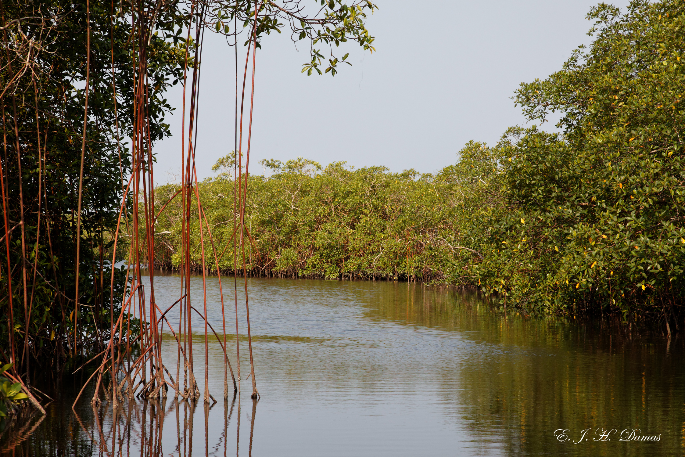
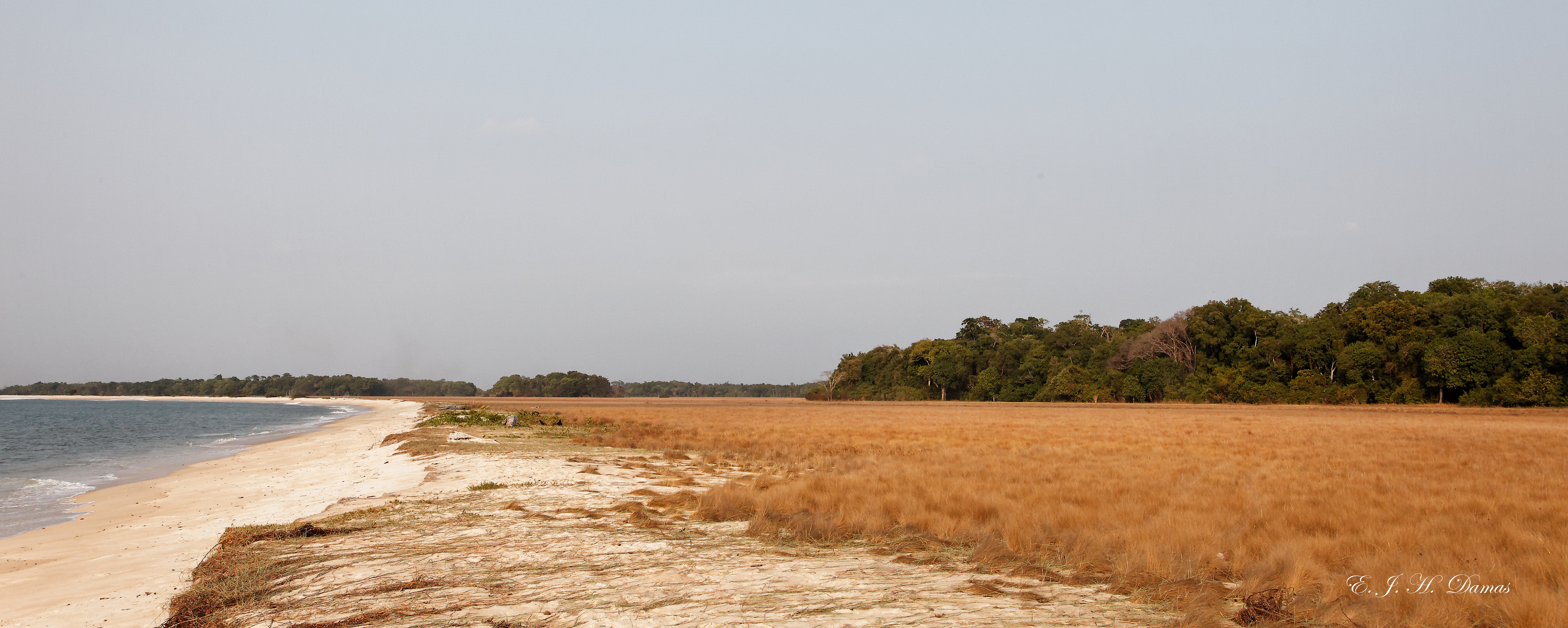
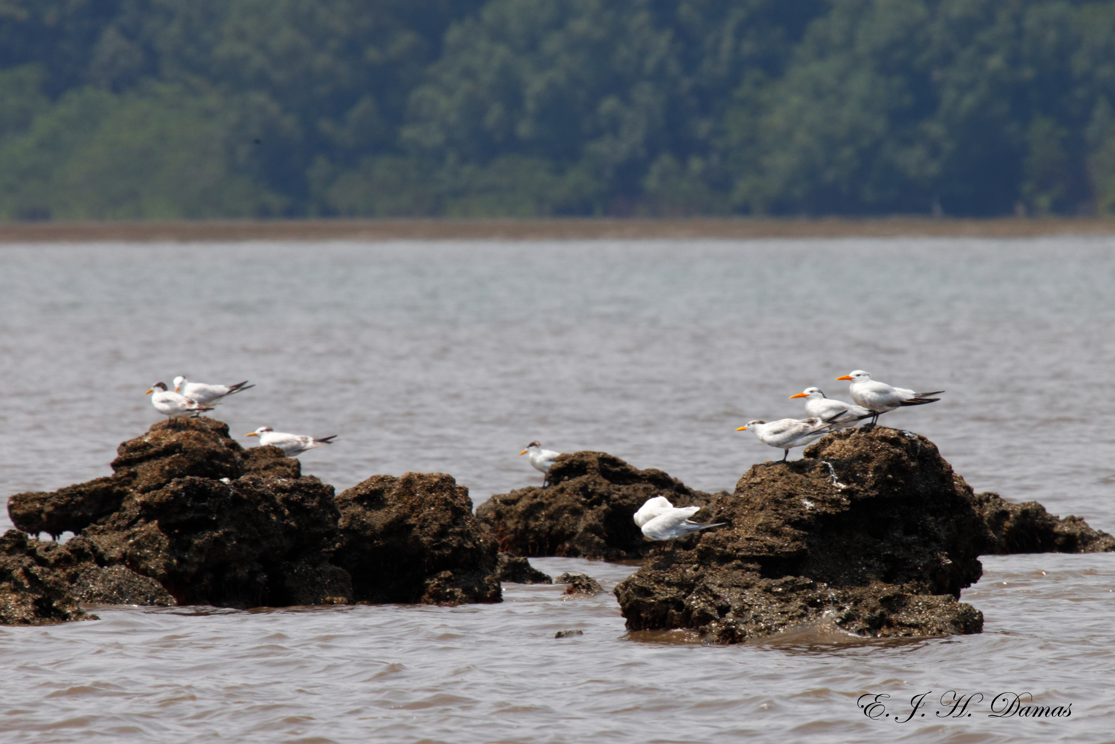
Parc National Pongara is located to the east of the Congo Basin forest, on the southern shores of the Gabon estuary. The Site includes a wide range of mangroves and riverine, swampy, littoral and flooded forest types, grassy savannas. There are several rivers, notably the Remboué, Igombiné and Gomgoué. It is an important breeding ground for the critically endangered leatherback turtle (Dermochelys coriacea), and provides shelter for the critically endangered hawksbill turtle (Eretmochelys imbricata), endangered green turtle (Chelonia mydas), and olive ridley turtle (Lepidochelys olivacea), as well as gorillas, elephants, an important population of migratory birds and up to 10,000 hibernating Palearctic waders. Plant species such as the mangrove trees (Avicennia and Rhizophora species) and the herbaceous Acrostichum aureum help to regulate and stabilize the water flow. The Site has been inhabited since the neolithic era and now hosts Fang, Benga and Sekiani communities. The inhabitants exploit forest wood, and practice hunting, cultivation of banana, cassava and pepper, and especially fishing - the Site is considered a source of food for the whole region. However, non-selective fishing, hunting and forest exploitation within and around the Site pose a threat to the equilibrium of the ecosystem. The National Commission for National Parks has carried out awareness-raising activities, and a management plan has been implemented since 2007.
Administrative region
Province de l'Estuaire
Global international designation
- Other global designation
National legal designation
- Parc national de Pongara - Estuaire
Regional (international) legal designations
- Other international designation
Last publication date:
15-11-2016
Download
Ramsar Information Sheet (RIS)
- GA1653RIS_1611_fr.pdf
- GA1653RISformer_160316.pdf
- GA1653map.pdf
- GA1653_map1606.pdf
- GA1653_mgt1606.pdf