Plaines d'inondation du Logone et les dépressions Toupouri
- Country:
- Chad
- Site number:
- 1560
- Area:
- 2,978,900.0 ha
- Designation date:
- 14-11-2005
- Coordinates:
- 10°30'N 16°13'59"E
Map
Photos
Overview
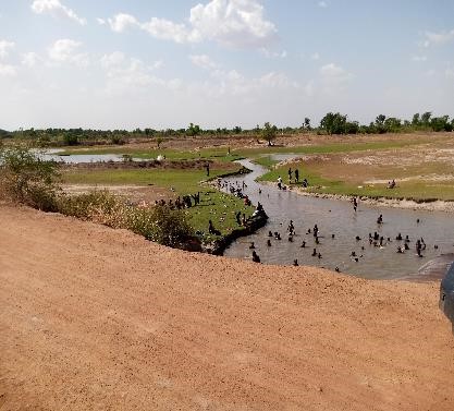
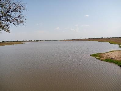
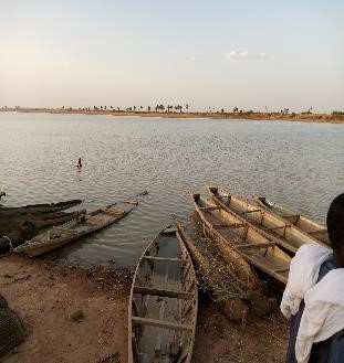
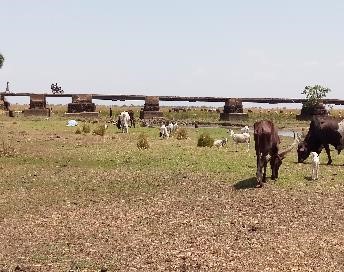
Plaines d'inondation du Logone et les dépressions Toupouri. 14/11/05; Chari-Baguirmi, Mayo-Kebbi, Tandjilé; 2,978,900 ha; 10°30'N 016°14'E. One of Africa's largest wetlands, characterized by a succession of rivers, lakes, floodplains and permanent and temporary ponds. The different ecosystems support typical faunal and floral associations, among which are some locally threatened plant species such as the African Palmyra palm and the Néré (Parkia biglobosa). The site also hosts important Occidental Palearctic and Ethiopian migratory species such as the Black Crowned-Crane, the Spur-winged Goose and Dendrocygna species. The floodplains also play an essential role in providing spawning and nursery sites for numerous fish families, which are exploited by the locals throughout the year, using different fishing practices according to season and location. Men are responsible for fishing, while women dry and smoke the fish which is then commercialized. Animal raising, subsistence agriculture (rice, sorghum, taro), a faunal reserve in the northern part, and oil prospecting are other land-uses in the site. Deforestation, poaching, water extraction, pesticide pollution and oil extraction are some of the threats arising from within the site, while irrigation, oil mining and cement production threaten the site's integrity from outside. A management plan is envisaged under the GEF/ World Bank/ UNDP Lake Chad Basin Commission project. Ramsar site no. 1560. Most recent RIS information: 2005.
Administrative region
Chari-Baguirmi / Mayo-Kebbi / Tandjilé
Last publication date:
14-11-2005