Keramashoto Coral Reef
- Country:
- Japan
- Site number:
- 1546
- Area:
- 8,290.0 ha
- Designation date:
- 08-11-2005
- Coordinates:
- 26°12'19"N 127°21'17"E
Map
Photos
Overview
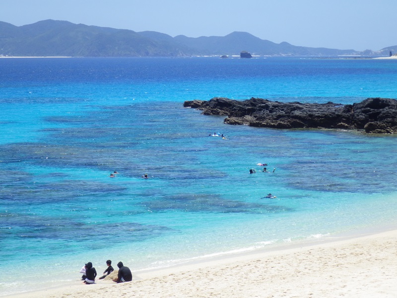
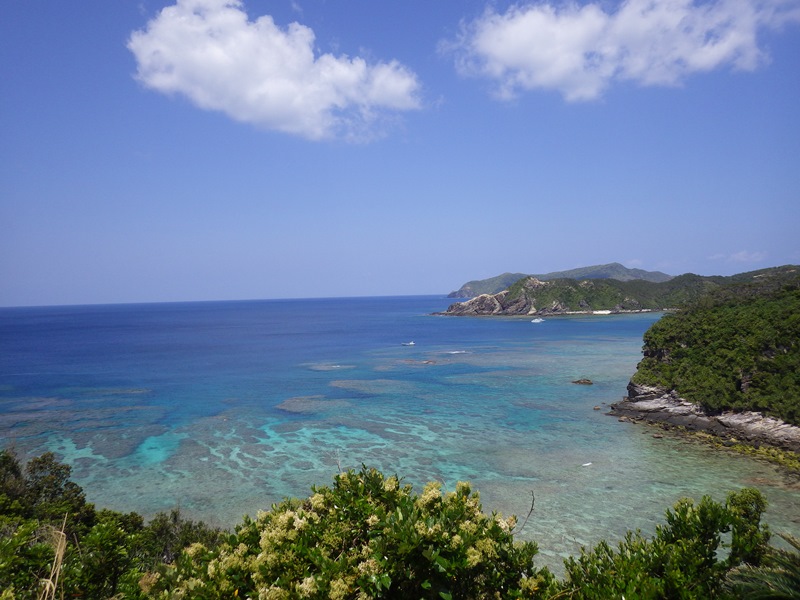
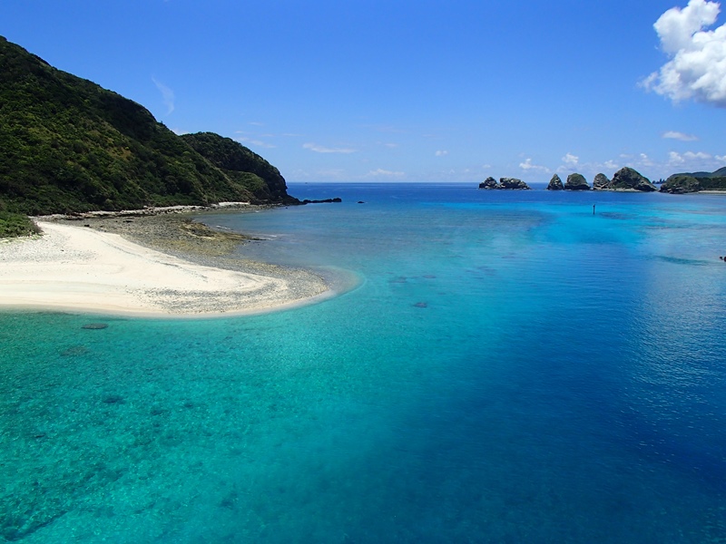
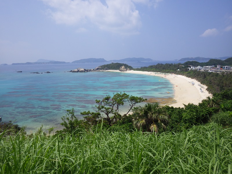
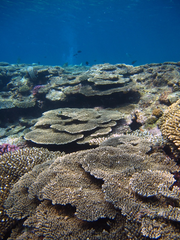
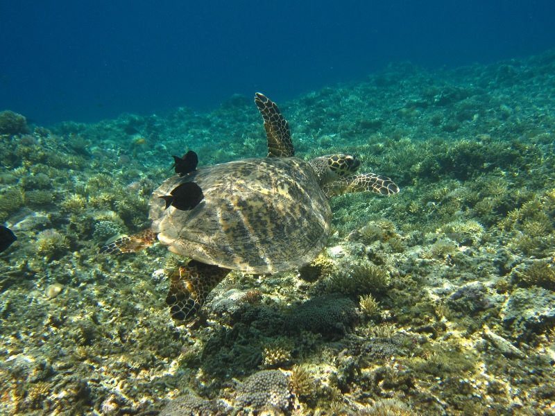
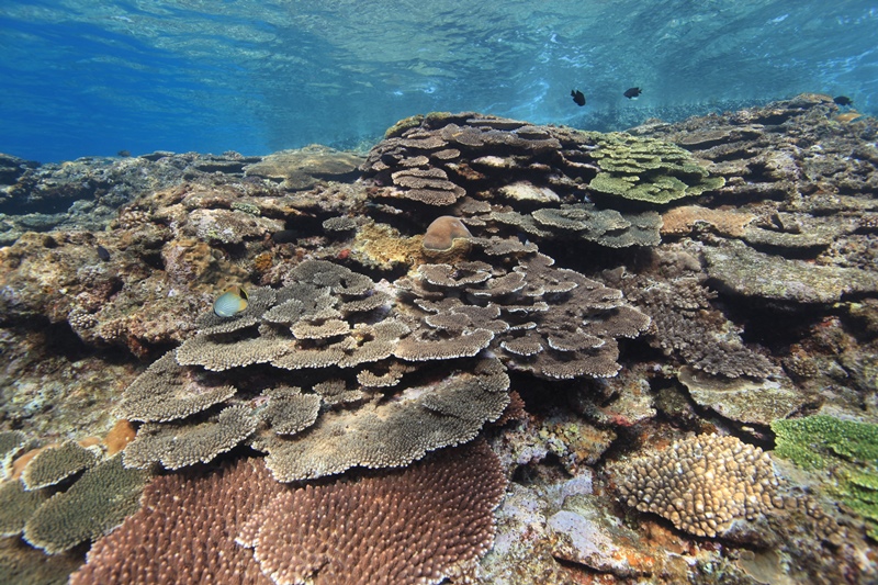
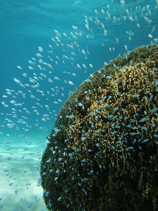
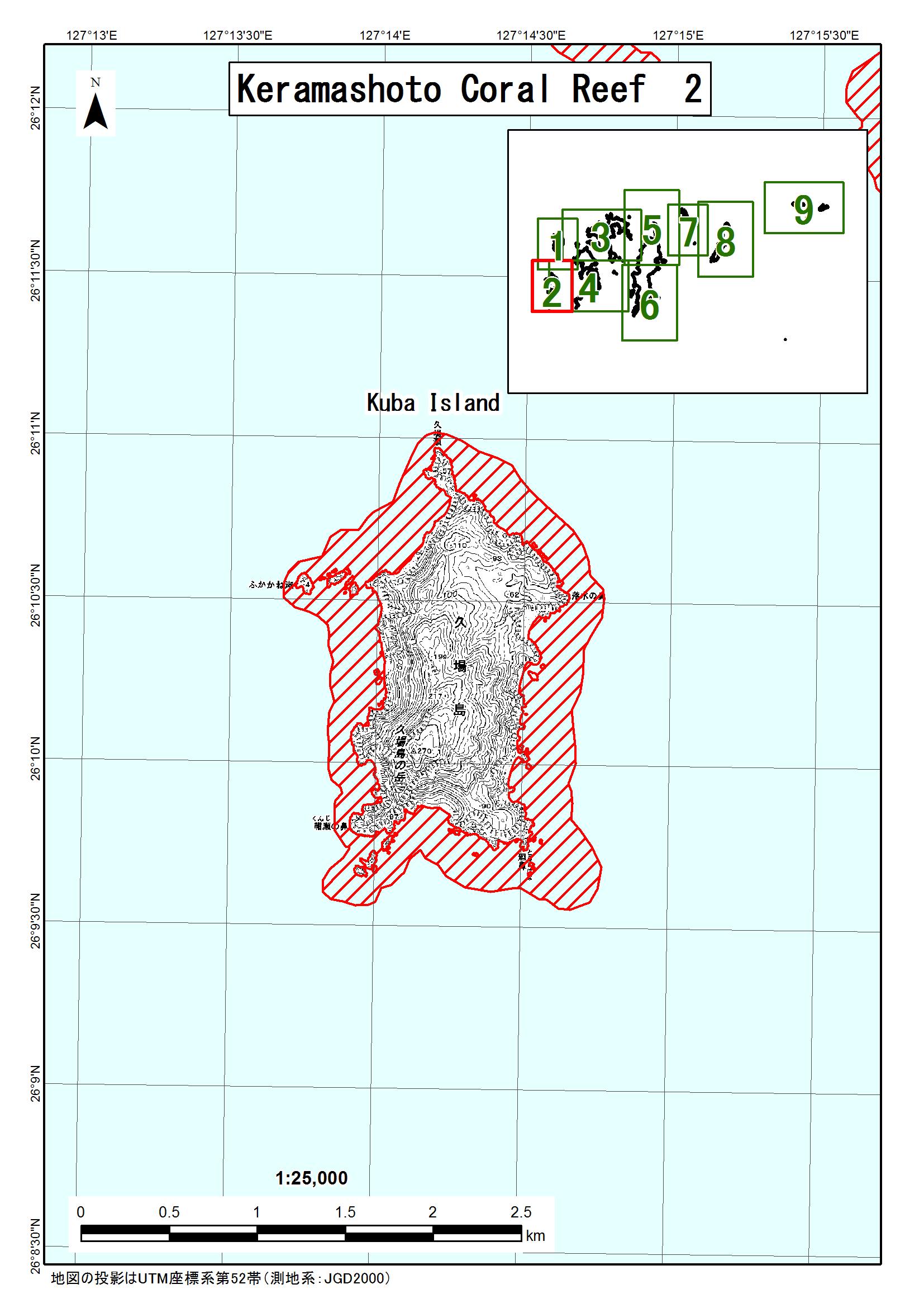
The Keramashoto Coral Reef is located in Okinawa Prefecture, southern Japan. Originally designated as a Ramsar Site in 2005 with an area of 353 hectares, its area was greatly increased in 2015 to 8,290 ha. The boundary now overlaps with that of the Marine Park Area within Keramashoto National Park. The Ramsar Site is internationally important as a representative of the coral reef ecosystem in the Ryukyu Islands biogeographic region, as well as for its biodiversity. Tabular, branching, horn-shaped, mound, and sheet reef-building corals are densely distributed in the water. The fringing reefs are especially well-developed, with 248 species, 59 genera and 14 families of reef-building corals accounting for about 62% of such species in Japan. The Site is also an important feeding, spawning and larva nursery area for some 360 species of coral reef fish such as damselfish and clownfish (Pomacentridae), butterflyfish (Chaetodontidae) and wrasse (Labridae). Globally threatened species include the critically endangered hawksbill turtle (Eretmochelys imbricata), and the endangered green turtle (Chelonia mydas) and loggerhead (Caretta caretta) that breed in summer. Keramashoto Coral Reef and the surrounding areas are among the most beautiful marine waters in Japan and are highly valued for nature observation and tourism. Two nearby villages have developed a programme to conserve the coral reefs and to promote sustainable resource use.
Administrative region
Tokashiki village and Zamami village (Keramashoto Islands), Okinawa Prefecture, Kyushu/Okinawa Region. Keramashoto Coral Reef is located in the surrounding ocean area of Keramashoto Islands, 20-40 km west of Naha City on the mainland of Okinawa.
National legal designation
- Marine Park Area of National Park - Marine Park Area within Keramashoto National Park
Last publication date:
29-05-2015
Download
Ramsar Information Sheet (RIS)
- JP1546RIS_1505_en.pdf
- JP1546RISformer_150423.pdf
- JP1546_map1505.jpg
- JP1546_map15051.jpg
- JP1546_map15052.jpg
- JP1546_map15053.jpg
- JP1546_map15054.jpg
- JP1546_map15055.jpg
- JP1546_map15056.jpg
- JP1546_map15057.jpg
- JP1546_map15058.jpg
- JP1546_map15059.jpg