Humedales del Lago de Pátzcuaro
- Country:
- Mexico
- Site number:
- 1447
- Area:
- 707.0 ha
- Designation date:
- 02-02-2005
- Coordinates:
- 19°34'N 101°40'W
Map
Photos
Overview
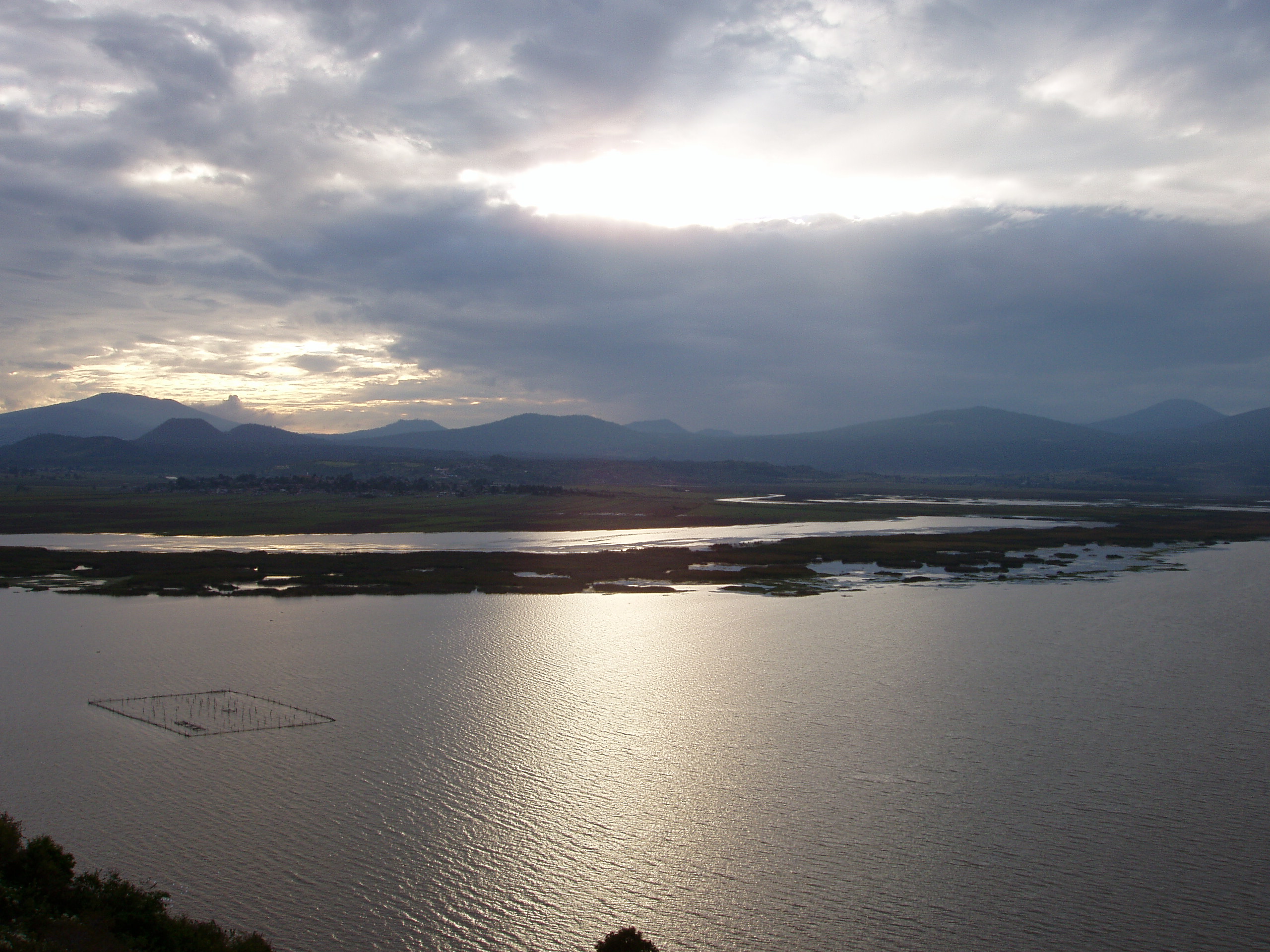
Humedales del Lago de Pátzcuaro. 02/02/05; Michoacán; 707 ha: 19°34'N 101°40'W. The southwestern sector of Lake Pátzcuaro, lying at 2,035 meters asl in an endorrheic basin of volcanic origin, is the shallowest area of the lake, with extensive areas of marshes of American bulrush Scirpus americanus, Cattail Typha latifolia, Grassleaf arrowhead Sagitaria graminea and Black flatsedge Cyperus niger, as well as communities of Banana waterlily Nymphaea mexicana and Illinois pondweed Potamogeton illinoensis. The lake is rich in endemic fish species such as the Bulldog goodeid Alloophorus robustus, Chirostoma estor, Algansea lacustris, Goodea luitpoldii and the molluscs Opeas patzcuarense and Potamopyrgus patzcuarensis. It also provides habitat for two globally endangered species: the Black-Polled Yellowthroat Geothlypis speciosa and the salamander Ambystoma dumerilii. Surrounding areas are densely populated and the lake has provided livelihoods for the P'urepecha indigenous people and their descendants. The lake is renowned worldwide for hosting the Day of the Dead celebrations in November in several of the villages on its shores and islands. Problems arise from eutrophication and siltation due to erosion in the basin, disposal of untreated waters from agriculture and urban areas, overfishing and invasive species. There is a permanent dredging program of silted areas and an ongoing plan to recover populations of Chirostoma estor. Ramsar site no. 1447. Most recent RIS information: 2004.
Administrative region
Michoacán
Last publication date:
02-02-2005