Dayet El Ferd
- Country:
- Algeria
- Site number:
- 1419
- Area:
- 3,323.0 ha
- Designation date:
- 12-12-2004
- Coordinates:
- 34°29'55"N 01°14'23"W
Map
Photos
Overview
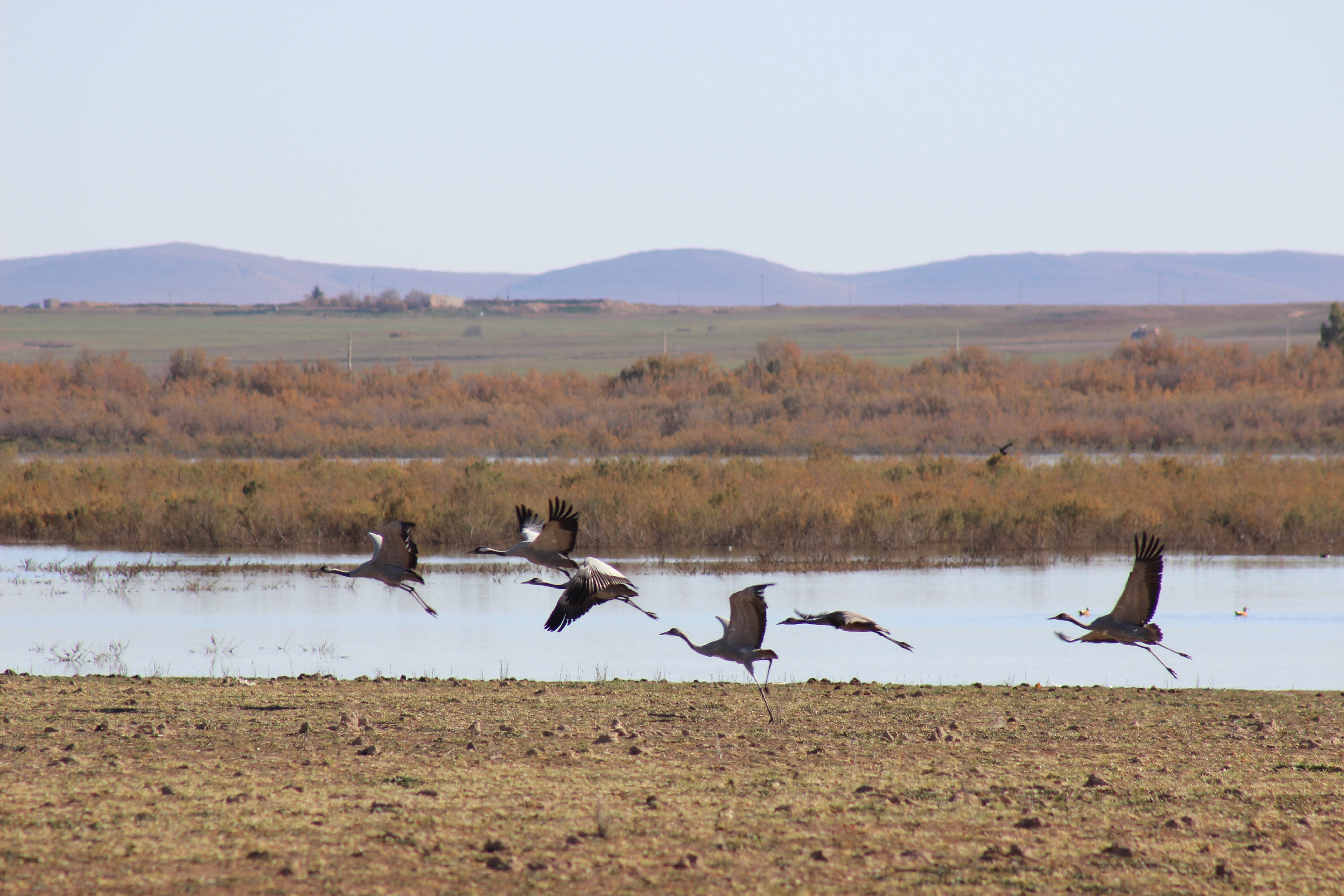
Dayet El Ferd, on the high steppe plains of Tlemcen, is a permanent endorheic depression surrounded by pastures and cereal fields. The edges of the brackish daya (lake) are dominated by tamarisk shrubs and serve as refuge and nesting sites for various species. The open water area hosts a wide range of birds including greater flamingo Phoenicopterus roseus, common crane Grus grus, ruddy shelduck Tadorna ferruginea, common coot Fulica atra, raptors and waders. There are also some unidentified amphibians. The only local activity is agriculture, with some water being extracted from the lake. In the past, taxes were collected from passing caravans; today the Site hosts a weekly market, which makes it ideal for combining ecotourism with scientific and cultural research. There are plans to transform the Site into a nature reserve to be linked to Tlemcen National Park.
Administrative region
Last publication date:
Download
Ramsar Information Sheet (RIS)
- DZ1419RIS_1804_fr.pdf
- DZ1419RISformer_161020.pdf
- DZ1419map.pdf