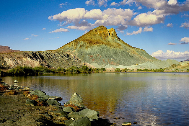
Le Cirque de Aïn Ouarka
- Country:
- Algeria
- Site number:
- 1300
- Area:
- 2,350.0 ha
- Designation date:
- 06-04-2003
- Coordinates:
- 32°42'38"N 00°10'11"W
Map
Photos
Overview
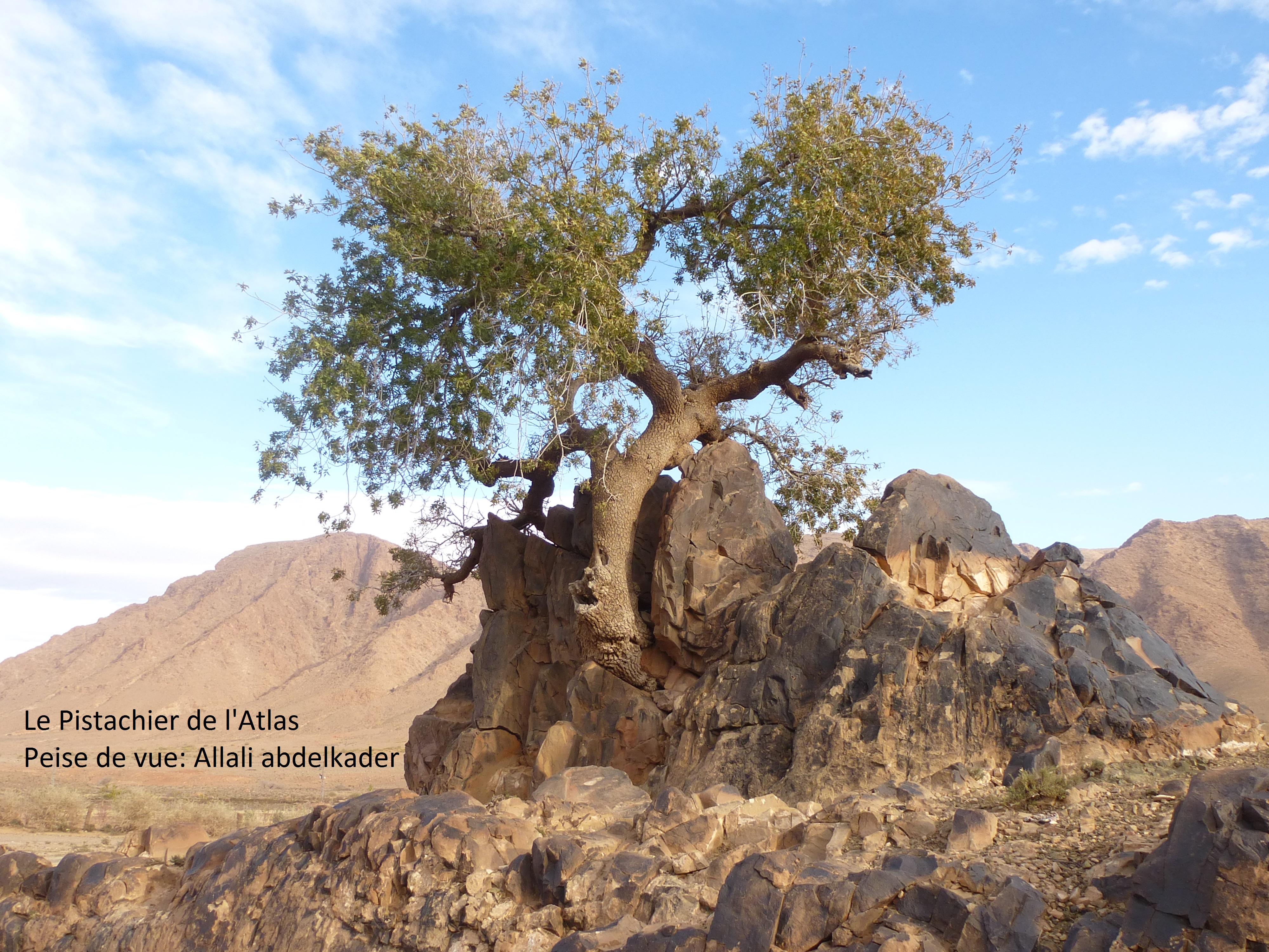
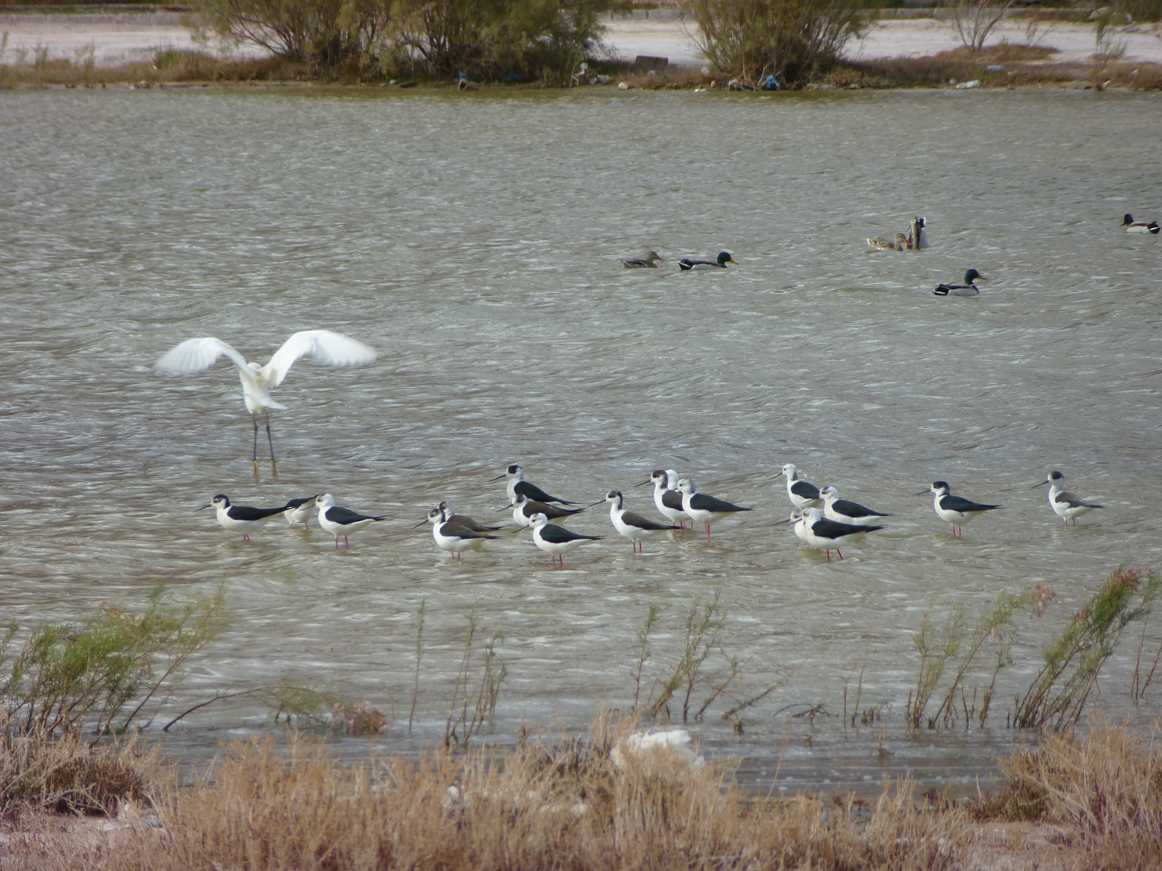
Known by geologists as a “cirque” or amphitheatre-like bowl, this geothermal wetland in the Ksour Mountains of the Sahara Atlas is a basin circumscribed by abrupt mountains rising to a height of 1,672 metres, featuring cold and hot springs. The water from the thermal sources is used as a curative spa, while the cold springs provide drinking water for the local population. The springs also feed two ponds whose water contains dissolved salts from the surrounding gypsosaline clay. This type of geothermal wetland is extremely rare in the Mediterranean area. The site is famous for ancient hydrotherapy practices and traditional salt exploitation, and it is an excellent biotope for at least two nationally protected plant species, Pistacia atlantica and Helianthemum lippii. Most remarkable is the presence of the dorcas gazelle (Gazella dorcas) and mountain gazelle (Gazella gazella), which are both classified as vulnerable in the IUCN Red List. A survey of the site’s plants has shown that 23% are endemic, including 15 species which are geographically limited to south-western Algeria.
Administrative region
Last publication date:
Download
Ramsar Information Sheet (RIS)
- DZ1300RIS_2008_fr.pdf
- DZ1300RISformer_161020.pdf
- DZ1300_map1602.pdf