Grevelingen
- Country:
- Netherlands (Kingdom of the)
- Site number:
- 1272
- Area:
- 13,753.0 ha
- Designation date:
- 29-08-2000
- Coordinates:
- 51°42'40"N 04°00'13"E
Map
Photos
Overview
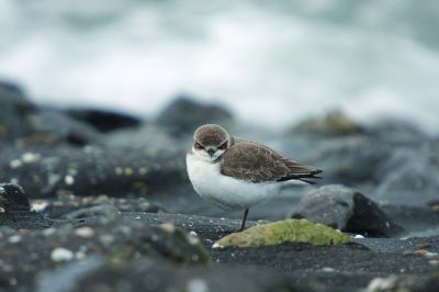
The Site is an intertidal area which was part of the estuary of the Rhine and Maas (Meuse) rivers until it was cut off from the North Sea in 1971. It is now a stagnant saline lake, mostly bordered by dykes, with some islets, sand dunes and wet meadows. In 2014 the Site was aligned with the Natura 2000 site, and recreational areas, roads and agricultural land covering 116 hectares were excluded. The Site is particularly important for waterbirds: it supports large congregations with annual peaks averaging over 67,000 birds, while more than 1% of the biogeographical populations of 13 species of breeding and wintering birds are present. The main human uses are commercial fishing, water management, boating, tourism and leisure activities. Threats include encroaching industrialization and urbanization, discharge of non-industrial pollutants and expanding recreational activities. Plans to partly restore tidal dynamics are in place to counteract eutrophication.
Administrative region
National legal designation
- National Ecological Network (NEN) - Grevelingen
Regional (international) legal designations
- EU Natura 2000
Last publication date:
Download
Ramsar Information Sheet (RIS)
- NL1272RIS_2211_en.pdf
- NL1272RISformer_210608.pdf
- NL1272RISformer_EN.pdf
- NL1272_map211025.pdf