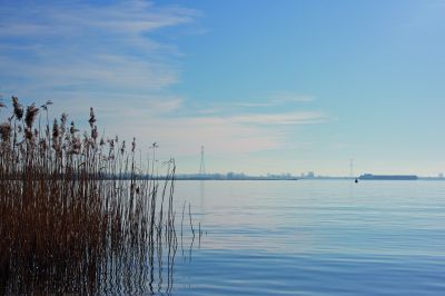
Zoommeer
- Country:
- Netherlands (Kingdom of the)
- Site number:
- 1253
- Area:
- 1,171.0 ha
- Designation date:
- 29-08-2000
- Coordinates:
- 51°29'51"N 04°13'04"E
Map
Photos
Overview
The Site is a stagnant freshwater lake which is separated from the Oosterschelde estuary by a dam constructed in 1986. It forms a hydrological unit with the Krammer-Volkerak Ramsar Site (Site no. 747) through the Rhine-Schelde canal. In 2014 the Ramsar Site boundary was aligned with the Natura 2000 boundaries, and some recreational land and a dyke were excluded. The Molenplaat area, although not part of the Natura 2000 site, is included in the Ramsar Site. In total the area decreased by 20 hectares. The wetland is in the process of changing from a marine tidal system into a stagnant freshwater lake, resulting in changes in the composition of plant and animal species; however the potential reintroduction of salt water has been presented as a management option to combat annual algal blooms. The Site is of international importance for threatened breeding waterbirds such as the Mediterranean gull (Ichthyaetus melanocephalus), common tern (Sterna hirundo) and avocet (Recurvirostra avosetta). It also supports more than 1% of the north-west European population of the gadwall (Anas strepera). The primary human activities relate to boating, commercial fisheries, shipping traffic, tourism, dairy farming and water management. The main threats affecting the Site’s ecological character include non-industrial pollution leading to an increase in eutrophication, and intensive livestock grazing.
Administrative region
National legal designation
- National Ecological Network (NEN) - Zoommeer
Regional (international) legal designations
- EU Natura 2000