Lake Bisina Wetland System
- Country:
- Ouganda
- Site number:
- 1633
- Area:
- 54,229.0 ha
- Designation date:
- 15-09-2006
- Coordinates:
- 01°43'N 33°54'E
Carte
Photos
Vue d'ensemble
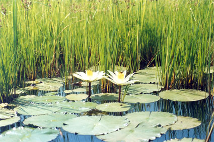
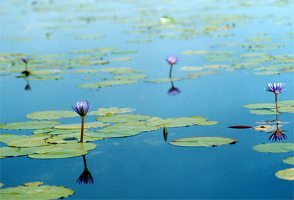
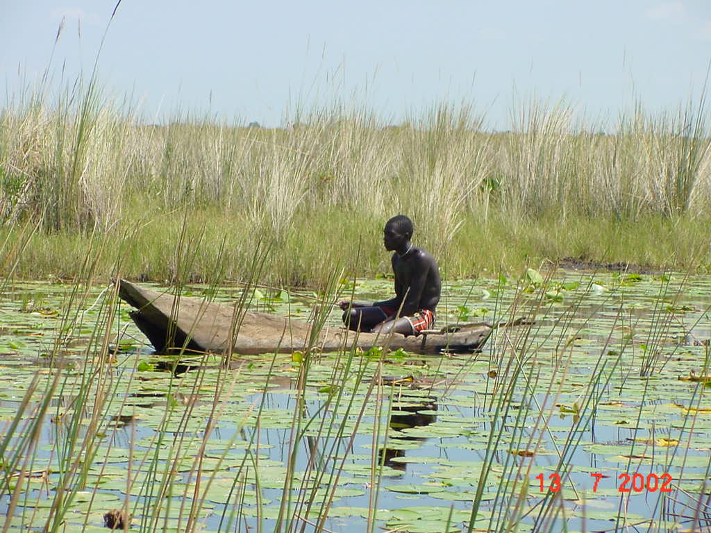
Lake Bisina Wetland System. 15/09/06; Kumi, Katakwi, Soroti; 54,229 ha; 01°43'N 033°54'E. Important Bird Area. A shallow freshwater lake with a thin strip of fringing papyrus swamp, part of the Lake Kyoga Basin lakes. Water lilies, a declining habitat in much of Uganda, dominate the shallow areas, which is important for its diversity of macrophytes. It is used as a feeding ground by wading birds, including the globally vulnerable Shoebill (Balaeniceps rex). The system is also important as a refuge for fish species that have gone extinct in the main Ugandan lakes such as Lakes Victoria and Kyoga. The lake is very important for the surrounding communities in terms of fishing, transport, and supply of water for domestic use and livestock. It is especially critical during times of famine, e.g., a rhizome of the Nymphea genus is used as food during droughts. The site falls outside the Karamoja Protected Area system and there are no legal protections proposed. A community-based management plan has been prepared, and a local fisheries association promotes sustainable fisheries development. Ramsar site no. 1633. Most recent RIS information: 2006.
Administrative region
Kumi, Katakwi, Soroti
Last publication date:
15-09-2006
Téléchargement
Ramsar Information Sheet (RIS)
- UG1633RIS.pdf
- UG1633map.pdf