Jaluit Atoll Conservation Area
- Country:
- Îles Marshall
- Site number:
- 1389
- Area:
- 69,000.0 ha
- Designation date:
- 13-07-2004
- Coordinates:
- 06°00'N 169°34'E
Carte
Photos
Vue d'ensemble
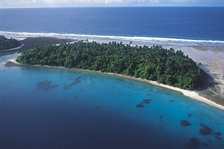
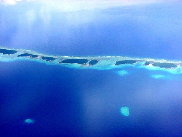
Jaluit Atoll Conservation Area. 13/07/04; Jaluit Atoll district; 69,000 ha; 06°00'N 169°34'E. Conservation Area. A large coral atoll comprising 91 islets with a land area of 700 ha enclosing a large lagoon and including diverse and relatively pristine marine and terrestrial habitats, such as reefs, sandflats, seagrass beds, mangroves, and sand cays. There is a considerable range of relatively healthy marine species populations of reef fish and invertebrates, and though terrestrial species are more limited there are turtle nesting beaches and seabird roosting islands in relatively stable conditions. Fewer than 2000 people practice a subsistence lifestyle. Traditional land ownership and resource management has been effective, but as resource uses fall increasingly under local government councils there has been a decline in sustainable management awareness and practices. Potential threats include over-harvesting, especially of marine species for off-island markets, and the prospect of rising sea levels associated with global warming. A management plan is in effect. Ramsar sites no. 1389. Most recent RIS information: 2004.
Administrative region
Jaluit Atoll
National legal designation
- Jaluit Atoll Conservation Area (JACA)
Last publication date:
13-07-2004
Téléchargement
Ramsar Information Sheet (RIS)
- MH1389RIS.pdf
- MH1389_map1602.pdf