Butrint
- Country:
- Albanie
- Site number:
- 1290
- Area:
- 13,500.0 ha
- Designation date:
- 28-03-2003
- Coordinates:
- 39°49'59"N 20°00'E
Carte
Photos
Vue d'ensemble
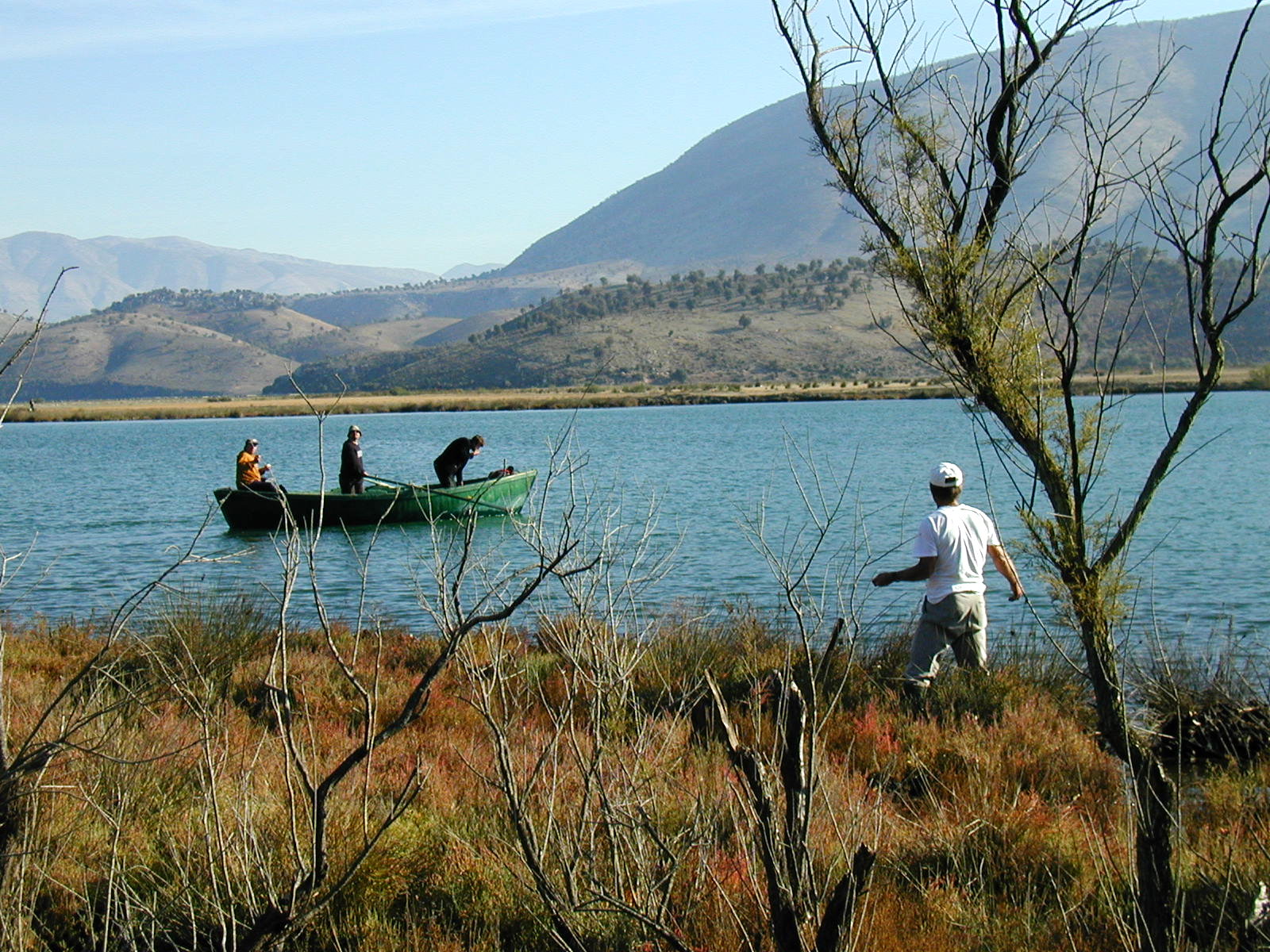
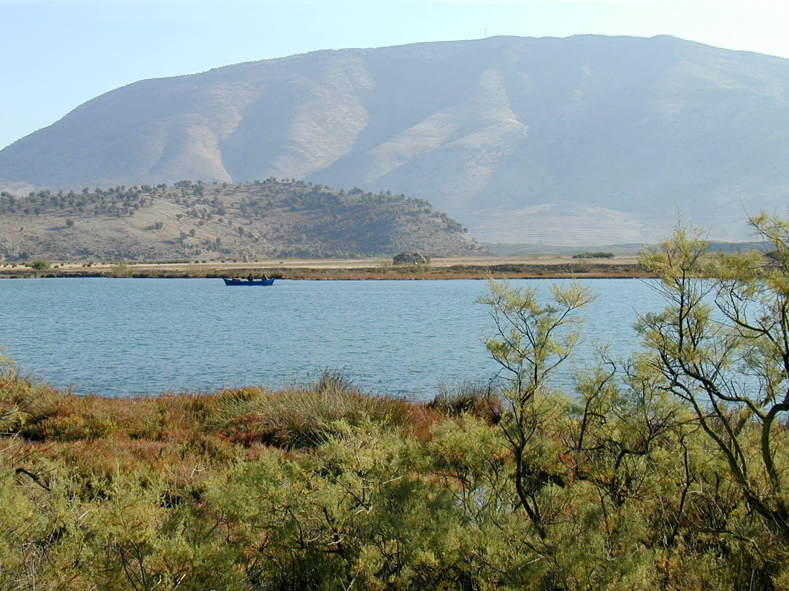
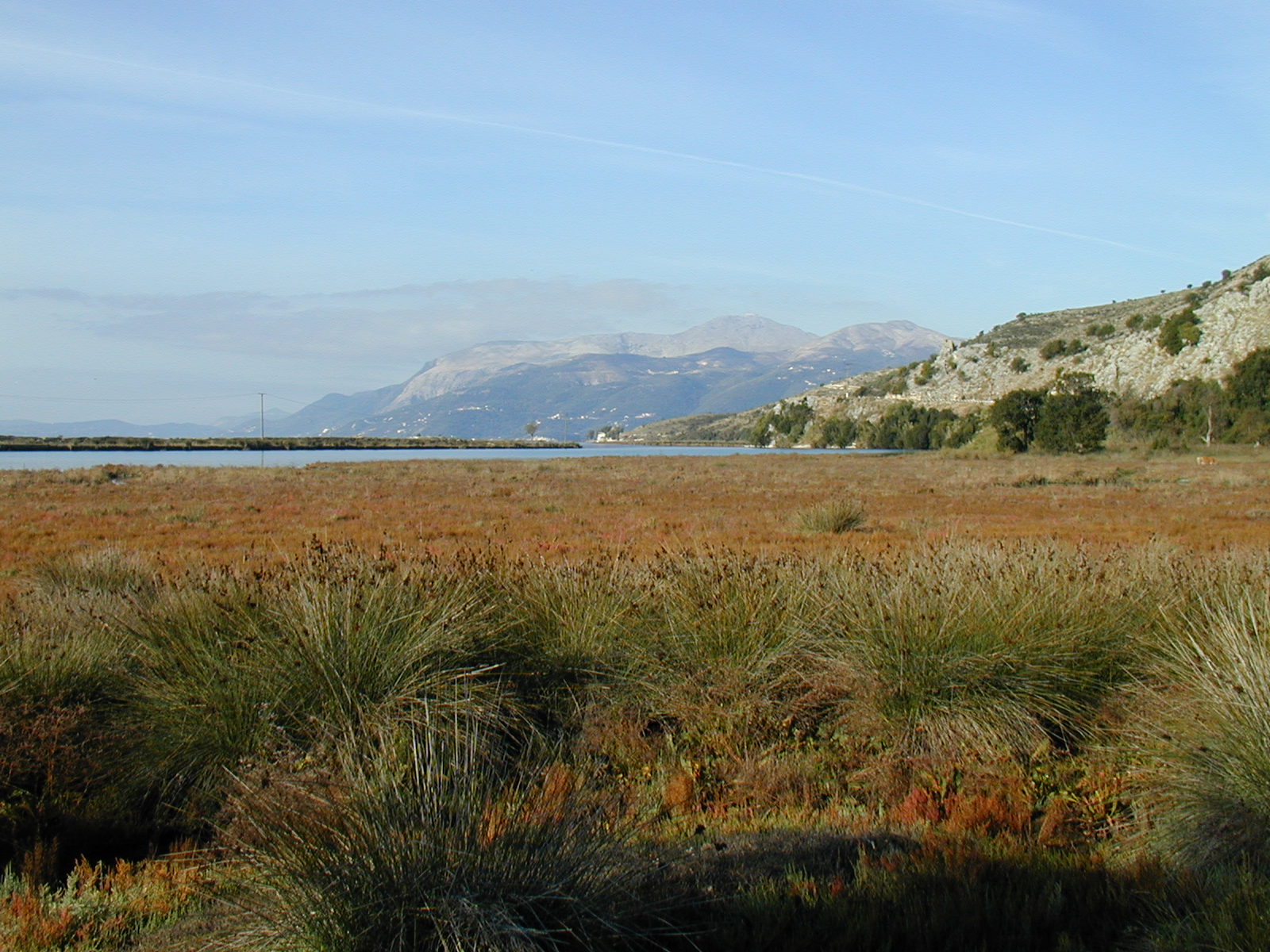
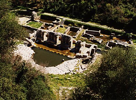
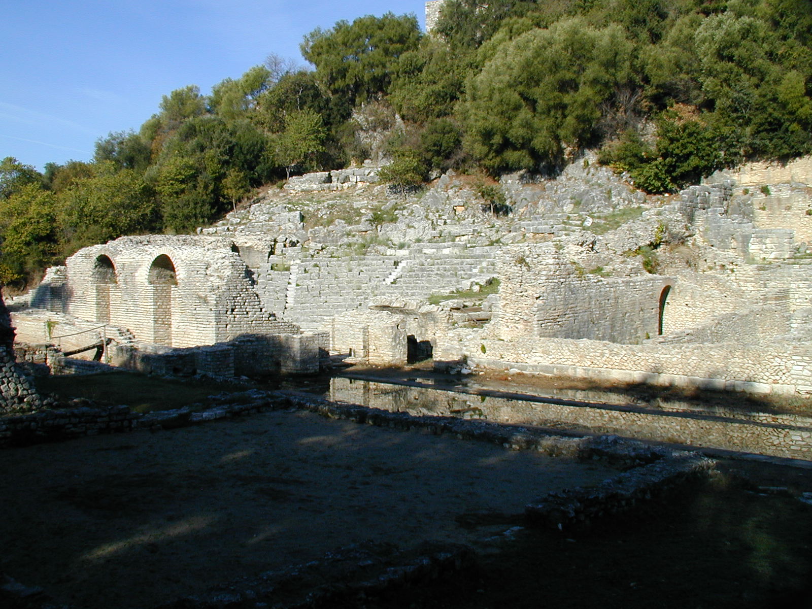
Butrint. 28/03/03; Vlora; 13,500 ha ; 39°50'N 20°00'E. National Park, UNESCO World Heritage Site. A wetland complex in the southwestern part of Albania, famous for its archaeological monuments (ancient port of Buthrotum), historical significance, and natural richness. The core area is composed by a tectonic lagoon of 1600 ha, known as Lake Butrint, that is surrounded by forested hills and mountains and complemented by saltwater and freshwater marshlands. Butrint supports a large number of plants and animals considered as having an unfavorable conservation status either nationally or internationally, such as Numenius tenuirostris, Caretta caretta, Dermochelys coriacea, and Monachus monachus. The area is also an important spawning ground, food source and migration path for fish. The main activities are fishing, mussel farming, stock raising, vineyards and cultural tourism. Ramsar site no. 1290.
Administrative region
Vlora
Global international designation
- Bien du patrimoine mondial
National legal designation
- National Park - Butrint
Last publication date:
28-03-2003
Téléchargement
Ramsar Information Sheet (RIS)
- AL1290RIS.pdf
- AL1290map.pdf