Etosha Pan
- Country:
- Namibia
- Site number:
- 745
- Area:
- 600,000.0 ha
- Designation date:
- 23-08-1995
- Coordinates:
- 19°15'S 15°30'E
Mapa
Photos
Vista general
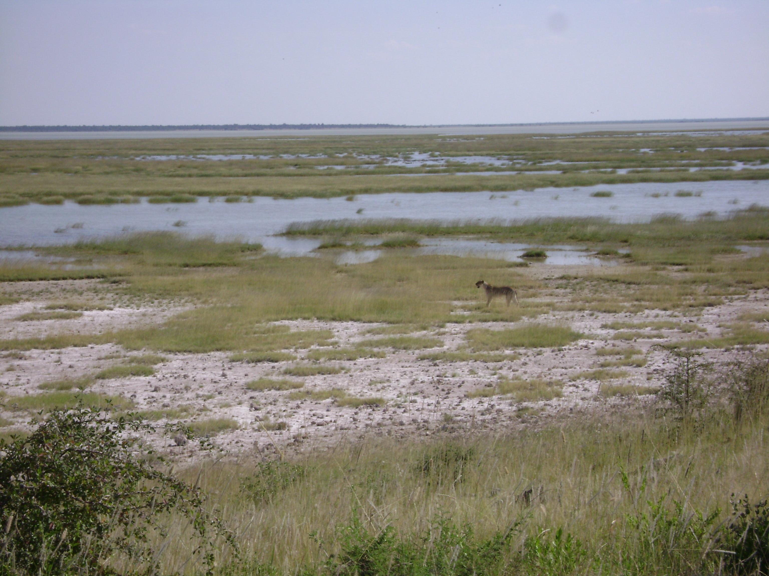
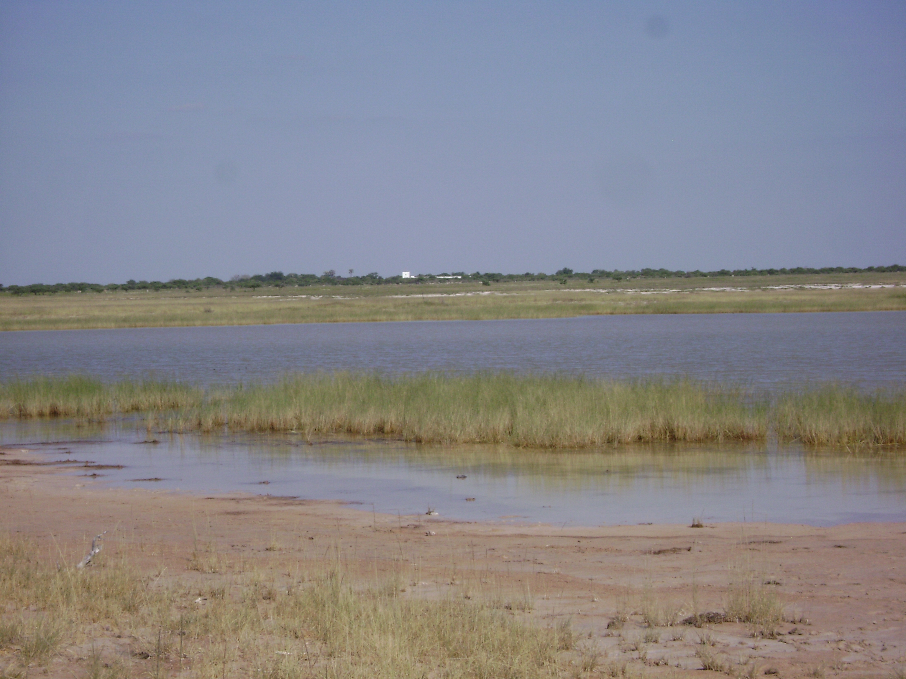
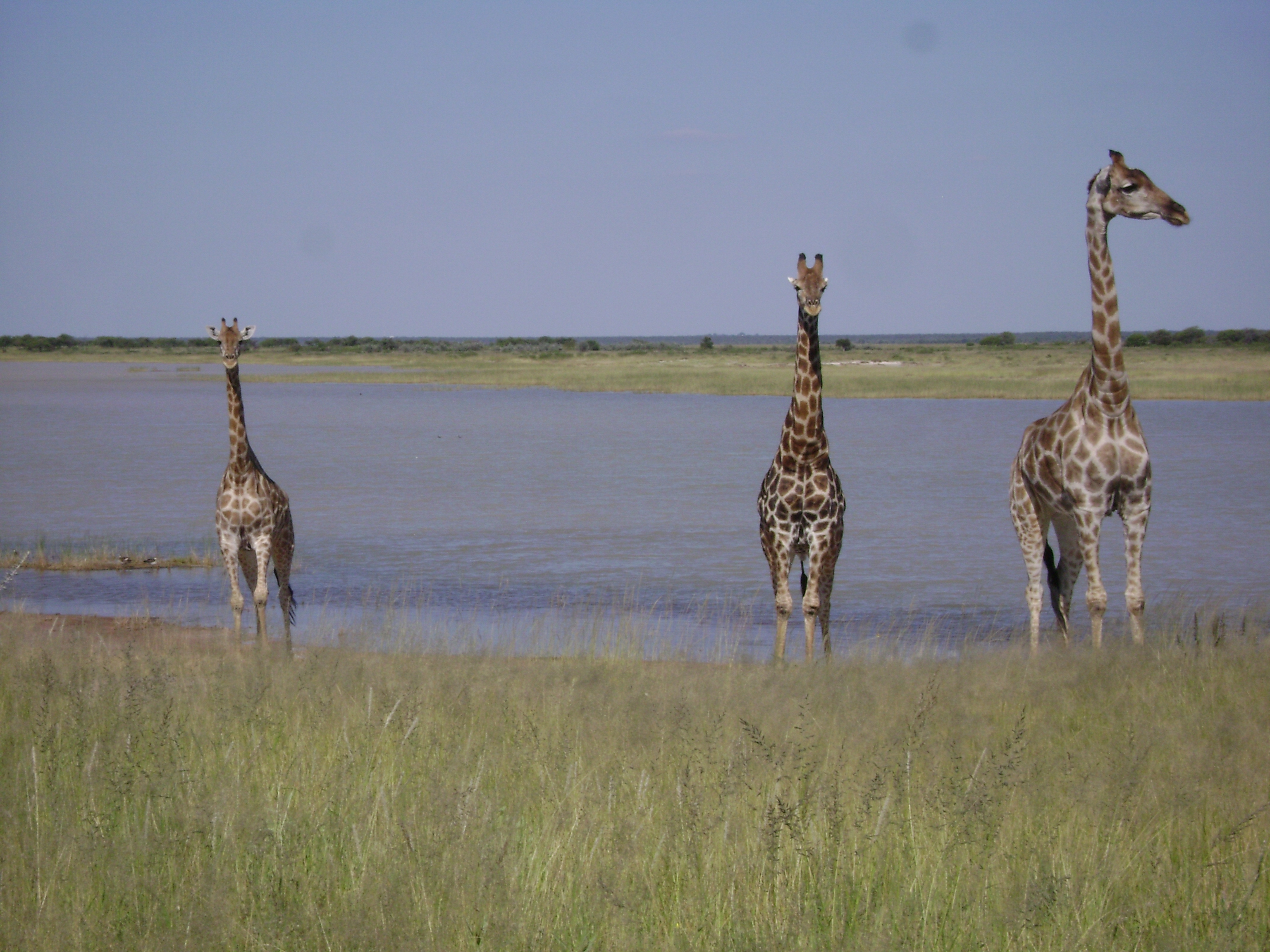
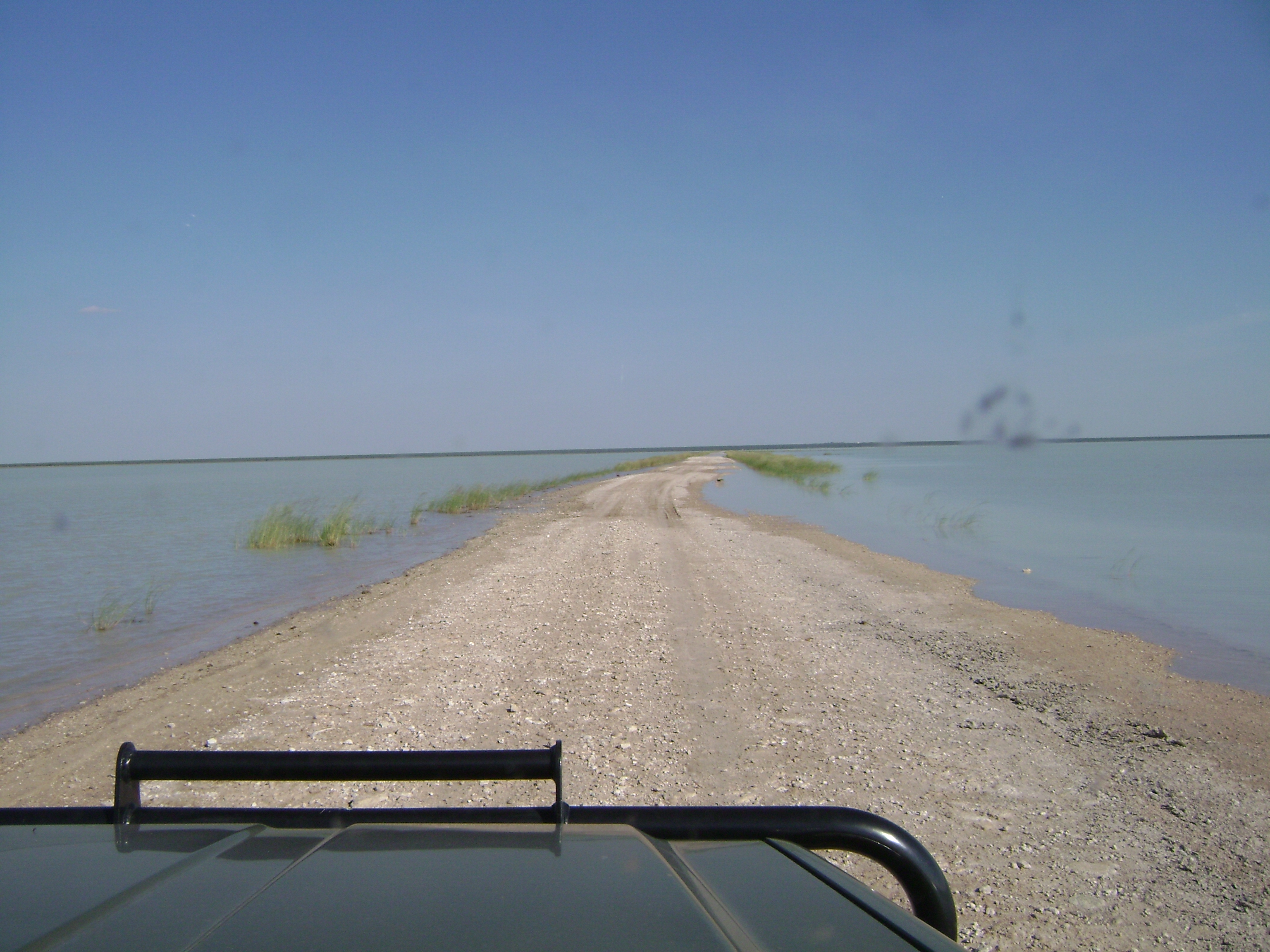
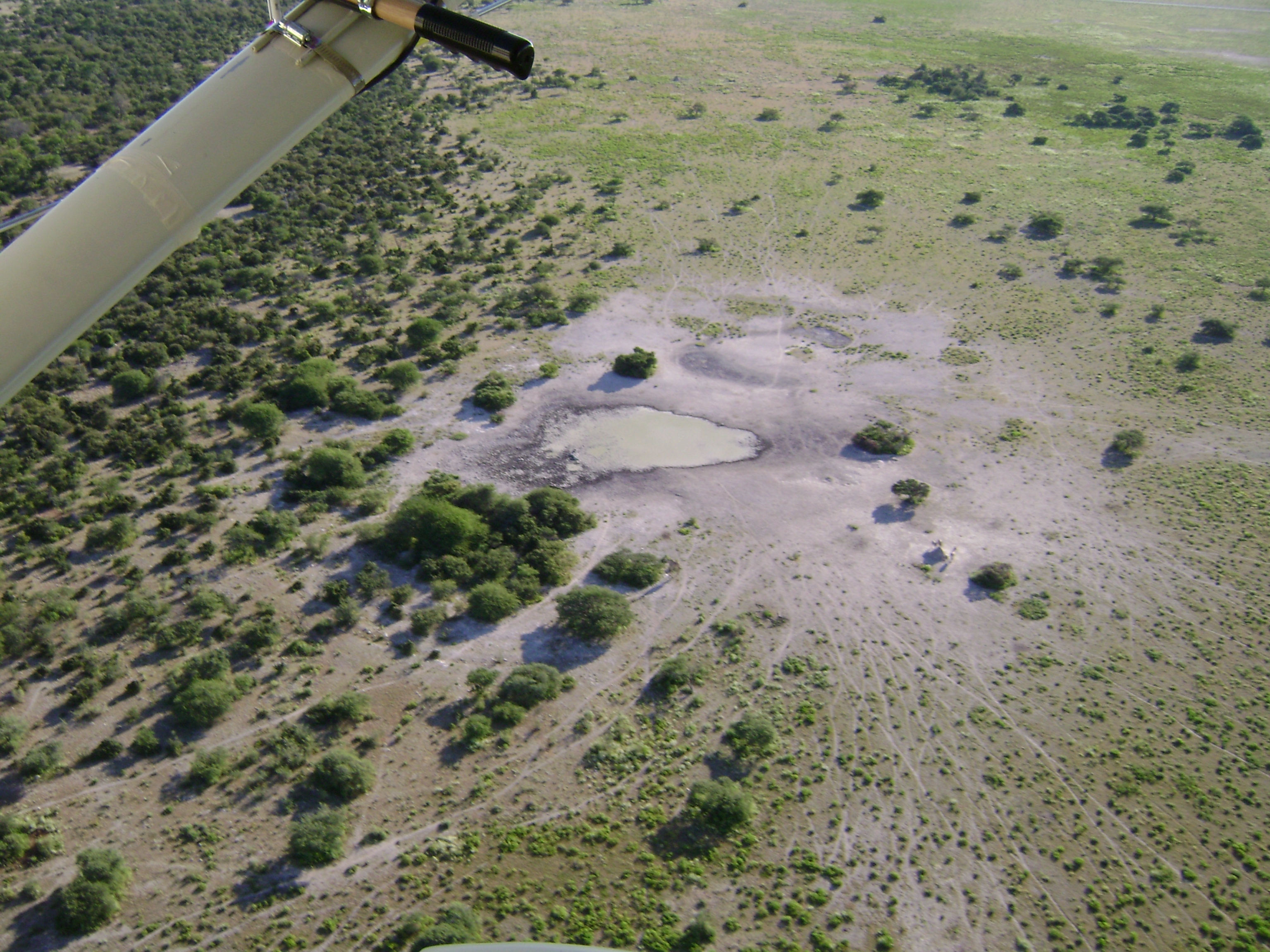
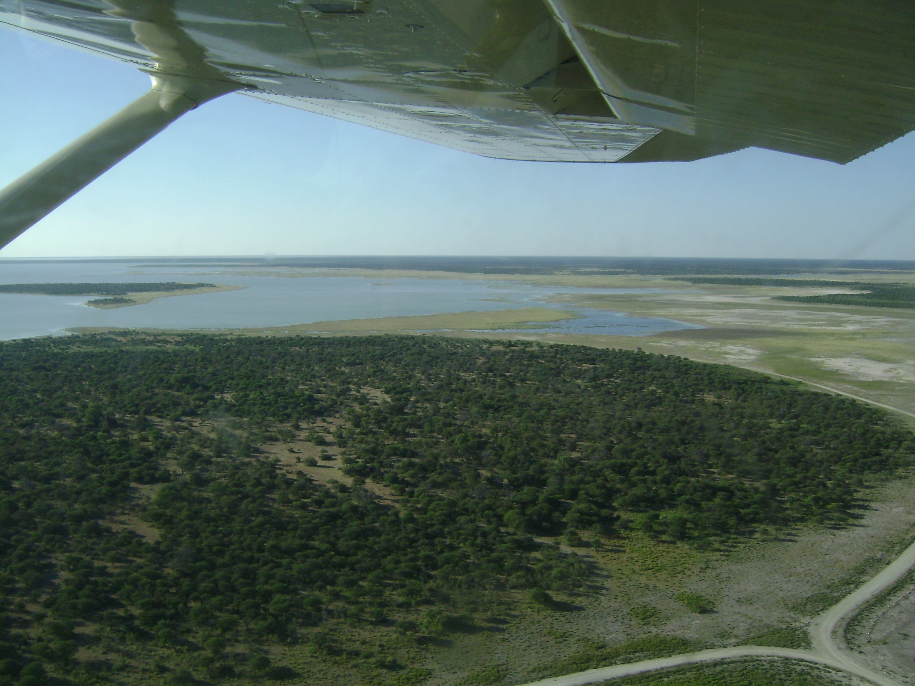
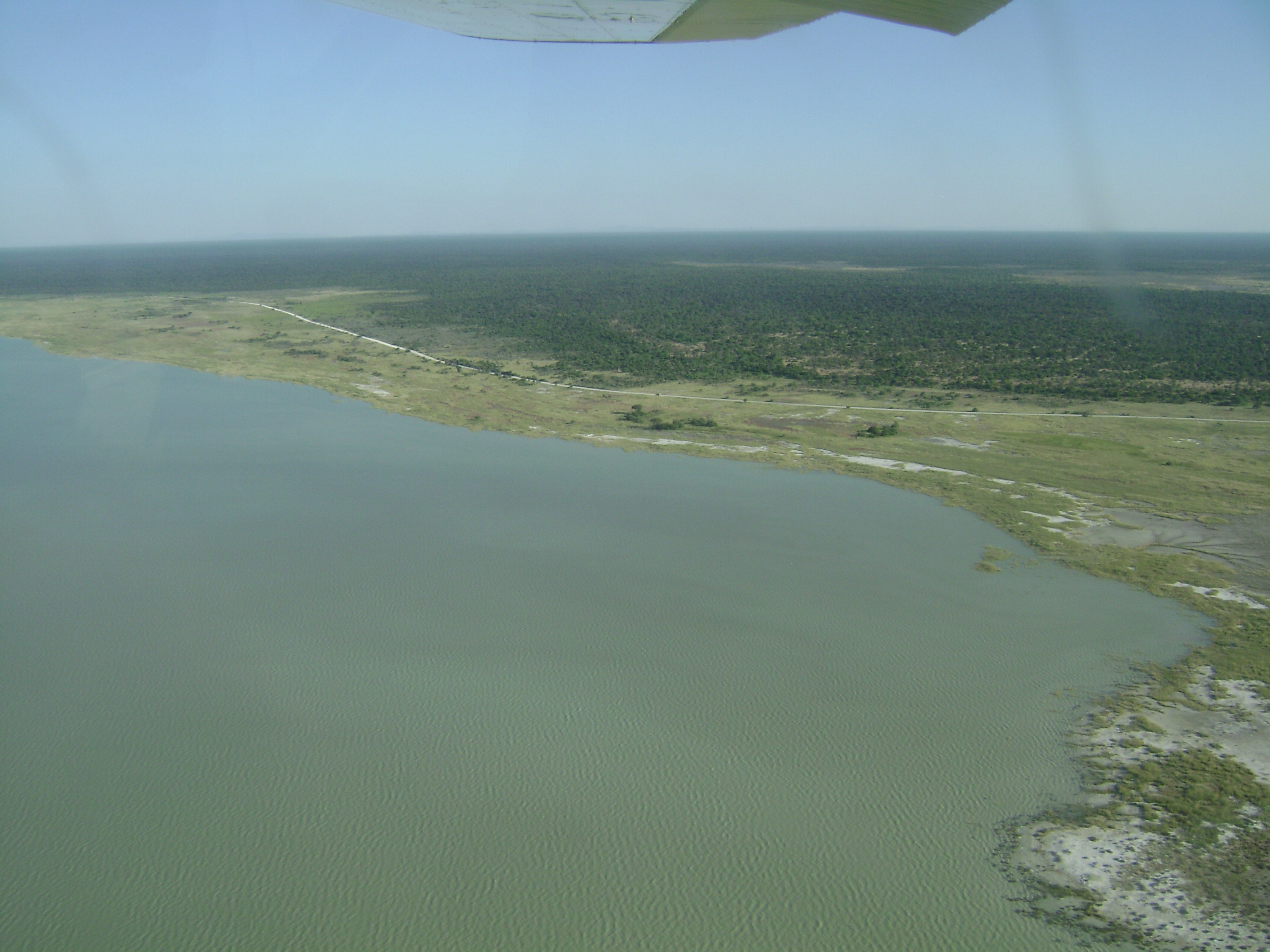
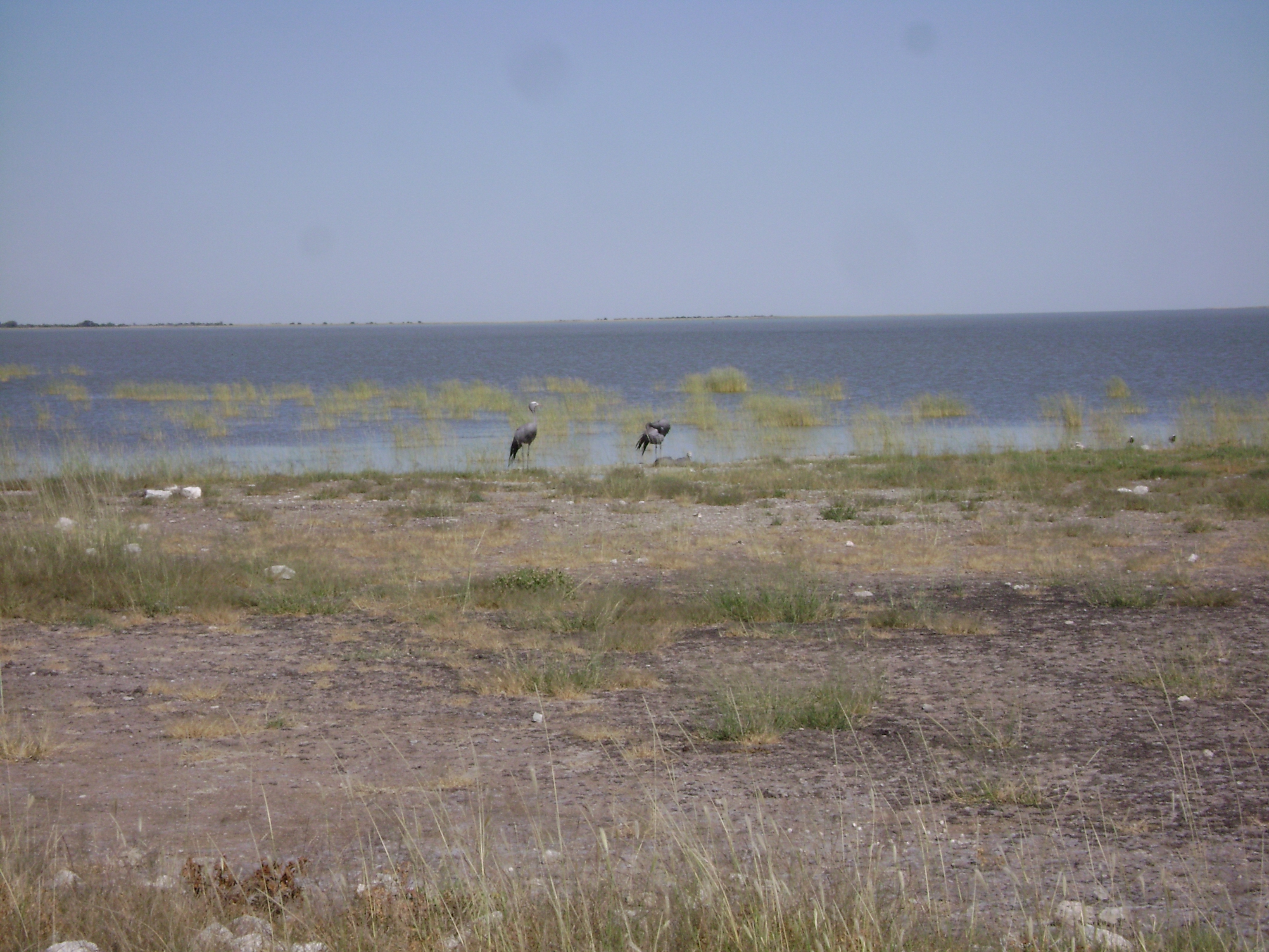
Etosha Pan, Lake Oponono & Cuvelai drainage. 23/08/95; 600,000 ha; 19°15'S 015°30'E. National Park. A system of ephemeral rivers, feeding pans and associated lake and delta. Habitats include the pans, seasonally-flooded grasslands, palm tree savannah, woodlands, and dry bush savannah. The system supports 45% of Namibia's human population, who exist by subsistence farming and fishing on the floodplains and seasonal wetlands. Local people rely upon seasonal ponds and shallow wells for their water. The site supports populations of several rare and endangered large mammals, and in good rainy seasons it serves as a breeding ground for flamingos. Ramsar site no. 745. Most recent RIS information: 1995.
Administrative region
Omusati, Oshana and Oshikoto Regions
National legal designation
- national park - Etosha National Park
Last publication date:
23-08-1995