Latorica
- Country:
- Eslovaquia
- Site number:
- 606
- Area:
- 4,405.0 ha
- Designation date:
- 26-05-1993
- Coordinates:
- 48°29'25"N 22°01'23"E
Mapa
Photos


Vista general
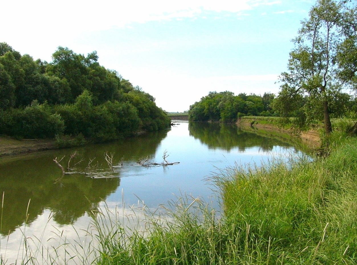
Latorica. 26/05/93; Trebisov; 4,405 ha; 48°29'N 022°04'E. Landscape Protection Area, Nature Reserve. The widest part of the Latorica River, including a well-developed network of oxbow lakes, tributaries, seasonal pools, reedbeds, marshes, wet meadows, pasture and floodplain forest. The site borders Ukraine. The area supports a rich wetland fauna of dragonflies (Odonata), amphibians, and nesting waterbirds. Human activities include fishing, hunting, forestry, livestock grazing, and haymaking. Area extended in 2003. Ramsar site no. 606. Most recent RIS information: 2006.
Administrative region
Kosice
National legal designation
- National Nature Reserve nnr
- Regional Territorial System of Ecological Stability R-TSES
- nature reserve
- protected landscape area
Last publication date:
01-01-2006
Descargar
Ramsar Information Sheet (RIS)
- SK606RIS.pdf
- SK606RISformer2002_EN.pdf
- SK606map.pdf