Sango Bay-Musambwa Island-Kagera Wetland System (SAMUKA)
- Country:
- Uganda
- Site number:
- 1641
- Area:
- 55,110.0 ha
- Designation date:
- 15-09-2006
- Coordinates:
- 00°55'S 31°46'E
Mapa
Photos
Vista general
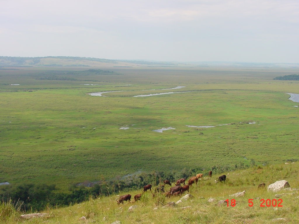
Sango Bay-Musambwa Island-Kagera Wetland System (SAMUKA). 15/09/06; Masaka, Rakai; 55,110 ha; 00°55'S 031°46'E. Important Bird Area. A mosaic of wetland types including the biggest tract of swamp forest in Uganda, papyrus swamps, herbaceous swamps interspersed with palms and seasonally flooded grasslands, sandy, rocky and forest shores, and three rocky islets about 3 km offshore in the Sango Bay. The area lies in the transition between the East and West African vegetation zones and this biogeographical ecotone makes it biodiversity rich. The system supports huge congregations of waterbirds, hosting an average of 16.5% of the population of Grey-headed Gulls (Larus cirrocephalus), and hosts globally endangered mammals such as Elephant, Black and White Colobus Monkey and a subspecies of the Blue Monkey. It is a source of fish to the people of the area, of medicinal plants, of grazing and of raw materials for building and making crafts including luxurious sofa chairs and mattresses. Tourism has been developed on Musambwa Island. Relatively inaccessible, Sango Bay forests have had no immediate threats; however, as overexploitation of resources and grazing depletes the rest of the landscape, forest reserves become the immediate retreat for the surrounding communities. The site contains Stone Age artifacts, internationally known as the Sangoan industry, which dates to about 200,000 years ago. Ramsar site no. 1641. Most recent RIS information: 2006.
Administrative region
Masaka, Rakai districts
National legal designation
- Forest Reserves - Marabigambo, Kaiso, Tero and Namarara; Sango Bay Forest reserve
- World's Stone Age Site
Last publication date:
15-09-2006
Descargar
Ramsar Information Sheet (RIS)
- UG1641RIS.pdf
- UG1641map.pdf